top of page


Driving Decarbonization: Automating Student and Employee Travel Time and Distance Calculations for the University of Colorado Boulder
Project: Origin-Destination (OD) Cost Analysis Automation Tool
Client: University of Colorado Boulder (UCB) Sustainable Transportation Team


Breaking Down Data Silos: How Facility Technology Modernization (FTM) turns Buildings into Smart Campuses
For many facility management teams, responding to work orders involves logging into various maintenance portals, looking up asset information in spreadsheets or database records, searching a shared drive for floor plans as PDFs or CAD files, and dispatching a technician to locate the correct access panel. In many situations, the technician may not have access to the asset records in the field, requiring additional office work upon their return. In modern commercial, healthca


Fast Track to ArcGIS Pro: A Guide for ArcMap Users
ArcMap was officially retired on March 1, 2026, meaning it is no longer supported by Esri.
The good news? ArcGIS Pro is not just a replacement. It's better, faster, and significantly more stable than ArcMap. For those hesitant to make the switch, this guide offers a fast way to get comfortable.


Tackle Your To-Do List with ArcGIS Field Maps
Managing fieldwork can mean juggling spreadsheets, emails, and phone calls just to keep track of what needs to be done. Fortunately, Esri has added task capabilities to ArcGIS Field Maps, providing a simple way to create, assign, and manage fieldwork directly within your ArcGIS environment.


Tazewell County ETSB Advances Landmark School Safety Initiative
TAZEWELL COUNTY, IL - Tazewell County Emergency Telephone System Board (ETSB) is nearing completion of a comprehensive countywide initiative to map the interiors of all K-12 facilities, providing first responders with unprecedented wall-to-wall visibility. Leveraging the Illinois NG9-1-1 grant for public school buildings, the county has nearly completed mapping of all public schools. With the final public school and a planned expansion into private facilities slated for compl


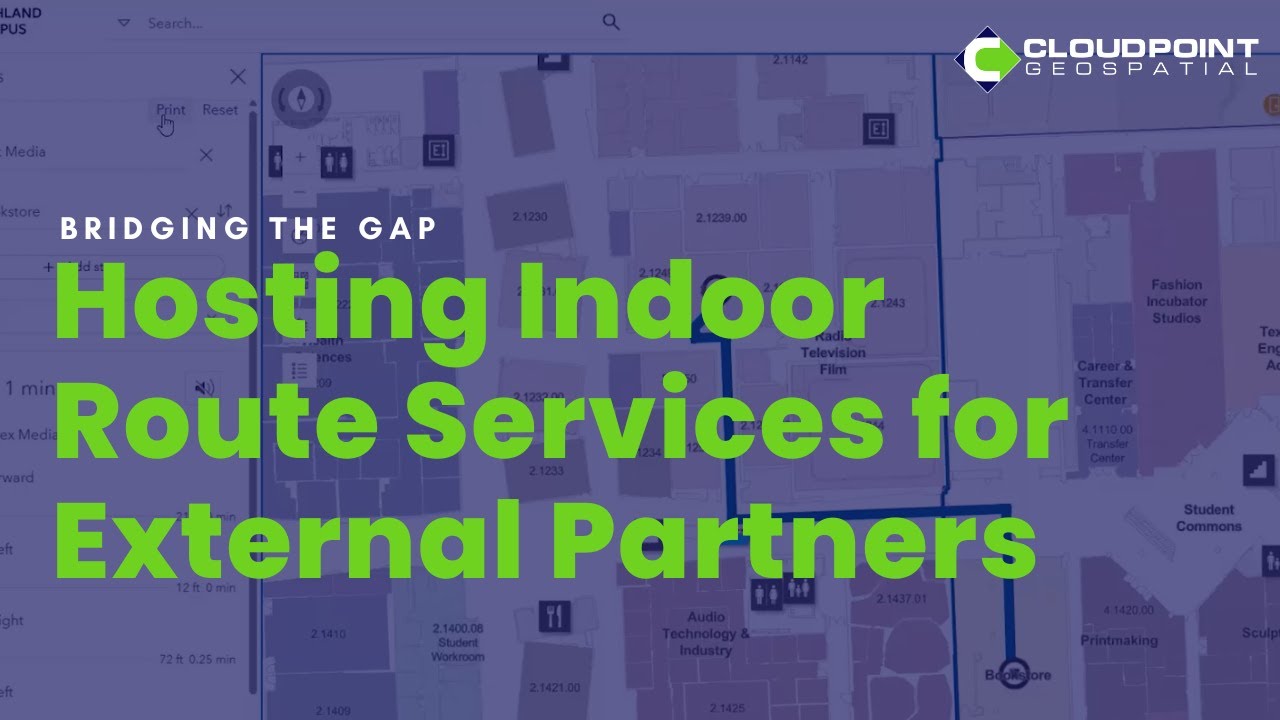
How Cloudpoint Geospatial Supported Enhanced Indoor Routing at Austin Community College
ACC partnered with Cloudpoint Geospatial. As an experienced Esri Gold Partner, Cloudpoint provided the missing link by hosting ACC's network datasets within our own, secure ArcGIS Enterprise environment in Amazon Web Services (AWS).


New Year, New (ish) Faces
We're starting off the year welcoming two new employees to the team! Seth Stark is joining us as Local Government Team Lead for the Eastern US. Those in the Illinois GIS Community will recognize Seth! Having previously served the City of Decatur for over 13 years and the City of Garden Grove, California, for 5 years, he is not new to the GIS scene.


Keeping Your Public Safety GIS Running Smoothly: Key Considerations for NG9-1-1 Data Maintenance
Public safety GIS is not a one-time project. It's an ongoing commitment. Unlike many GIS implementations where data can remain relatively static, public safety datasets require continuous attention because errors surface in the highest-stress, most critical circumstances imaginable.


North Park Water Boosts Accuracy and Efficiency with GPS System Survey and ArcGIS Integration
North Park Water (NPW), a mid-size utility serving more than 35,000 residents in northern Illinois, faced a common yet critical challenge: outdated and inaccurate maps of its underground infrastructure. To improve service reliability, safety, and efficiency, NPW launched a four-year GPS System Survey to rebuild its GIS from the ground up. Partnering with Cloudpoint Geospatial for field expertise and Seiler Geospatial for Trimble GNSS technology, the district collected high-ac


Breaking Down ArcGIS Enterprise 12.0: Are You Ready to Upgrade?
ArcGIS Enterprise 12.0 marks the transition to the next generation of self-hosted web GIS. While there are several exciting new features coming to ArcGIS Enterprise, note that several application development platforms are retiring with this release. It may be worth considering holding off and ensuring all applications are migrated before making the jump.


Town of Normal, Illinois Digitizes Lift Station Inspections and Transforms Workflows with GIS
Lift stations are critical to moving stormwater through the sewer network, and reliable inspections are essential to public health. To overcome delays and errors caused by paper-based inspections, the Town of Normal partnered with Cloudpoint Geospatial to modernize its workflow. By implementing a GIS-driven solution with real-time data collection, automated alerts, and live dashboards, staff gained faster insight, reduced risk, and improved oversight of critical infrastructur


ArcGIS Utility Network in Action: Day-to-Day Workflows After Go-Live
A Utility Network migration shouldn’t feel like a leap into the unknown. With the right preparation and training, teams can understand what everyday editing will look like long before the system goes live. This post offers a clear, approachable preview of the workflows and concepts that shape daily life in the ArcGIS Utility Network; because when people know what to expect, adoption is smoother and the system delivers value faster.


The New Normal: Smarter Local Government GIS
Cloudpoint recently hosted another successful Local Government GIS Solutions Showcase, this time in the heart of Central Illinois. Held at the Fire Department Headquarters in Normal, the event brought together professionals from a wide range of local government departments and agencies. Those who braved the snowy weather joined in for a full day of learning and exploration of Esri-powered geospatial tools.


Automating Office Assignment Monitoring in ArcGIS Indoors with Attribute Rules
ArcGIS Indoors offers a comprehensive framework for managing indoor spaces, allowing organizations to precisely map, assign, and analyze rooms, desks, and facilities. The ArcGIS Space Planner application streamlines the assignment and monitoring of spaces within buildings for managers. While ArcGIS Indoors offers a strong foundational data model and user interface, its capabilities can be further enhanced by introducing additional data intelligence.
bottom of page