Don't miss out! Find our next ArcGIS Showcase here.

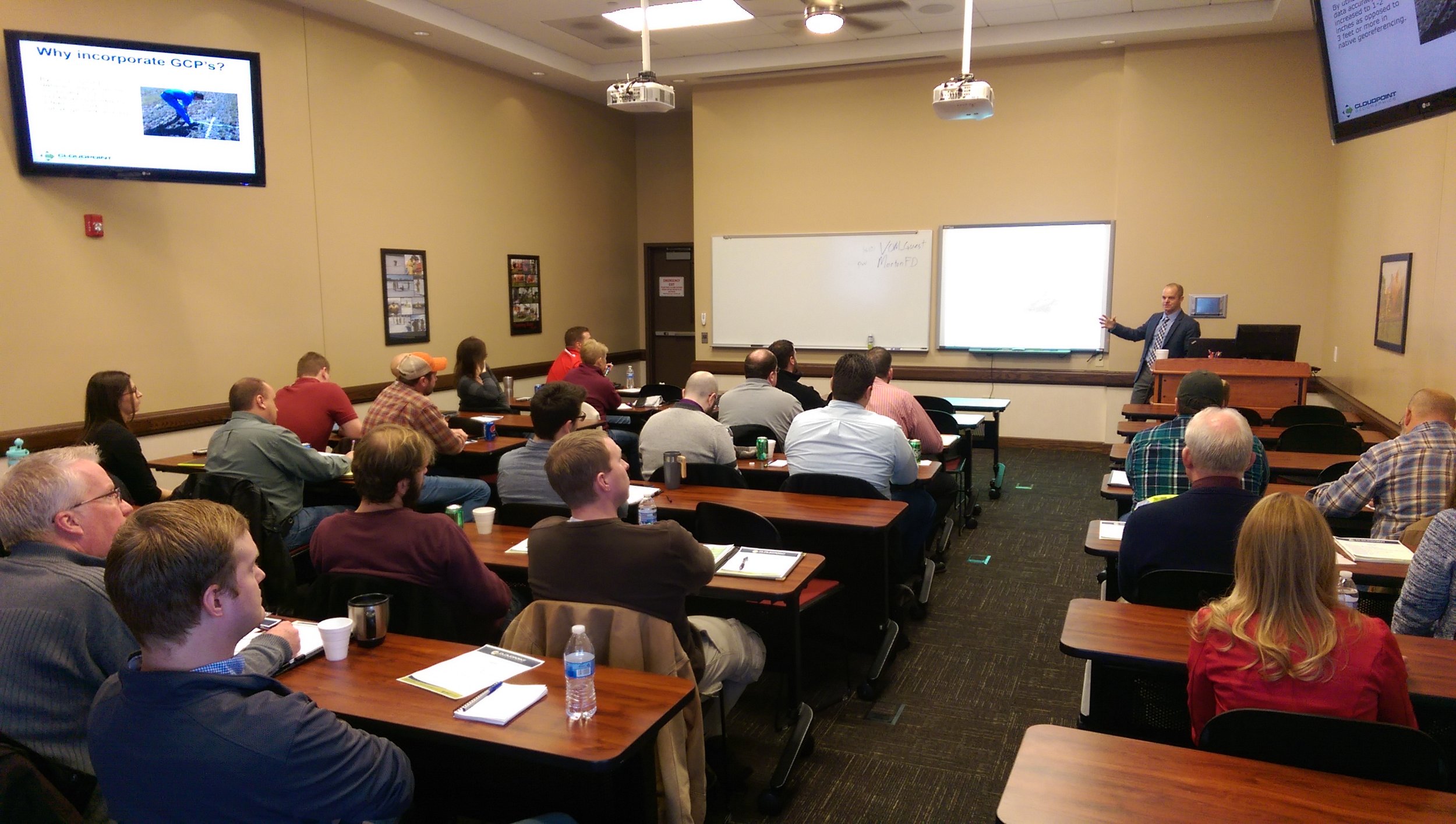
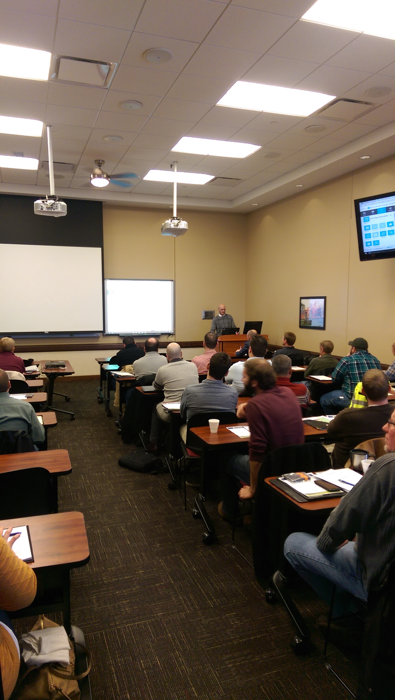
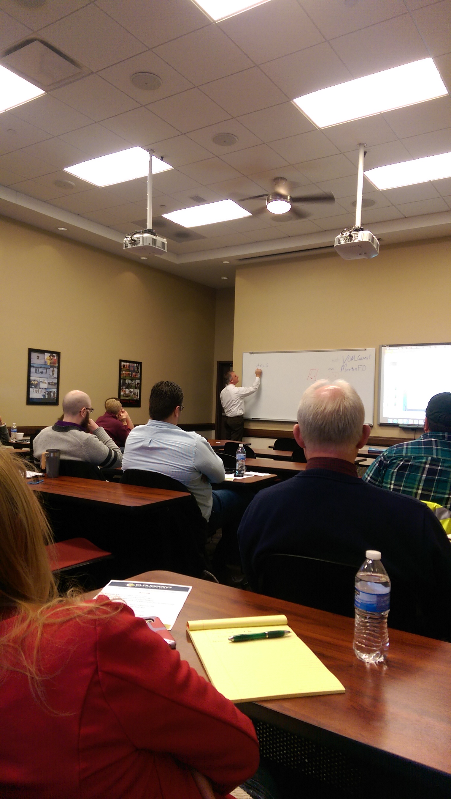
This past Friday, December 16th was another installment of our ArcGIS for Local Government Solutions Showcase in Morton, IL. Thanks to all our participants and speakers who braved the blustery day. Here are a few links and explanations to a few of the topics we covered.
What's new with Parcel Mapping:
Jonathan Hodel presented on what is new in regards to parcel mapping. By utilizing the Community Parcel tool in ArcGIS Pro, Jon was able to show the new ability of bringing one set of parcel data (i.e. from a City) and merge it with that of another agency (i.e. for a County). You can view a slide show of Jon's presentation HERE or check out the Community Parcels video.
Lee County- Preparing Precinct Data for 2020 Census:
DownloadThomas O'Malley is GIS Analyst for Lee County, Illinois. He presented on preparing his data for the upcoming 2020 census. Thomas completed his task by utilizing ArcGIS Online, WebAppBuilder, VEMACS, voter data, and ArcGIS Tools, and was able to get several branches of the County to work together interdepartmentally. You can learn about Thomas' process by reviewing his presentation HERE
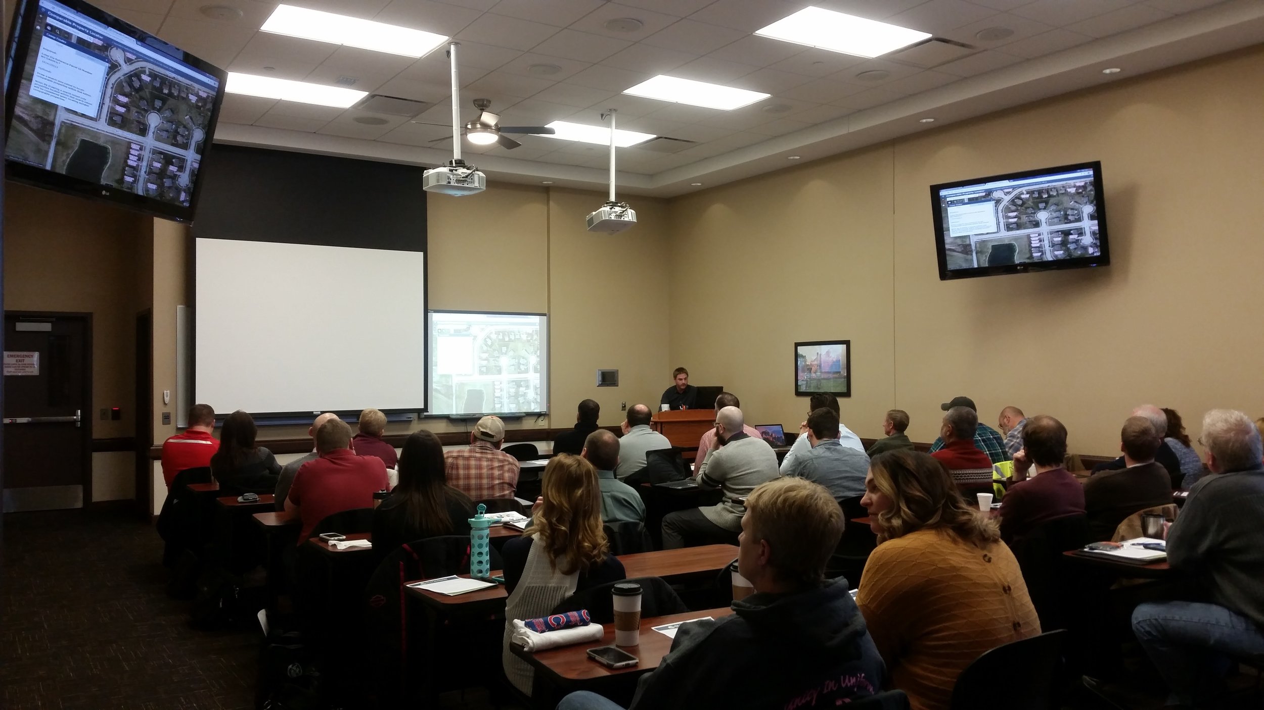
Grundy County Comps Finder App:
Dave Ostrander is the GIS Manager for Grundy County, Illinois and he has created an amazing tool for comparing data about homes and parcels that are in geographic relation to each other.
Build Your Own Web Apps:
Paul Stephenson and Matt Junker from Cloudpoint Geographics discussed how organizations can produce webmaps via the Web App builder for ArcGIS. You can learn about this powerful GIS tool by revisiting Paul's presentation HERE.
A Lunch Review of OpenFields:
During lunch we discussed and released a free tool we are calling “OpenFields”. It is a tool used in ArcGIS Desktop ArcMap at any level for farmland assessments in Illinois. While it does not perform any valuation calculations, the tool performs the necessary geospatial analysis to create a text file (.txt) or Excel spreadsheet (.csv) to import into your County CAMA system. The tool is available for download here: Download Or if you are so inclined, see the source code on Github.com.
Overview of Drones and UAV's:
Cloudpoint's resident drone pilot, Jonathan Hodel, discussed the benefits of incorporating drones into your organization's GIS. You can view Jon's presentation HERE.
ArcGIS Pro Unknown Unknowns:
Micah Williamson of Cloudpoint Geographics talks about what's new with ArcGIS Pro, where he sees it going, and how it will work for your organization. You can view Micah's presentation HERE.
Thanks again to everyone was helped make this event such a great success! we can't wait to do it again in a few months. Remember you can stay current on all things Cloudpoint by liking us on Facebook, following us on Twitter, or going to our website.
