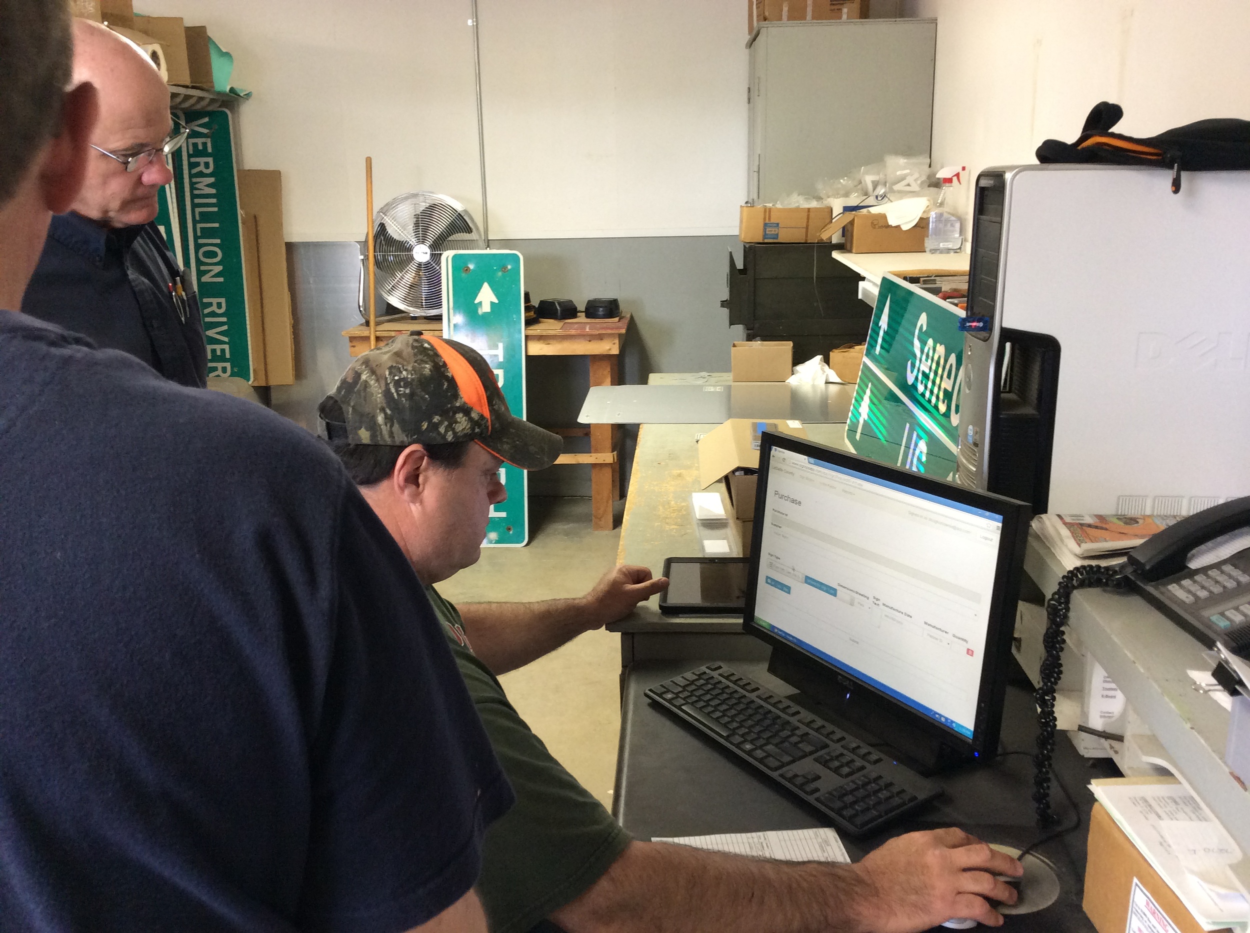
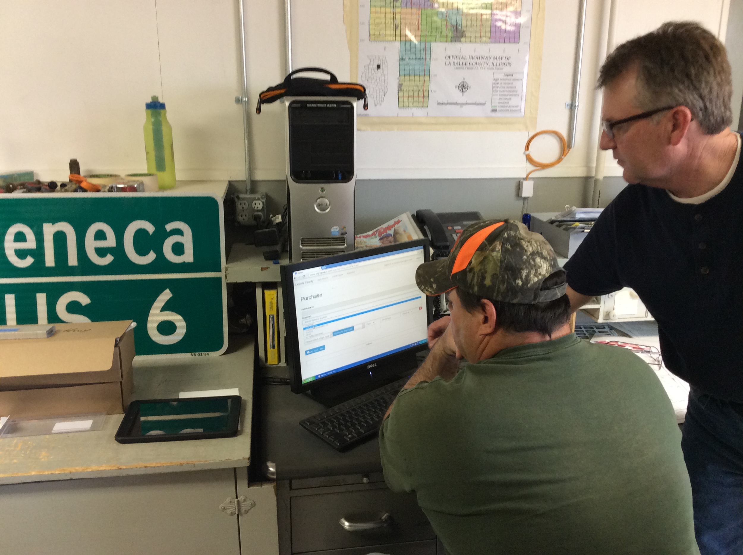
In 2023, the University of Wisconsin at Madison determined they needed to update the inventory of their roadway signs on campus. Student safety, especially at night, is of paramount importance. Cloudpoint Geospatial was subcontracted to perform an update to their roadsign inventory of which the scope included capturing the geographic location of all their signs on both roadways and parking lots. Cloudpoint offers a complete sign inventory system using SignOps, a mobile-friendly application for tracking and managing sign assets, so it was a perfect fit.
How can Your Mobile Device improve traffic sign maintenance?
A look back: Cloudpoint's 2014 Year in Review
First Flight: We've come a long way from Kitty Hawk, NC
First flight of the Wright Flyer I, December 17, 1903, Orville piloting, Wilbur running at wingtip. http://en.wikipedia.org/wiki/Wright_brothers
A close up of one of the props on Cloudpoint's first quadcopter which was later dubbed "Icarus".
It's been over 111 years since the birth of powered aviation and its amazing to think of where we've gone. Cloudpoint conducted its first successful GPS-guided aerial mapping test flight on June 9, 2014 at the Roanoke Apostolic Christian cemetery. Height: 150 ft, Speed: 6 mph, Flight time: 8 minutes
Mapping at Sonic Speed
Cloudpoint's new Chevy Sonic with almost the whole crew loaded inside.
In July we purchased our first company vehicle, a Chevy Sonic, from Sam Leman in Eureka, IL. The logo and lettering by Kat-n-Mouse Graphics of Roanoke. This has been a great vehicle for us as we put many miles on traveling throughout the state to our various clients.
Signs of Success
On May 1 we successfully rolled out our first custom application solution called SignOps, a sign inventory management solution using barcode tags for asset management. LaSalle County was the first project where we tagged over 6,000 signs with barcodes and provided a complete turn-key mangement solution with the SignOps application.


