Don't miss out! Find our next ArcGIS Showcase here.
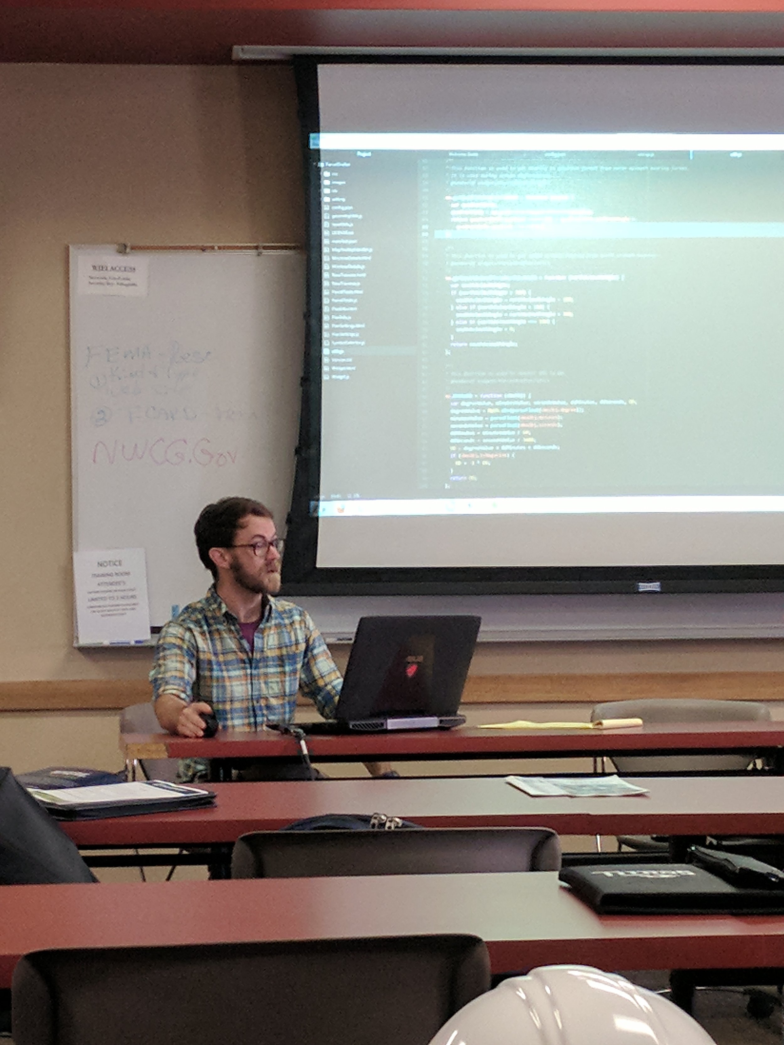
Yesterday, September 14th, was another installment of our ArcGIS for Local Government Solutions Showcase in Stoughton, Wisconsin. We would like to thank the City of Stoughton and the Stoughton Fire Department for being great hosts. We would also like to thank all of our presenters and attendees who helped make the event a success. Below you can find brief outlines and links, when available, to each of our speakers' presentations.
Joe Araiza: Smart Communities
Joe Araiza from Esri presented on the idea of Smart Communities and how it can impact local governments moving forward. By incorporating GIS into every facet of government, your organizations can start to look for trends in data and where potential issues may arise. The ArcGIS platform allows organizations unparalleled connectivity and the ability for office, field, and executive staff to communicate with each other in real time when handling projects. Feel free to contact Joe at jaraiza@esri.com with any questions or more information.
Chris Beyett: GeoEvent Server
Chris Colney from Grant County, WI outlines the process of creating Esri web applications from templates, and how it helps him in his position as a GIS Specialist
Esri Solution Engineer, Chris Beyett, spoke with us about the updated capabilities of Esri's GeoEvent Server. Specifically, he touched on the SnowCOP application which runs GeoEvent Server. It's a great way to get up to the minute location based data in real time. In SnowCOP, when a plow drives down a road, the road segment changes colors to reflect that the road is in good standing and is navigable. Feel free to email Chris at cbeyett@esri.com for more information or visit the Esri SnowCOP page HERE.
Jonathan Hodel: What’s new with Parcel Mapping
Jonathan Hodel presented on what is new regarding parcel mapping. By utilizing the Community Parcels tool in ArcGIS Pro, Jon was able to show the new ability of bringing one set of parcel data (i.e. from a City) and merge it with that of another agency (i.e. for a County). You can view a YouTube video by Jonathan about ArcGIS Community Parcels HERE or check out Esri's Community Parcels webpage HERE.
Chris Colney: Building Esri Web Apps from Templates:
Chris Colney from Grant County, Wisconsin discussed how organizations can produce webmaps via the Web App builder for ArcGIS. You can view the links that Chris referenced in his presentation HERE and HERE.
What’s new in ArcGIS 10.5.1:
Micah Williamson of Cloudpoint Geographics talked about what's new with ArcGIS Pro, where he sees it going, and how it will work for your organization. You can learn more about ArcGIS Pro HERE.
Congratulations to Chad Churchill who was our office golf champion and winner of an Amazon gift card! Jennifer Borlick came in second place and won a new Cloudpoint Titleist golf hat!
Overview of Drones & UAV’s
Cloudpoint's resident drone pilot, Jonathan Hodel, discussed the benefits of incorporating drones into your organization's GIS. You can view Jon's presentation HERE
Infrastructure Operations and Planning with GIS:
Paul Stephenson, GISP, presented on infrastructure operations and planning with GIS. Paul presented some great information about how cities and organizations can plan out work and accomplish projects. You can view Paul's presentation HERE.
Thanks again to everyone was helped make this event such a great success! We can't wait to do it again in a few months. Remember you can stay current on all things Cloudpoint by liking us on Facebook, following us on Twitter, or going to our website.


