Cloudpoint Team Member, Micah Williamson, Earns Distinguished Award!

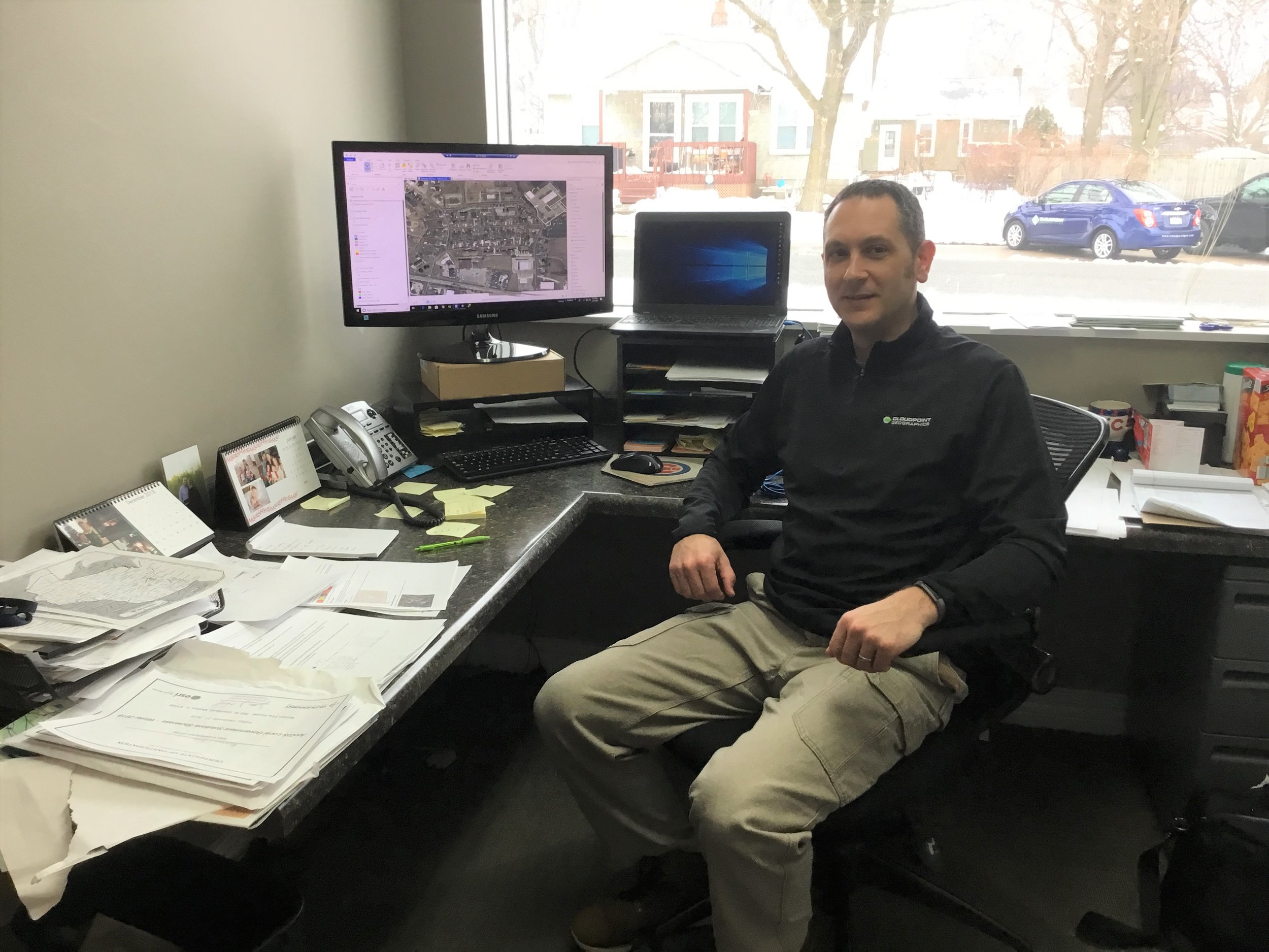
Have you heard? Our very own, Micah Williamson, earned the Hilton Distinguished Collaboration Award at the ILGISA Conference. Micah has been a member of the Cloudpoint team for 7 years, but has been working in the GIS industry for 18 years. At Cloudpoint, he works as our Geospatial Services Director and a certified GISP (Geographic Information Systems Professional). If he doesn’t already sound busy enough, you’ll be surprised to hear that Micah is currently continuing his education (Master’s Degree) at Eastern Illinois University. Micah has a great passion for the work he does.

On October 22nd during the ILGISA Conference, Micah received the Hilton Distinguished Collaboration Award. One award is given out annually at each conference. According to ILGISA, “the Hilton Distinguished Collaboration Award is presented to an individual who has provided extraordinary service to the GIS community in the advancement of coordination between GIS professionals. This award is presented to an individual who has made a significant contribution to the promotion of cooperation within our community and with the people we serve.”

In an interview with Micah, he mentioned that he always strives to do things that would focus on people sharing with each other: ideas, concepts, and even data. Micah emphasized that collaboration is a vital aspect of communication. Later in the interview, Micah spoke out about about his long-lived inclination for collaboration. “I’ve always kind of bent towards talking about what someone is doing or encouraging people to go out and present what they’re doing. Tell your story rather than, you know, keep it quiet.”

We are proud of Micah and his achievement and we will continue to focus on collaboration to better our services to you.

Office Move 2019 is complete!

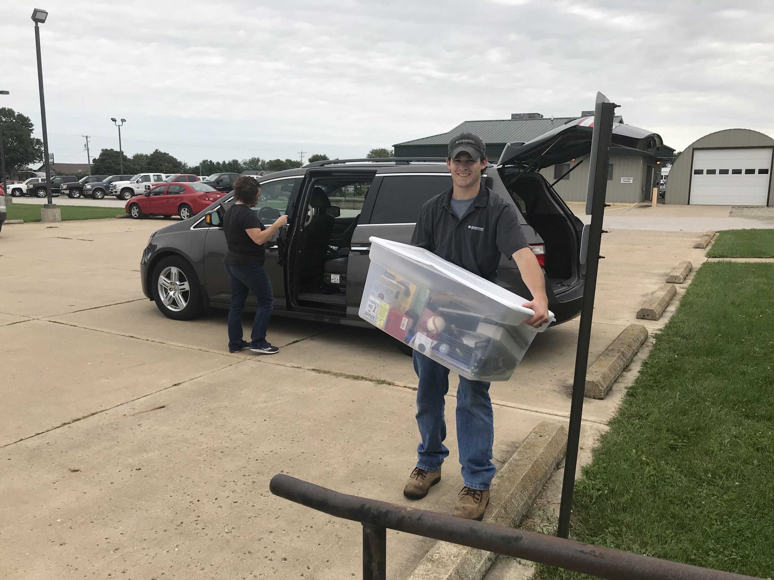
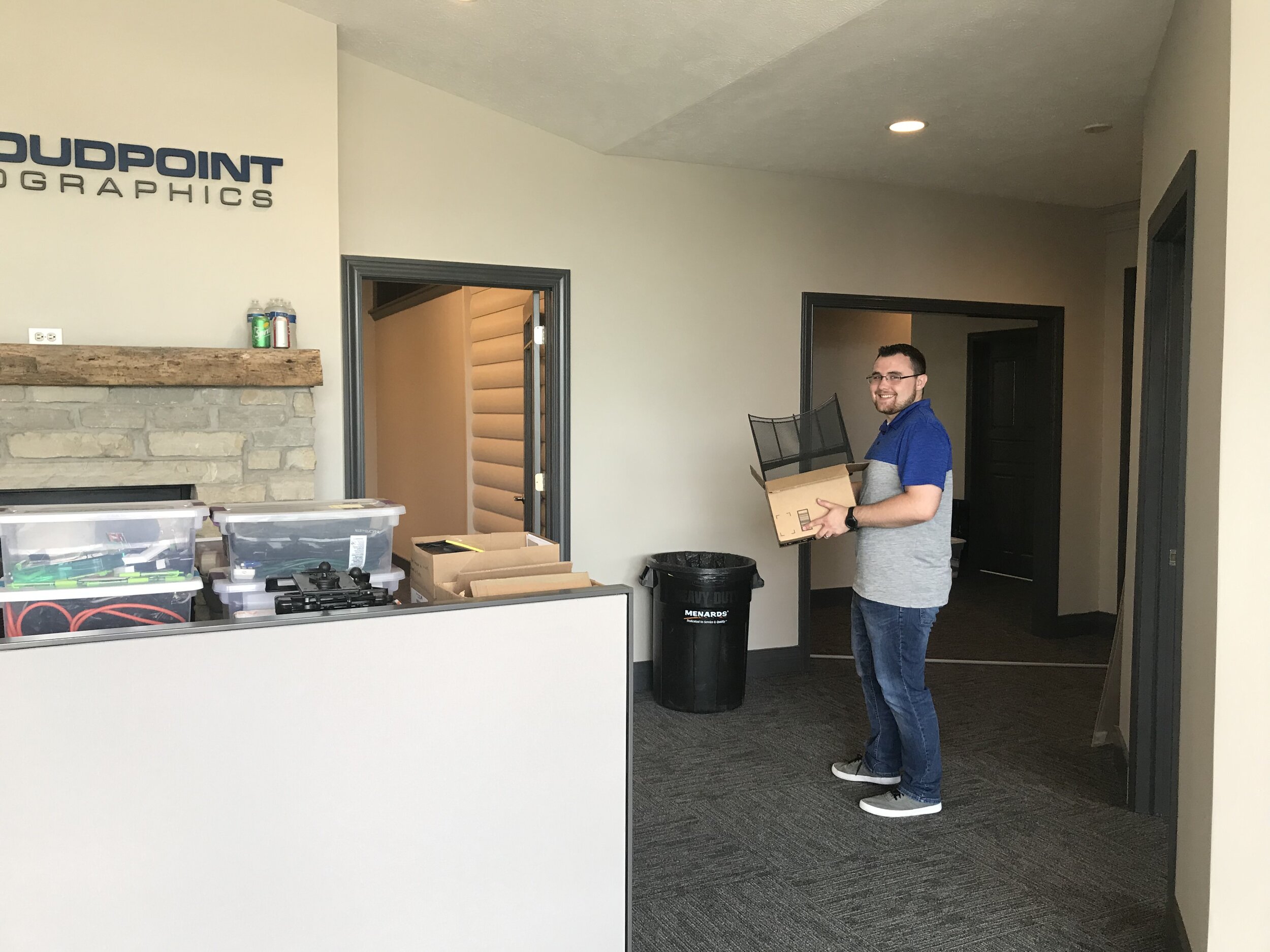
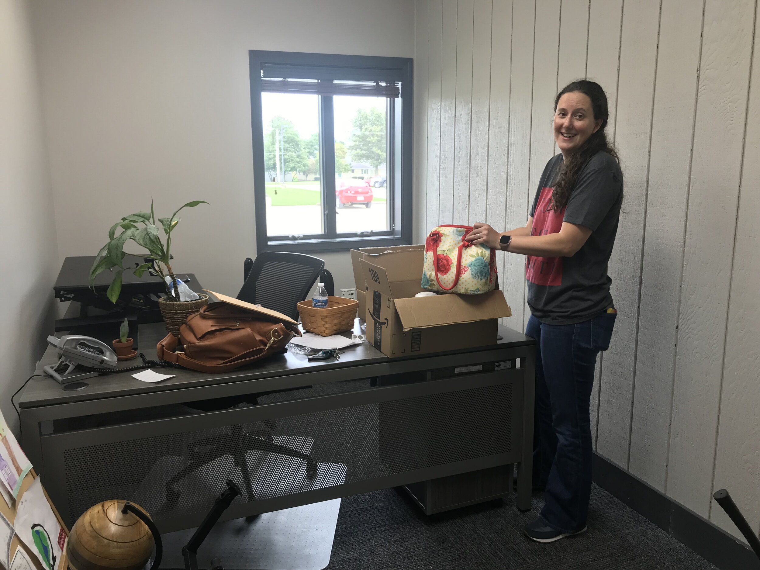
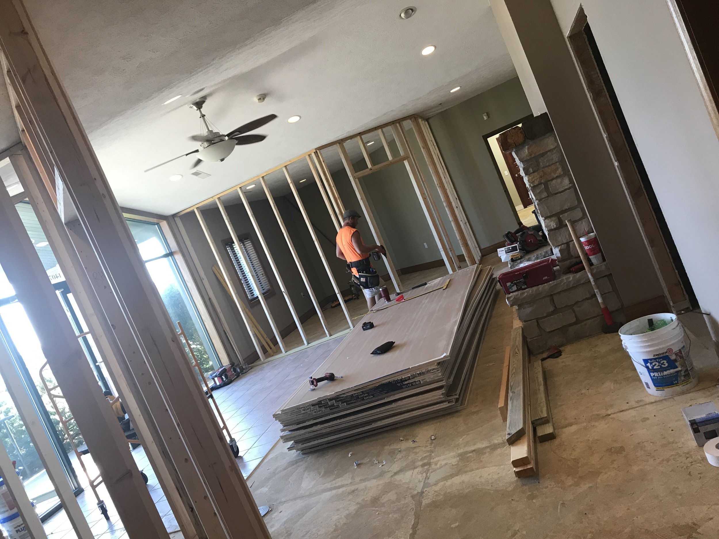
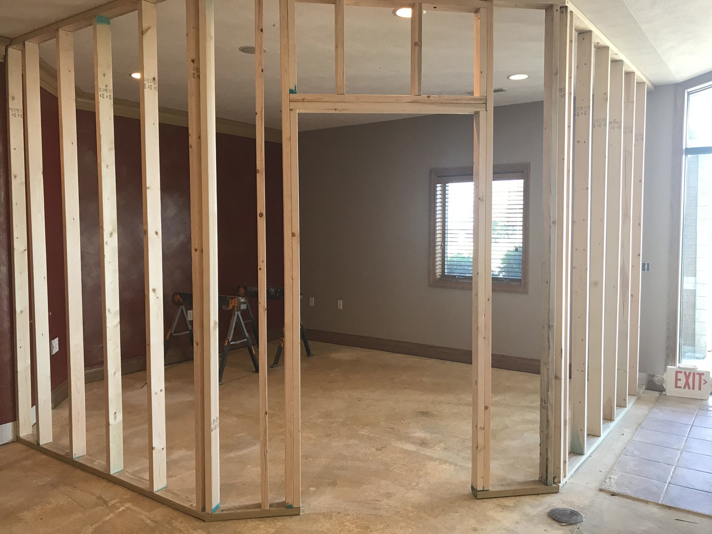
Which comes first, the chicken or the egg? Do you expand your office space and then hire, or wait until you are too crowded and then seek more space? With being located in a small, rural town in central Illinois, office space can be hard to find. So we decided to expand our facilities prior to increasing the size of our team. On September 9, 2019 we moved into what used to be Hagie Equipment, and prior to that was the Amish furniture store in the main portion of a building originally built by H&D Quality Builders. The new space gives us more room, updated facilities, more parking, better access, and improved visibility as we fill out the middle section of 1407 W. Front St in Roanoke. Here are some photos of the recent move process highlighting our team members hard at work. Thankful for God’s blessings in helping us find new space and looking forward to serving our clients in greater capacity.

Congratulations to Matt Junker, our latest GISP!

Congratulations to Cloudpoint's, Matt Junker, for becoming the team's latest certified GIS Professional (GISP).  Matt recently sat for the GISP examination through the GIS Certification Institute (GISCI) back in June.   Obtaining a GISP certificate involves an extensive application process which now includes the exam requirement.   A certified GISP is someone who has proven to be dedicated to the GIS profession and has a clear grasp on geospatial concepts and how to apply them.

734517E5-FADC-4FFD-B076-8062C9392380.jpeg

“Matt is clearly one of the most dedicated GIS professionals in the industry", says Hodel. “He has a tremendous impact on our team’s ability to solve critical problems with geospatial solutions”. One of Matt’s main responsibilities at Cloudpoint is to provide on-going solutions to their managed GIS services clients. Matt also serves as the team leader for the company’s parcel fabric team.

Certified Geographic Information Systems (GIS) Professional endorsed by a 3rd party (GISCI) though a peer-reviewed evaluation.The GIS Certification Institute (GISCI) is a non-profit organization that provides the GIS community with a complete certification program, leading to GISP® (Certified GIS Professional) recognition. GISCI offers participants around the world, from the first early years on the job until retirement, a method of showing competence as professionals to employers in the GIS profession. We offer the only industry-wide, internationally-recognized, software-agnostic certification available to geospatial professionals. The following are some notes highlighting what makes a certified GISP:

  • Has met the minimum standards for educational achievement, professional experience, and manner in which he or she contributes back to the profession, and practices in an ethical manner.

  • Must abide by higher guidelines for ethical behavior.

  • Continues to educate and reeducate him or herself while preparing for recertification.

  • Has had their professional background scrutinized and reviewed by an independent third party organization. An Institute comprised of leading non-profit associations (AAG, NSGIC, UCGIS, GITA, URISA, and GLIS) focused on the application of GIS and geospatial technology.

  • Can come from anywhere in the world, and current, active GISPs reside in all 50 States and 25 foreign countries.

  • Is more than a practitioner of GIS technology.

  • Is a Professional.

Well done Matt!

Cloudpoint recap of CFTA 2019 in Austin,Texas

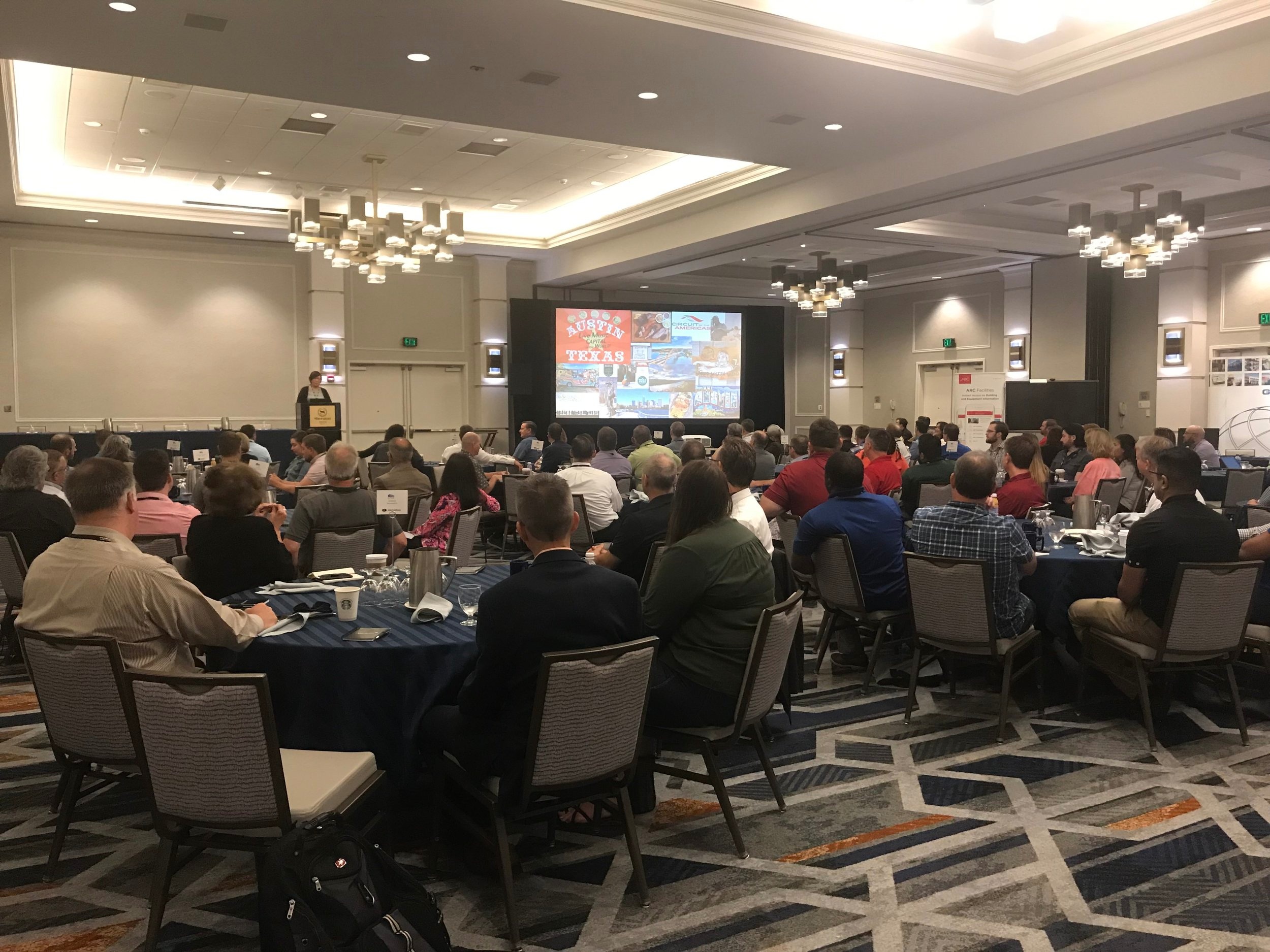
Here’s a collection of photos from my trip to Austin, TX for the CFTA 2019 (Campus FM Technology Association). Great conference ran by outstanding people. Lots of campus facilities leaders who are extremely talented at integrating data solutions, BIM, and GIS. And it was a beautiful city filled with music, culture, electric scooters, history, and a whole lot more.

Jon’s Top 3 Highlights of Austin


cablanding1.jpg

1. The bat colony

This is a must see, Austin has the largest urban bat colony in the world. 1.5 million bats emerge from under the Congress St Bridge every night. Its a continuous stream for about 45 minutes.


IMG_3782.jpg

2. Scooter rides

I found that this is the best way to get around the city. Faster than a car during heavy traffic times. Just pickup a scooter, scan the barcode, and take off. Once your done, you can leave it anywhere and just scan the code to “lock” it. This saved me lots of walking. OK, so the cool app with a tracking map might also have had some influence over me…


IMG_3799.jpg

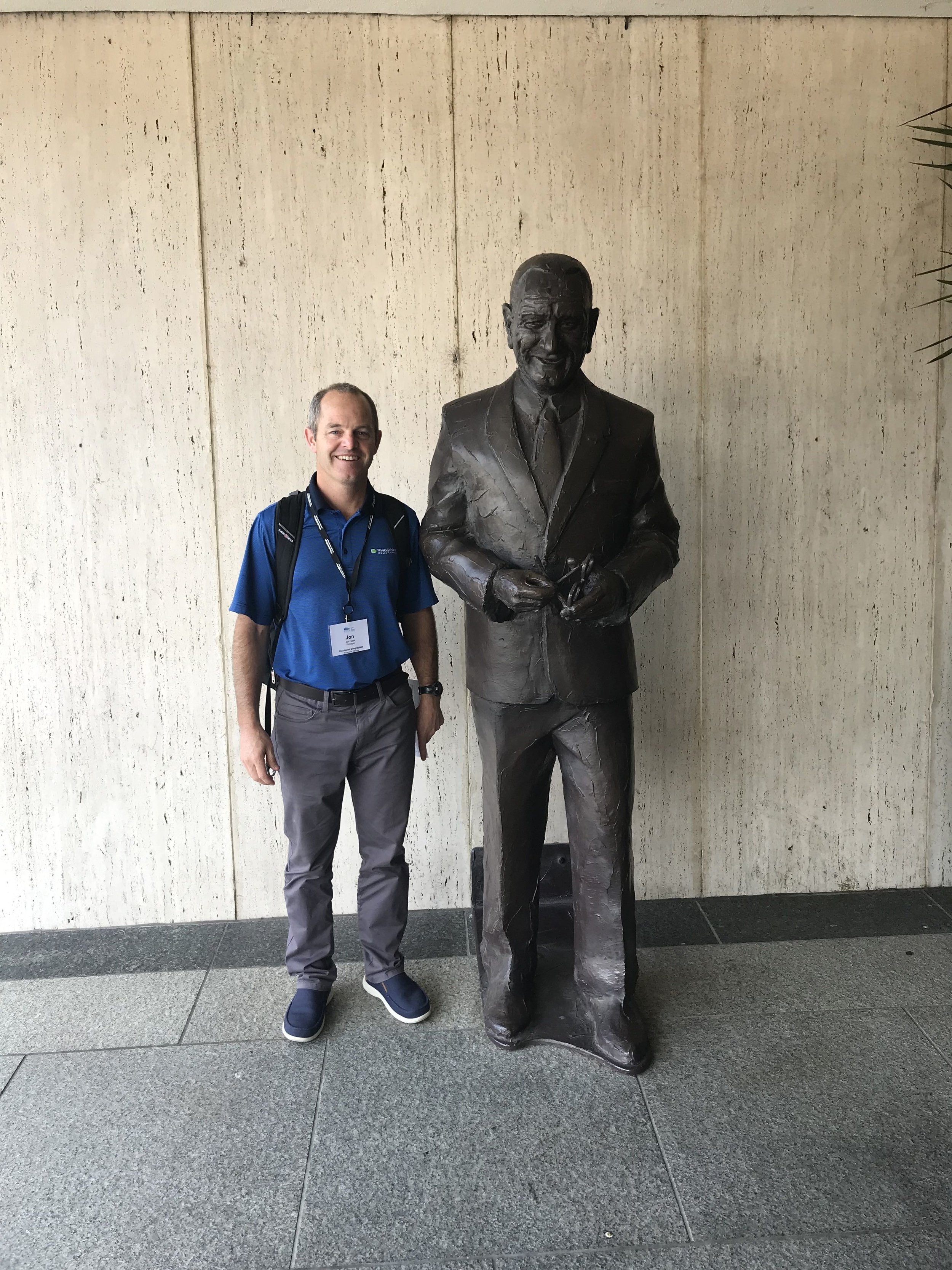
3. LBJ library & museum

Learned a lot of history and details on the life of LBJ. You’ll definitely need at least half of a day to cover the whole thing. It’s well worth the visit.

City of Pekin ready for GIS Excellence

download (3).jpg

The Cloudpoint is excited to have the opportunity to take the City of Pekin’s GIS to the next level. The city has used Cloudpoint’s professional GIS services off and on for the past five years but after losing their full-time GIS coordinator last fall, they realized the critical importance of maintaining their GIS system and decided to take their relationship with Cloudpoint from one of courting, to a more serious partnership. With that, Cloudpoint and the City of Pekin have engaged in a two-year contract for professional GIS services to support the various departments throughout the city. The team has begun intensive meetings with city staff to further dive into their needs and how they can better utilize the GIS system for their daily workflows. With the new contract, Cloudpoint staff will be onsite for up to 30 hours per month, with additional technical support services coming in the forms of enterprise GIS management and GIS application deployment. One of the main objectives is to enable city staff to take more ownership of GIS data and make edits and updates for their department with user-friendly web-based applications. The Client has a wealth of GIS data which has been well managed and distributed in the past but with greater editing capabilities, the use of real-time GIS updates should further enhance the value of their data. In addition, the city hopes to easily share this authoritative data both internally as well as externally to contractors, consultants, and developers. For more information on Cloudpoint’s Managed Professional Services (MPS) please contact us or call 877-377-8124.

New office Coming Soon!

It’s been almost 4 years since we moved into the old dentist office in Roanoke, IL and at the time we knew that space would be limited if we continued to grow. We are thankful and blessed to have experienced consistent growth and realize the time has come to secure some additional space. Remodeling work is well underway at the new location which will be on the west side of Roanoke. The new building will allow additional space for our staff and offer some flexibility for our continued growth. The team is excited to be relocating and we look forward to bringing you more details in the near future.

A Tale of Two Interns

It’s been a very busy spring (and summer) at Cloudpoint Geographics. We are neck deep in cemetery mapping, parcel fabric conversions, ArcGIS Enterprise installs, managed services contracts and indoor mapping. So much is happening we are slacking on keeping up with keeping you up to date.

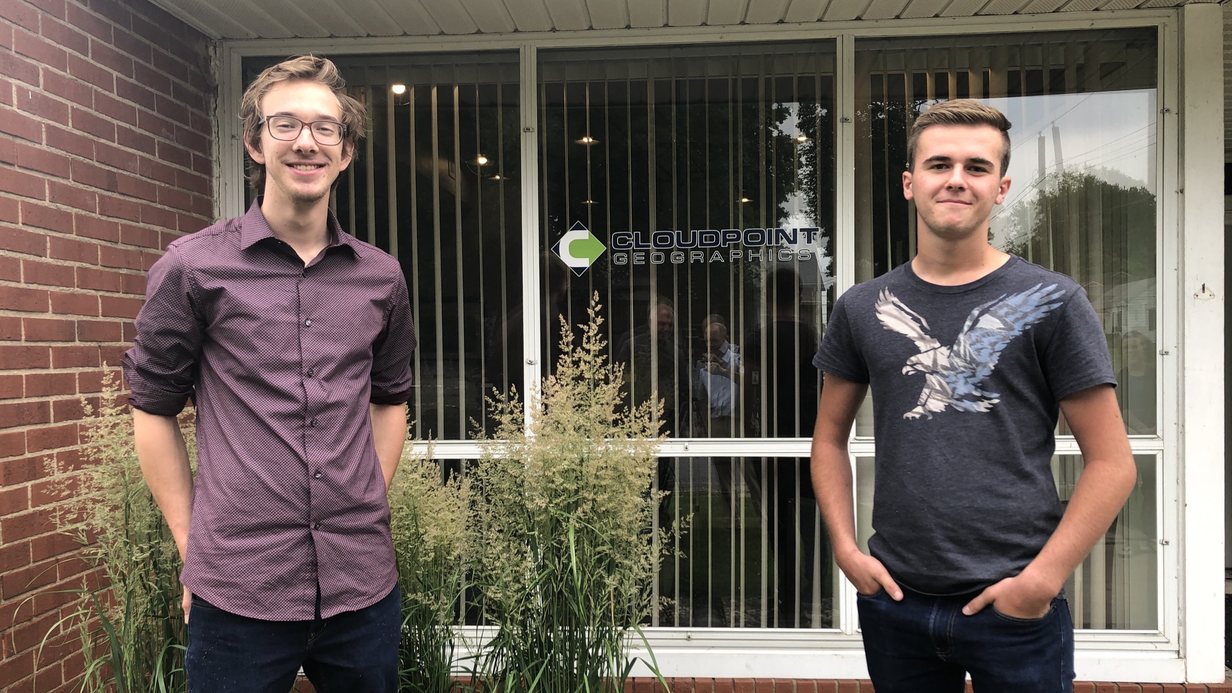
We would like to introduce you to our summer interns:

Titus Williamson

Titus started with us in early May and jumped in without hesitation. He has helped with a culvert inventory (forgot to mention that one) and is actively working on the Springdale Cemetery project. Titus attends Northern Illinois University, is majoring in Environmental Studies and also works as a barista at the Spot in Peoria. And yes, he is related to Micah.

Drew Martin

Drew is a 2018 graduate of Roanoke-Benson High School and just started this week with Cloudpoint. He is just beginning to understand what we are about and is excited to learn GIS. Drew is also currently working through our quality control project of Springdale Cemetery and looks forward to getting into some field work with the data collection portion of the culvert inventory. He currently attends Illinois Central College and will major in Computer Science with the intention to continue his education at Illinois State University. Drew enjoys spending time outdoors doing activities like fishing or golfing or just hanging out with my friends and family.

Welcome Guys!

Titus on the Left, Drew on the Right. (don’t mind the reflection of Micah & Jon in the middle)

Titus on the Left, Drew on the Right. (don’t mind the reflection of Micah & Jon in the middle)

City of Rockwall, Texas gets Parcel Mapping upgrade

Rockwall TX.jpg

Cloudpoint Geographics’ Land Records team will be providing parcel fabric migration services to the City of Rockwall, TX. The City has approximately 18,000 parcels and would like to take advantage of Esri’s most advanced parcel mapping functionality. With the new fabric they can take advantage of Plan Directory, Least Squares Adjustments, Control Points, Historic Parcels layer and more. For more information on how you can benefit from Esri’s parcel fabric please contact Cloudpoint’s Land Records team.

SignOps Celebrates 5 Years!

It was 5 years ago this month, in 2014, that Cloudpoint introduced its first and only asset management application, SignOps, for traffic sign inventories. SignOps was introduced as an innovative, web-based sign inventory management system that will make your team more efficient and your inventory tracking a snap. Since then, public works and transportation crews have been enjoying the SignOps mobile app, which allows users to easily collect GPS location, photos, and even scan barcodes to track maintenance history, retroreflectivity, and sign inspection information. This is just one example of how Cloudpoint Geographics is helping its many clients use location based technology to make informed, data-driven decisions. For more information about SIgnOps sign inventory management system visit cloudpointgeo.com/signopsinfo or call 877-377-8124.


Facts about SignOps

• Over 120 users

• Over 30,000 maintenance activities

• Over 750 pre-loaded sign types

• Scalable, Secured, Performance cloud-based storage

• Unmatched technical support

• Developed and tested with End Users

Here you can find printer friendly versions of our SignOps Brochure or the Signs of Success Case Study


Another EPC Success Story!

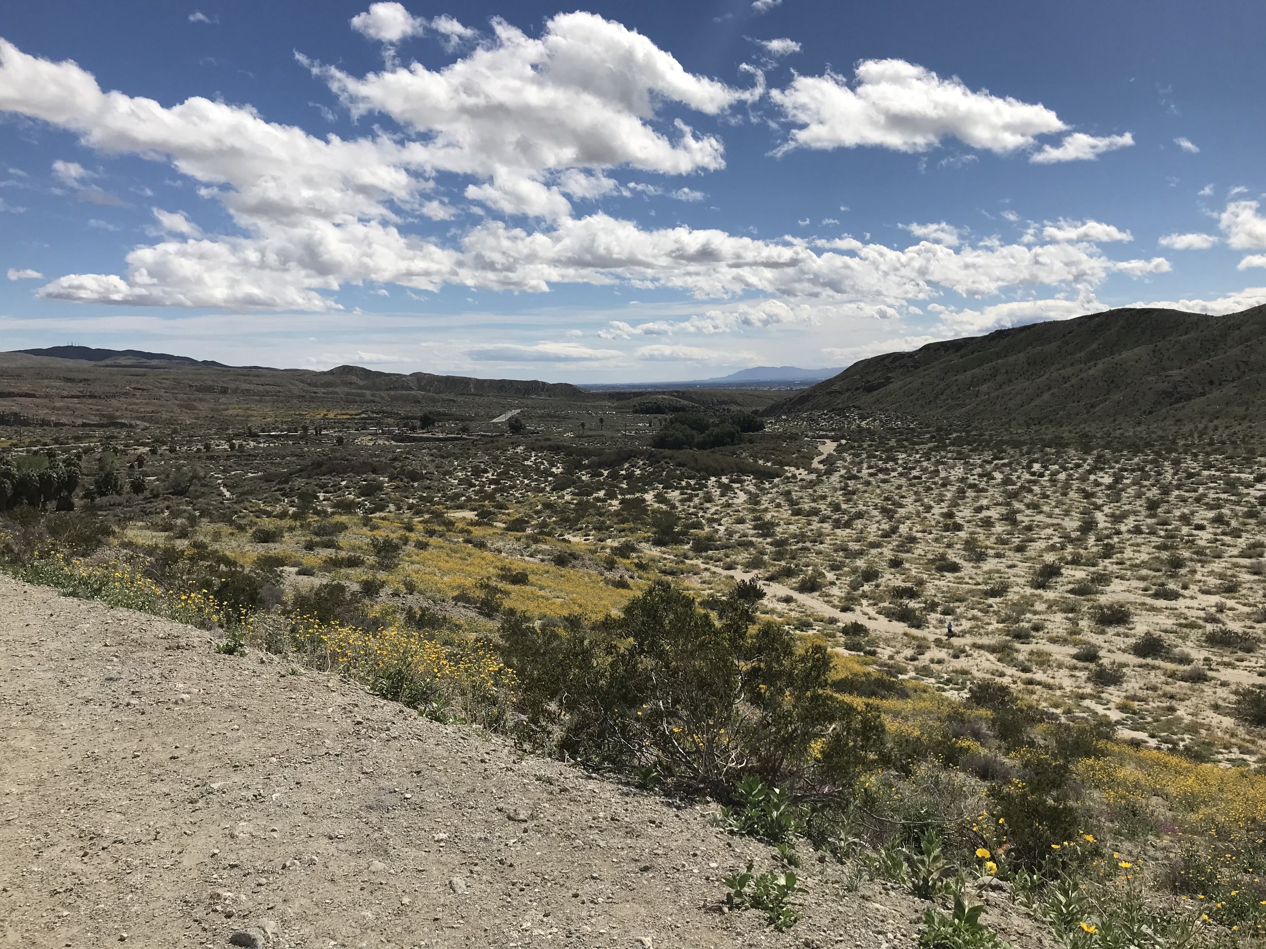
Cloudpoint is proud to be an active part of Esri’s Business Partner network. As part of this network, our leadership team regularly attends Esri’s Partner Conference to keep up with the latest technology from Esri and to help our clients stay current with the best practices in the industry. Here you will find Jon’s highlights of his recent visit to the Esri Partner Conference in beautiful Palm Springs, CA.

V_esriPartnerNet-silver_sRGB_flat.jpg

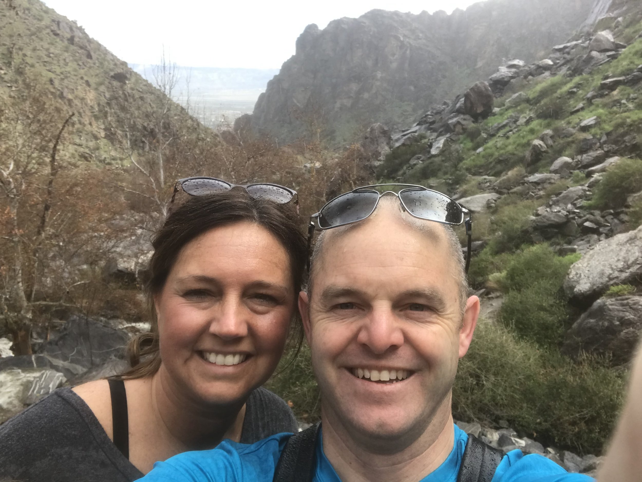
This was my first trip to the partner conference after hearing Micah come back each year and talk about what an amazing event it is. He kept saying “you’ve gotta go” so finally I went. It not only lived up to the expectations but exceeded them. Even more special was the fact that I was able to enjoy some time with my wife, Megan, as we celebrate 20 years together. I will definitely plan to be back to the EPC in the future. Here is a quick summary of some of the highlights of my learning experience.

  1. A Business First Approach

    Too often we try to solve GIS problems by introducing a solution before we actually learn the problem very well. We were encouraged to openly communicate with the Client to learn their problems and pain points first, then find a GIS solution that solves that problem. A good example of this is Cloudpoint’s ability to configure GIS web applications using ArcGIS Online and Esri’s Web App Builder to analyze data, solve problems, drive decision making for our Clients. We listen to them closely and then go to work on solving their problems.

  2. Be Release Ready

    Having release ready solutions and services aligned with the latest version of ArcGIS is a critical part of Esri’s strategic plan for its partners. Cloudpoint sees release ready as being an important part of its future as well. In order to stay aligned with Esri’s direction we will be pursing our certification for release ready services to best serve our customers. Stay tuned for more information on this.

  3. Automate / Integrate: The Future of GIS

    With so many different solutions out there, one of the common questions we get is “how do I get software A, B, or C to talk to my GIS?” Being able to connect the dots by linking GIS system data and feature services with the customer’s existing applications is critical. Sometimes good data really doesn’t come to life until its display by location. Agencies are collecting data at a faster rate than what they can consume it. Creating automated workflows and integrating the links with their data to the GIS can start to give them an advantage in staying ahead of the curve. Lots of historic data is a good thing but connecting it to your GIS maps to drive decisions makes it even more useful.

Cloudpoint Geographics is pleased to be a part of Esri’s partner network and is thankful for the relationships our team has built over the years with both Esri and our clients.