At Cloudpoint Geospatial, we bring years of expertise to organizations seeking robust and efficient management of their Geographic Information Systems (GIS). Our suite of services spans from thorough system evaluations to seamless upgrades, deployments, and managed services. Here’s a closer look at how we can elevate your enterprise GIS operations, whether you prefer on-premise or cloud-based solutions.
Cloudy With A Chance Of AWS
PWX 2021 in St. Louis Recap: Scooters, Bar-be-que, and GIS
Indoors, Utilities, & Parcel Fabric, Oh My!: Esri UC 2021 Recap
Cloudpoint contracts with North Park Public Water District
Dash Through the Snow with ArcGIS Operations Dashboard
Another Virtual Showcase in the Bag
Two New Videos for Remote Workers
Since we are all working at home these days. It makes sense to think that some GIS workers will be trying to connect to their enterprise GIS. If you do not have a VPN or the connection is spotty, you may want to try and connecting to the data through ArcGIS Portal. Micah created two short videos to help with this task. You will need to know your ArcGIS Portal home URL, a username and licensed copy of ArcGIS Pro.
This next video shows you how to connect ArcGIS Pro to open and public REST endpoints. This will enable you to add published data to your map regardless of the source.
If you need to know where to find REST endpoints check out this BLOG post from a few months back.
Cloudpoint Now Offering Services Living up to its namesake
It’s rather interesting, some of the comments we get about the name of our company when people are first introduced to us. They say “Cloudpoint, hmm, is that some kind of cloud-based service, do you work with point clouds, etc.?” As company founder Jonathan Hodel notes, “when we started up in 2011, my wife, Megan and I were discussing several options for names and wanted something that spoke to the technology we are using. As a geospatial company, I knew point clouds were a key part of the services we were offering but at the same time ‘the cloud’ was becoming a popular way to store, manage, and process data.” Proof of this can be found in the fact that company adopted use of the cloud as a way of doing business right from the start.
Using file storage services like Dropbox and Google Drive, then in 2012 becoming an Esri Business Partner and launching its first ArcGIS Server environment in a completely cloud-hosted environment on Amazon’s AWS platform, Cloudpoint is putting its money where its name is. Hodel states, “I like to be able to tell people we’ve never actually ‘owned’ a server and have never had a box in the back room”. At first hearing this, you might think they’ve saved tons of money on hardware and networking costs over the years, however that’s not necessarily the case as the company has invested almost $50,000 in AWS services alone between Elastic Compute Cloud (Amazon EC2’s), S3 storage, and Workspaces. Now the company uses multiple AWS EC2 servers for tasks such as testing and deployment of new ArcGIS Enterprise software packages, project work needing multi-editor environments, and even staging environments for new applications such as Esri’s ArcGIS Indoors.
Now the company is excited to announce its latest service offering of cloud-hosted GIS architecture for organizations looking to migrate their GIS network into a secured cloud environment. Customers can even pair this offering with Cloudpoint’s managed services to have a complete, turn-key Enterprise GIS solution allowing them to focus on their end-user applications and workflows. With this approach, Cloudpoint will launch, deploy, and maintain your complete GIS server architecture in Amazon’s AWS cloud environment giving you as much or as little involvement as you prefer. Yes, that’s right, no need to worry about future server upgrades, monitoring logs, or up-time statistics. Isn’t it time to be done with ‘boxes in the back room’? Contact their professional services or call 877-377-8124 for a brief consultation to see if migrating to the cloud is right for you.
Cloudpoint Event Recap: Morton Showcase 2019
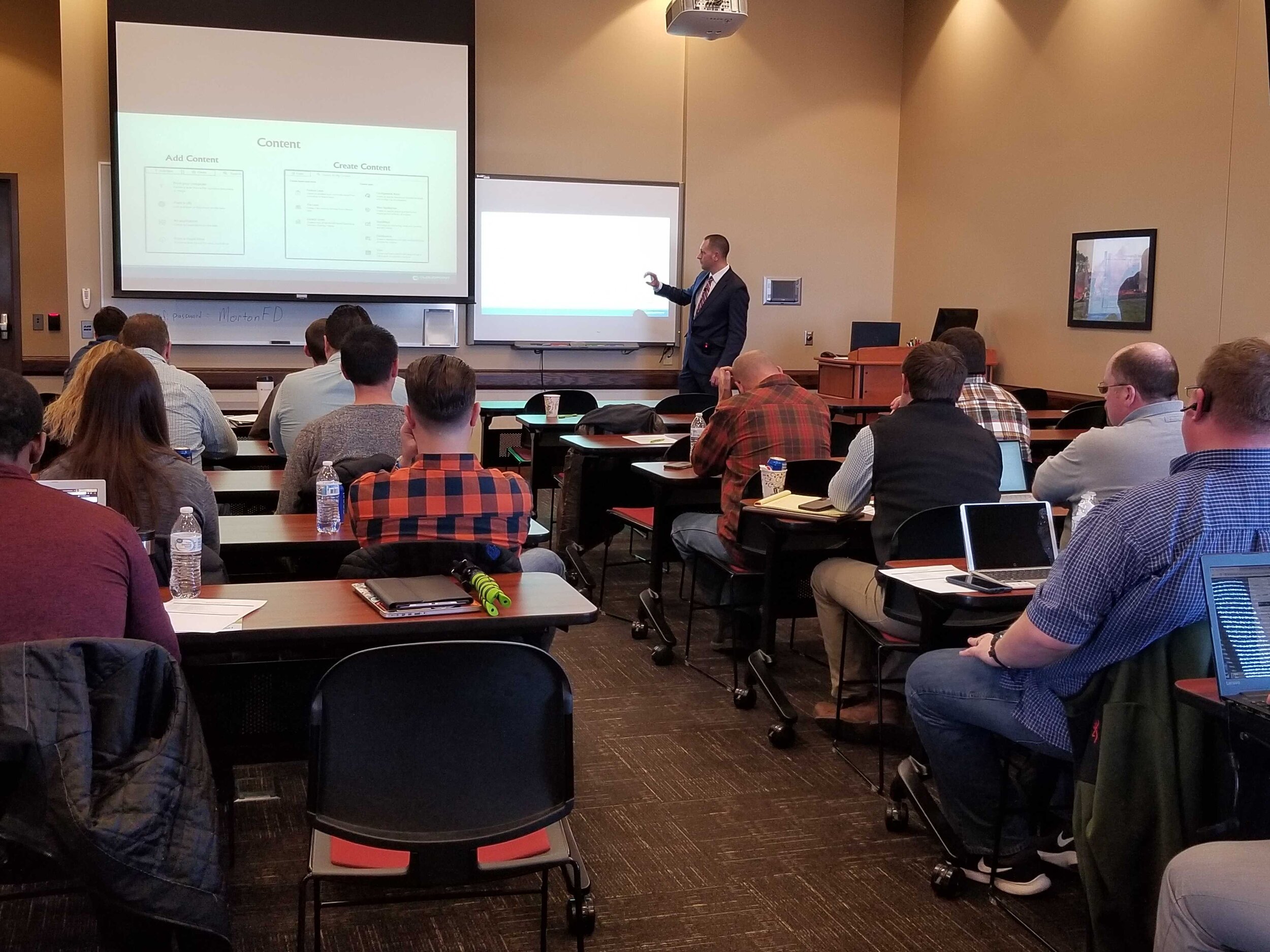
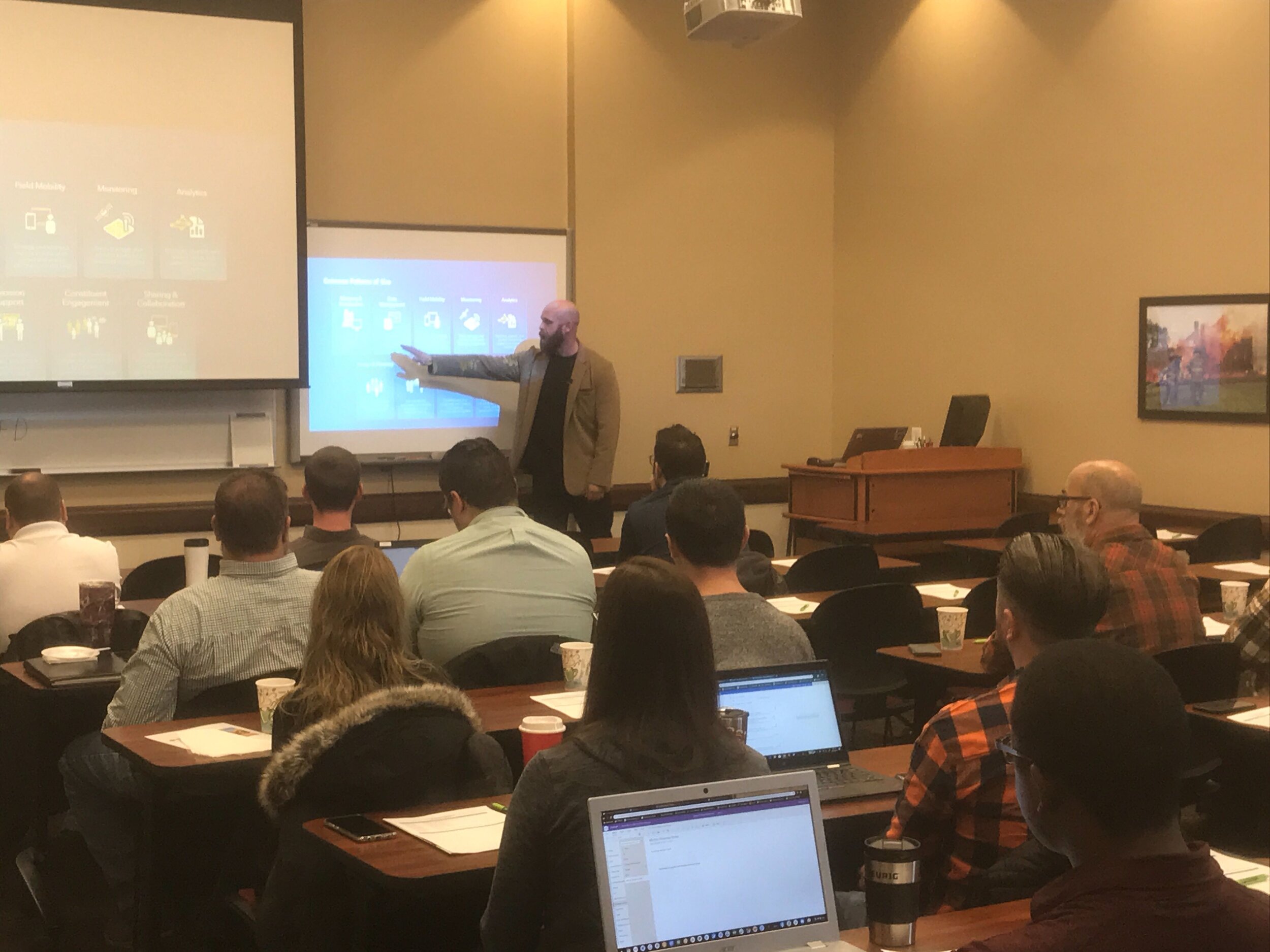
Last Friday we had the opportunity to once again gather with local government professionals throughout the Central Illinois area for the ArcGIS Solutions Showcase. Attendees traveled from as far as Galesburg , Watseka, Ottawa, and Decatur to learn about the latest solutions from Esri and pickup on some training tips for ArcGIS Online, Indoors, Hub, Dashboards, and Pro. Below are a few photos of the event. Videos of the showcase are coming soon on our Youtube Channel! This was the first time this event was captured in video recordings so please be sure to check those out in case you missed the live event. Special thanks to Mitchell Winiecki from Esri for getting the creative thinking juices flowing, and guest speaker, Glen Wetterow, GIS Coordinator for the City of East Peoria for presenting on new ways their organization is using GIS technology. To find out more about past or future showcase events visit: https://www.cloudpointgeo.com/showcaseevents


