

We are thrilled to announce our latest client: North Park Public Water District (NPPWD). While Cloudpoint has worked with innumerable clients with their water utilities…
Keeping Up With Cloudpoint
“It’s not about ideas. It’s about making ideas happen.” - Scott Belsky
Cloudpoint Geographics is excited to announce another UAV drone mapping project that is in the works. We will be collecting data at Cog Hill Golf Course in Lemont, IL. Some of you golfers out there are familiar with Cog Hill, but for you other folks, Cog Hill is comprised of 4 separate courses and has hosted numerous Professional Golf Association events including 16 Western Opens and 4 BMW Championships. We will be collecting ground control points and high resolution imagery that allows us to create 3D mapping for various applications. This is the 2nd golf course that we have flown and we're pretty certain it won't be the last! It's a good thing we're mapping the golf course, because that's what we do. If we were golfing at Cog Hill, there'd be several lost balls and more than a few announcements of "FORE!"
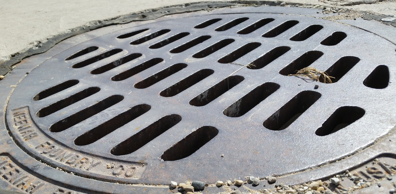
We are excited for the opportunity to work with the City of Mendota, IL (The World's Greatest Little City as noted on their hompage) on implementing a city-wide utility GIS. The City has contracted Cloudpoint to collect all utility assets with high-accuracy GPS and create maps of each distribution system. The project includes water distribution, storm water network, and sanitary system. This information will serve as the foundation of the City's future CMOM (Capacity, Management Operation and Maintenance) plan as required by the U.S. Environmental Protection Agency (EPA). In its simplest form, the CMOM is used for monitoring the operation of sanitary sewers to prevent overloading of waste treatment plants and the overflow prevention of sewage into lakes and streams.
Crews will be using a Trimble Geo XH 6000 for data collection and syncing the data with esri's ArcGIS Desktop software. Upon completion the city will have a fully functional GIS system for their entire utility network. The majority of the project is expected to be completed by the end of 2015.