
Cloudpoint's Erin Strickler was able to attend the Esri User Conference, the world's largest GIS conference, in San Diego for the first time this year. This is the fifth time that the Cloudpoint team has been represented at the conference where over 17,000 people gather to hear the latest GIS news and enjoy thousands of hours of one-on-one networking, collaboration, and fun with fellow attendees. Erin shares some of her highlights of attending this year's conference in this blog.
Erin Strickler Joins the Cloudpoint Team
Cloudpoint Geographics is pleased to welcome Erin Strickler to our staff! Erin is a 2003 graduate of Bradley University's civil engineering program and earned her professional engineer's license in April of 2017. She comes with a strong background in engineering, surveying, and local governments and...
Cloudpoint Aerial Maps Cog Hill Golf Course
Cloudpoint Geographics is excited to announce another UAV drone mapping project that is in the works. We will be collecting data at Cog Hill Golf Course in Lemont, IL. Some of you golfers out there are familiar with Cog Hill, but for you other folks, Cog Hill is comprised of 4 separate courses and has hosted numerous Professional Golf Association events including 16 Western Opens and 4 BMW Championships. We will be collecting ground control points and high resolution imagery that allows us to create 3D mapping for various applications. This is the 2nd golf course that we have flown and we're pretty certain it won't be the last! It's a good thing we're mapping the golf course, because that's what we do. If we were golfing at Cog Hill, there'd be several lost balls and more than a few announcements of "FORE!"
Watercon Pre-Conference Video
We'll See You In Wisconsin!
Reason to Celebrate: 5 years and growing!
Roanoke, IL- Cloudpoint Geographics recently celebrated its 5-year anniversary on August 25, 2016. We've come a long way from back in the day with a one room office borrowed from the local realtor and an old Lenovo laptop (which we still have in our possession now bearing the label Cloudpoint-LAP 1).
Stephenson earns GISP certificate
Congratulations to Cloudpoint's, Paul Stephenson, for becoming the team's latest certified GIS Professional (GISP). Paul was one of the very first people to sit for the newly established GISP examination through the GIS Certification Institute (GISCI) which he took last November. With his professionalism and outstanding work ethic it was no surprise that he passed with flying colors. Obtaining a GISP certificate involves an extensive application process which now includes the exam requirement. With Paul's achievements, he joins Jon & Micah bringing the total number of GISP certified staff members at Cloudpoint to three. The following are some notes highlighting what makes a certified GISP:

Pictured are Paul Stephenson (left) and Jon Hodel (right) with Paul's new GISP certification
- Certified Geographic Information Systems (GIS) Professional endorsed by a 3rd party (GISCI) though a peer-reviewed evaluation.
- Has met the minimum standards for educational achievement, professional experience, and manner in which he or she contributes back to the profession, and practices in an ethical manner.
- Must abide by higher guidelines for ethical behavior.
- Continues to educate and reeducate him or herself while preparing for recertification.
- Has had their professional background scrutinized and reviewed by an independent third party organization. An Institute comprised of leading non-profit associations (AAG, NSGIC, UCGIS, GITA, URISA, and GLIS) focused on the application of GIS and geospatial technology.
- Can come from anywhere in the world, and current, active GISPs reside in all 50 States and 25 foreign countries.
- Is more than a practitioner of GIS technology.
- Is a Professional.
Well done Paul!
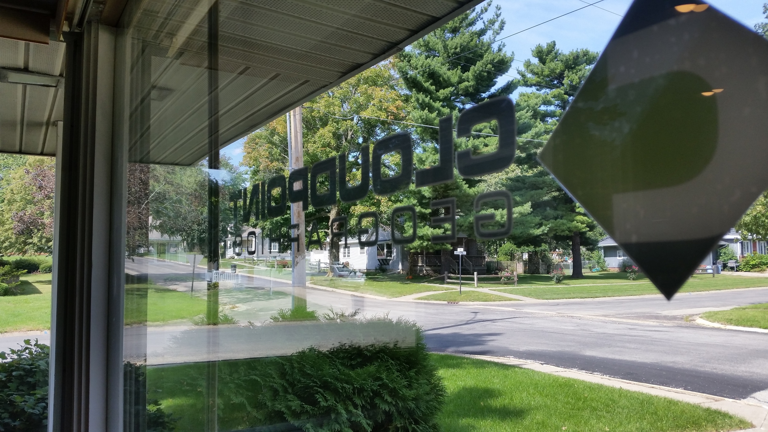
Open wide..... We've Moved!

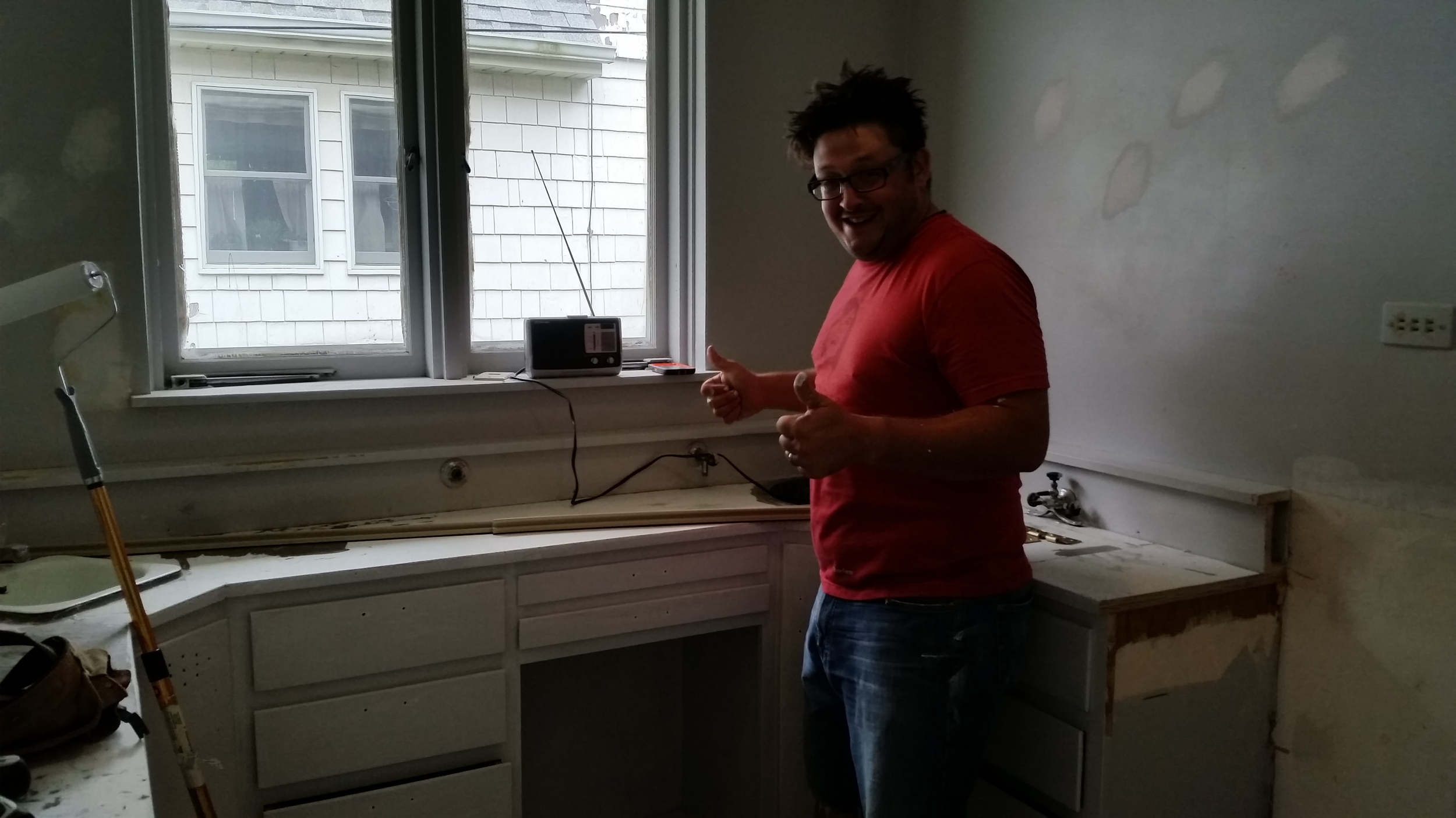
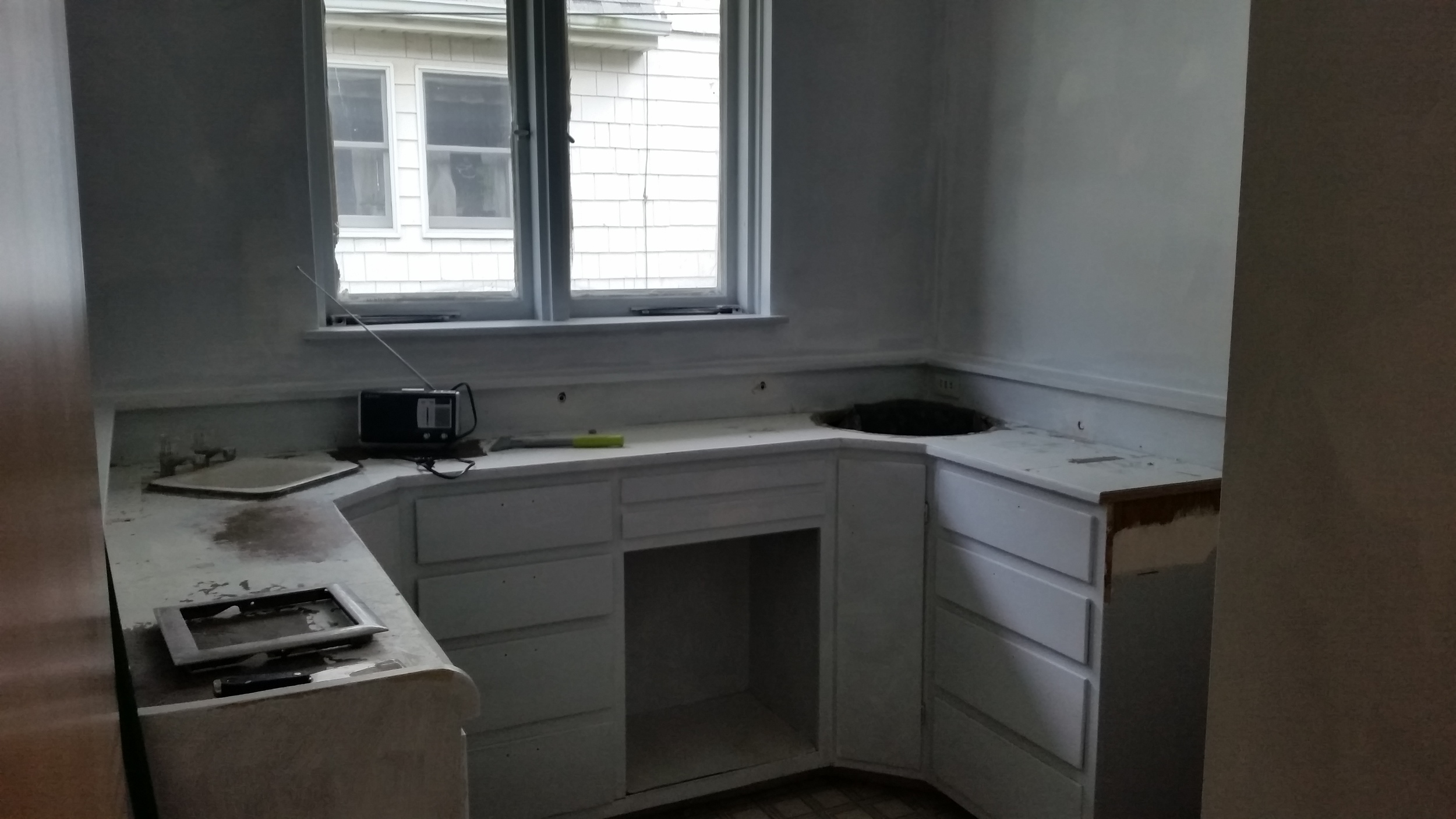
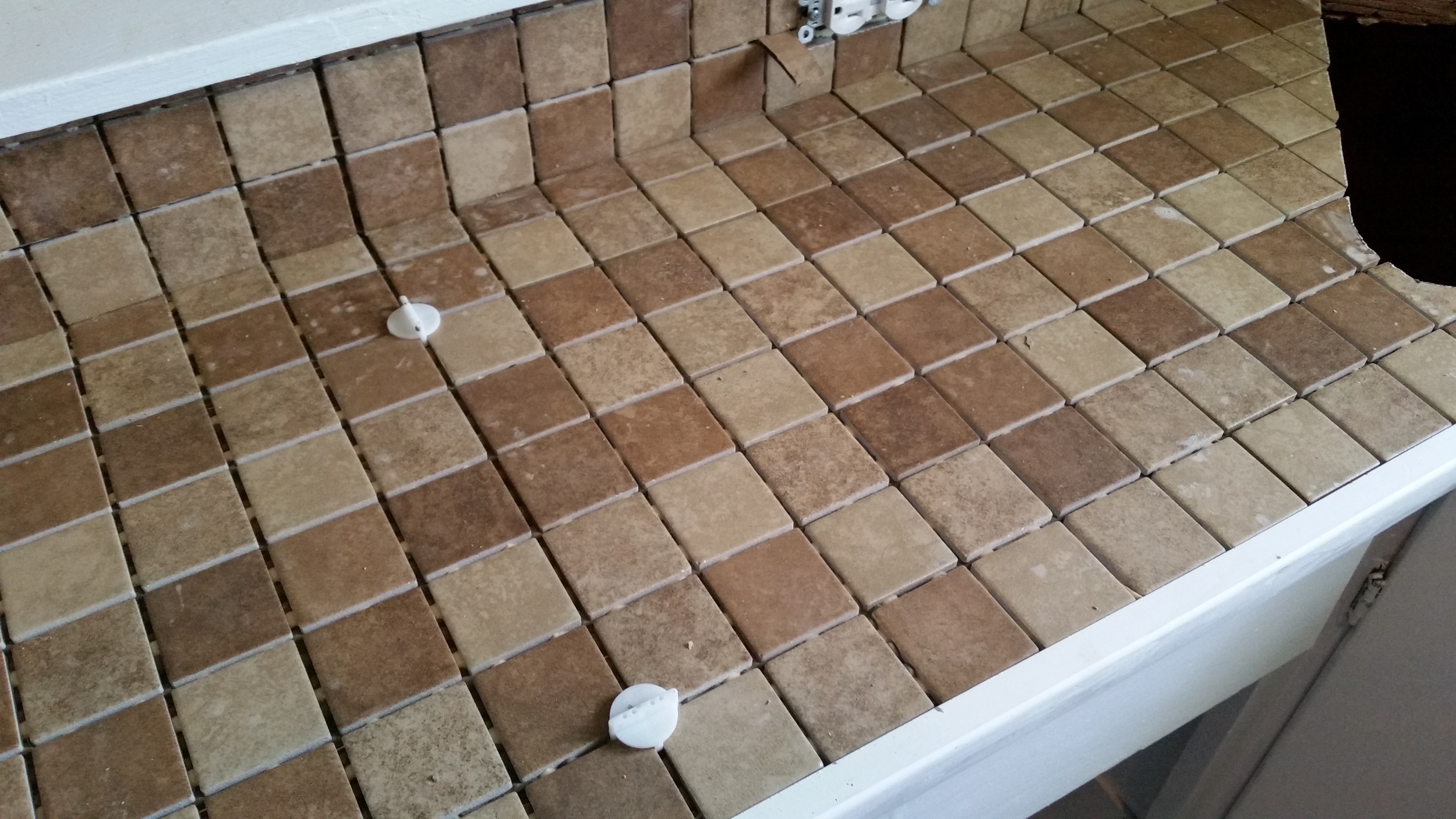
Growing up, I had a mouth full of cavities and now have plenty of fillings to show for it. Little did I know at that time (back when I though I wanted to be a fireman) I would soon be making a living by working in that same building where I would go for routine checkups and teeth cleaning. No, didn't go in to dentistry (although if you stop by we could take a look at your teeth but I wouldn't trust our diagnosis). We recently purchased the former dentist office in Roanoke where just a few short months ago people were getting crowns and caps, now it is used for drones, ipads and desktop PC's. We are excited to make it our new home here at Cloudpoint Geographics.
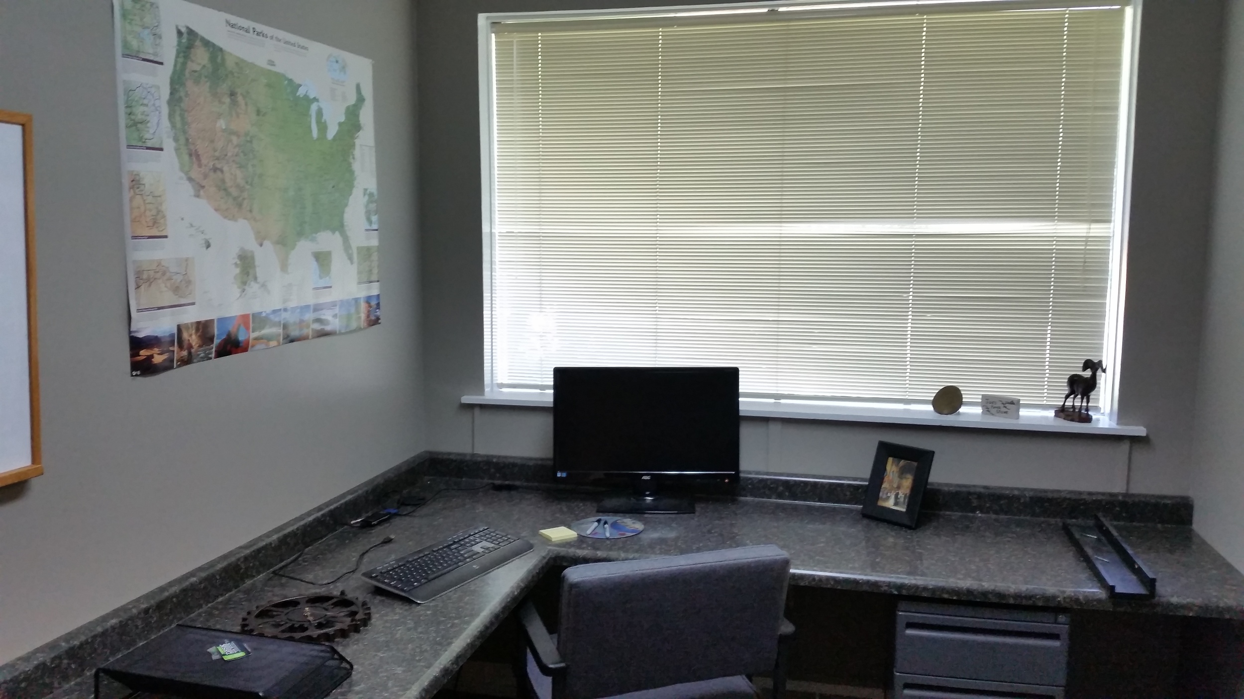
Ten (10) weeks of renovations consisted of ripping our old sinks and X-ray boxes, hoses, lines, excess wiring, tons of painting, new carpet, and best of all- the lighting. We converted an old lab into a kitchen, and exam rooms are now functioning as high-tech office space. The large window view that so many of us distracted ourselves with while a hygienist scraped on our jowls, is now enjoyed by our staff as each person has their own private office.

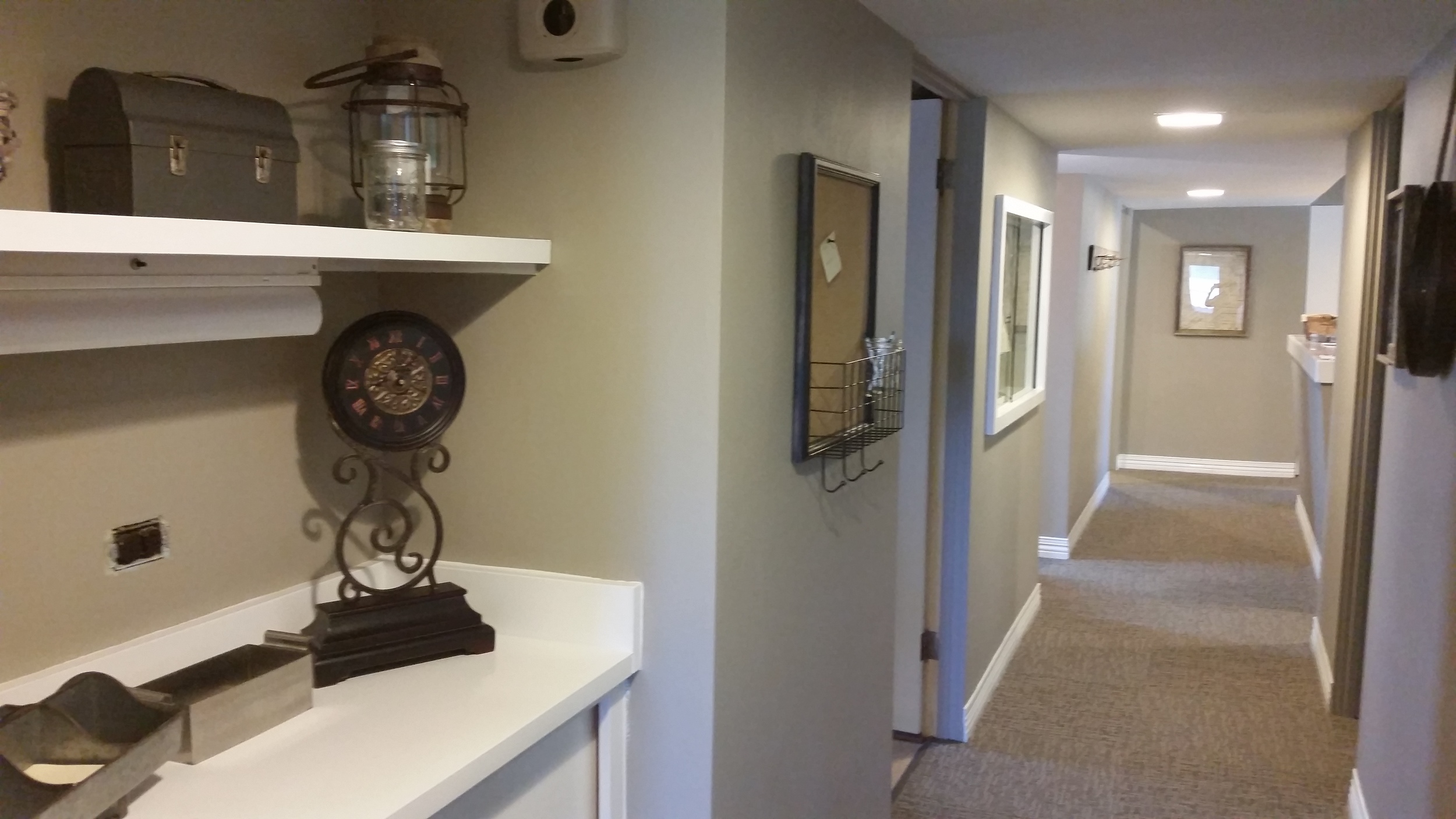

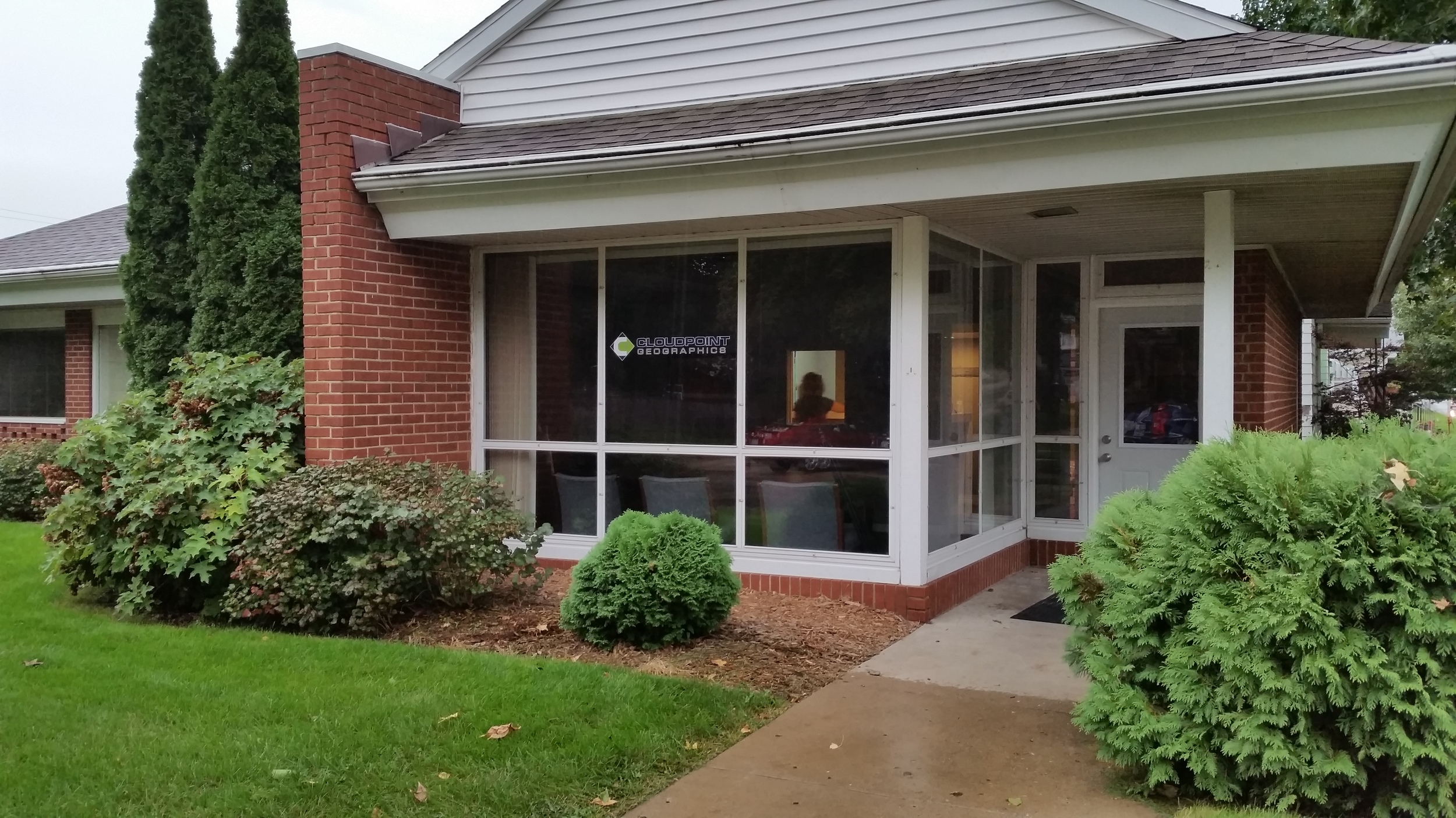

We are blessed to have a new spot that so perfectly fits our current needs and the move was just across the parking lot from our old location. Be sure to come by and visit us during our upcoming Open House on October 2nd from 4PM to 6PM.
Coming to an Office near you!
Here's an update as to what's going on at Cloudpoint Geographics.
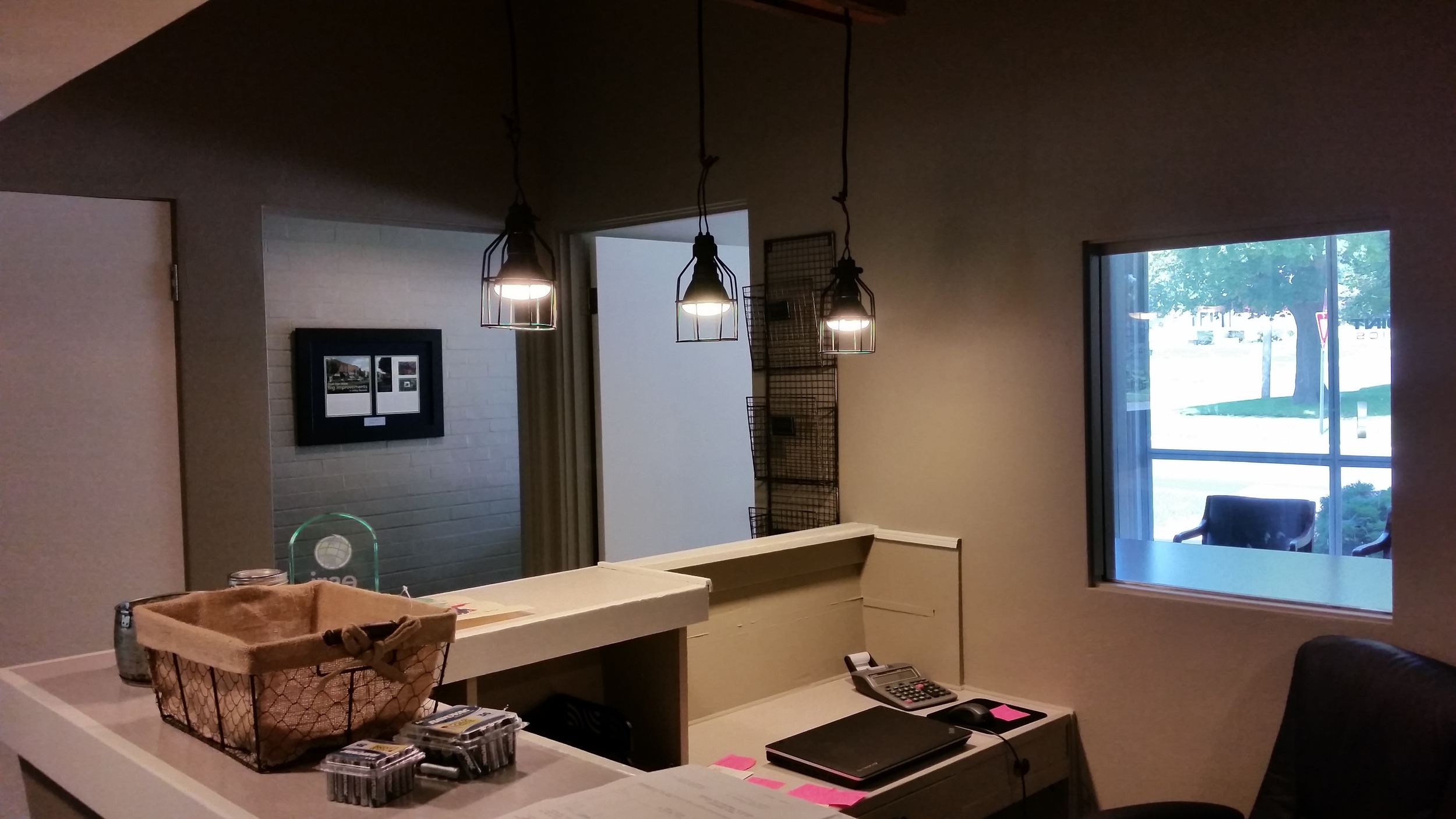
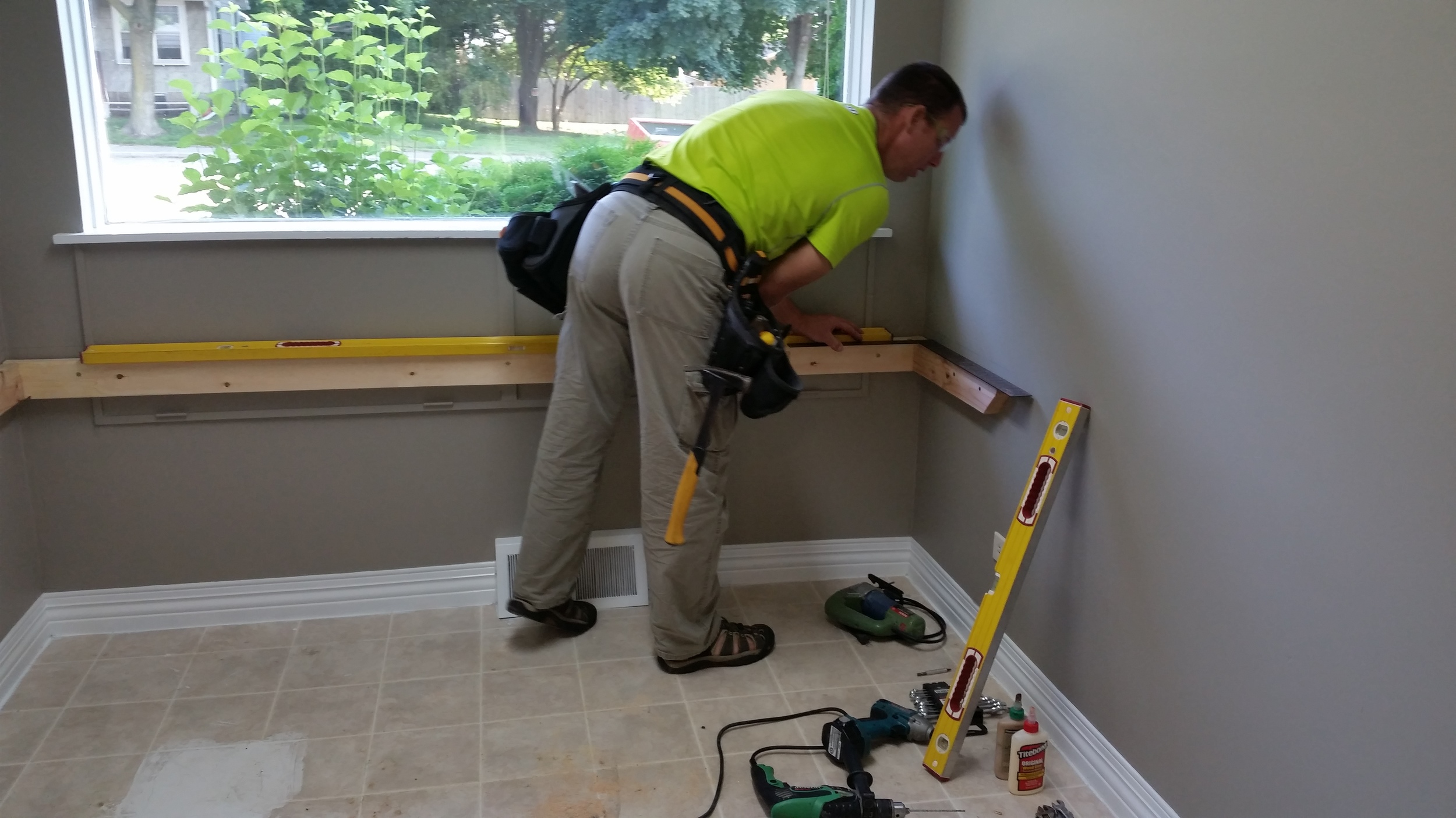
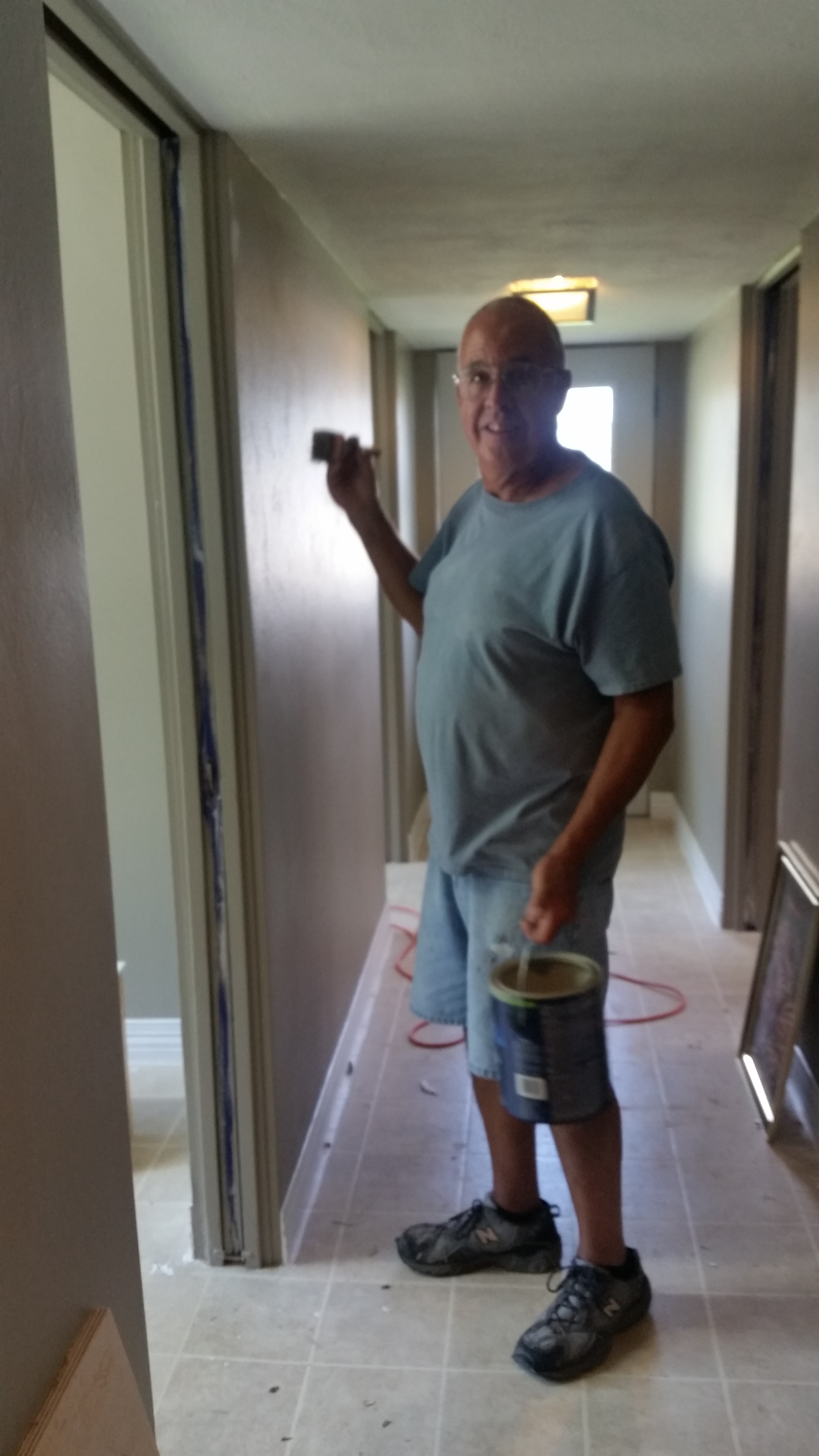
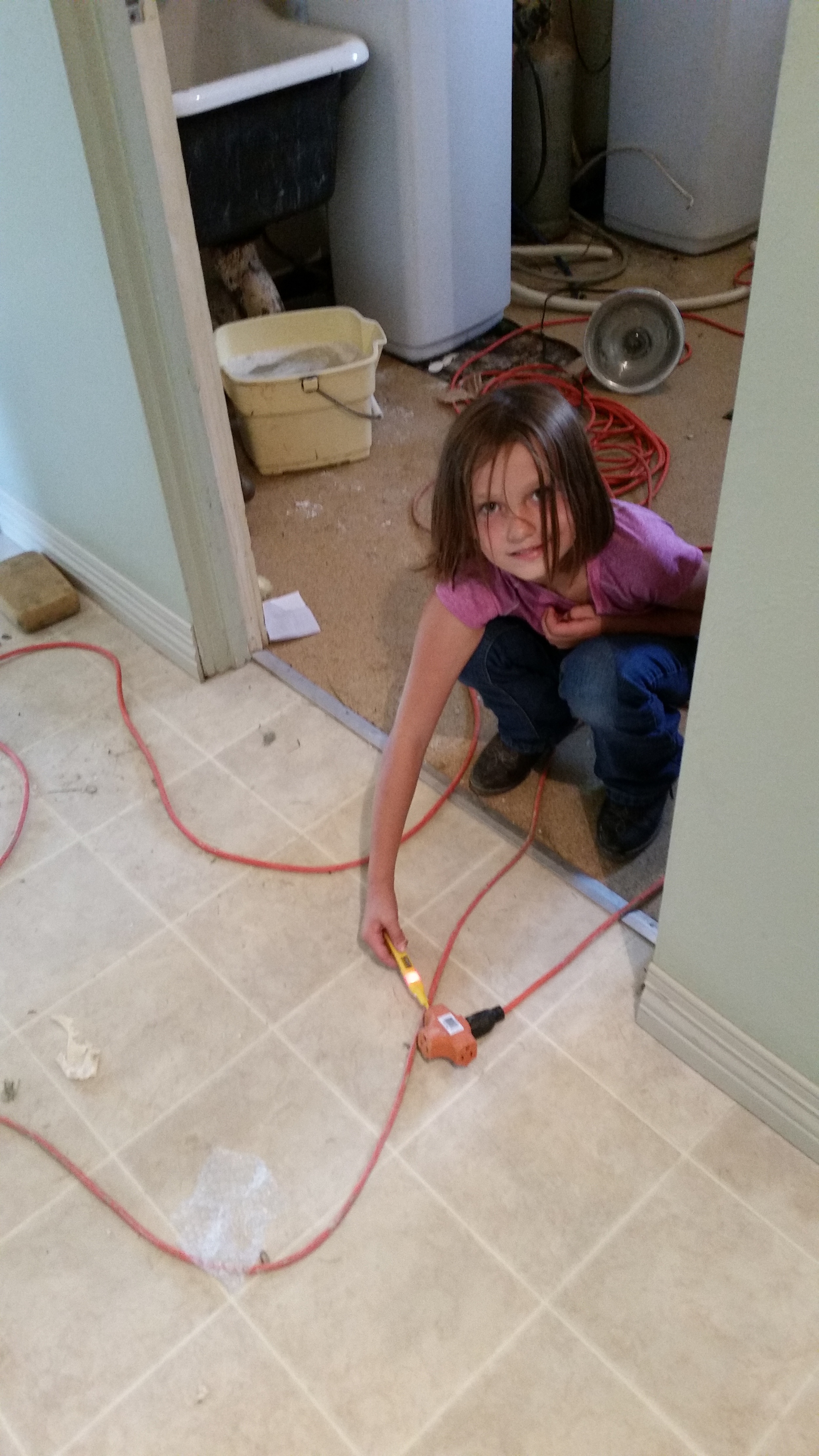
Office Remodel:
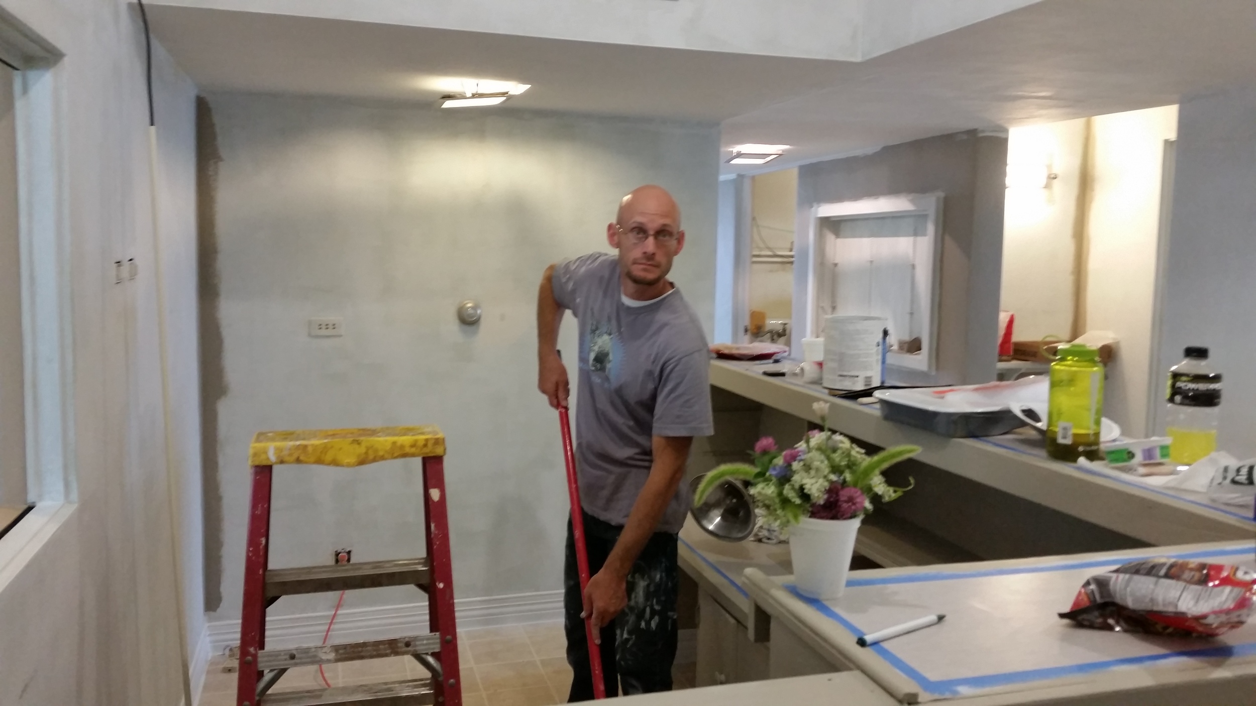
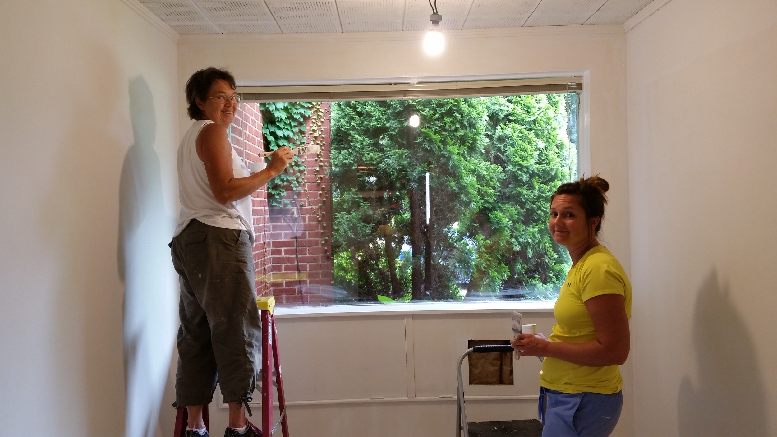
I've had some people say they heard we were moving a while back but nothing since then. We are deep into the remodel project and can see light at the end of the tunnel. Here are some quick snapshots of the work being done.


employee spotlight:
Our new office manager, Jodi Hoffman, has been doing an awesome job. Outside of work, Jodi keeps track of three fine young boys (four if you count husband Eric) and keeps things rolling smoothly at home and in the office. We are thankful to have her on our team.

ILGISA Conference 2015:

We are heading to the ILGISA conference in Springfield, IL very soon. Hoping to get moved in to the new office just before that. Be sure to stop by our booth and say hello to our team. We will all be there!
Also Cloudpoint will be sponsoring the new Monday night social so don't miss out on the fun.
CLOUDPOINT GEOGRAPHICS TAKES TO THE SKIES
Cloudpoint Geographics forms strategic partnership with Kovar & Associates, LLC to offer aerial mapping services using drones
Roanoke, IL, February 15, 2015– Cloudpoint Geographics is pleased to announce a partnership with Kovar & Associates LLC to offer professional aerial mapping services with UAV's (drones). Mr. Kovar is a licensed fixed wing and rotorcraft pilot and specialized cyber-security consultant. He has been involved in disaster response and search and rescue for over 15 years and has a passionate interest in mapping and imagery due to this experience.
“This strategic partnership positions us for an early entrance into a brand new market that will dramatically expand our geospatial offerings throughout the state of Illinois and the Midwest region.” says Cloudpoint president, Jonathan Hodel
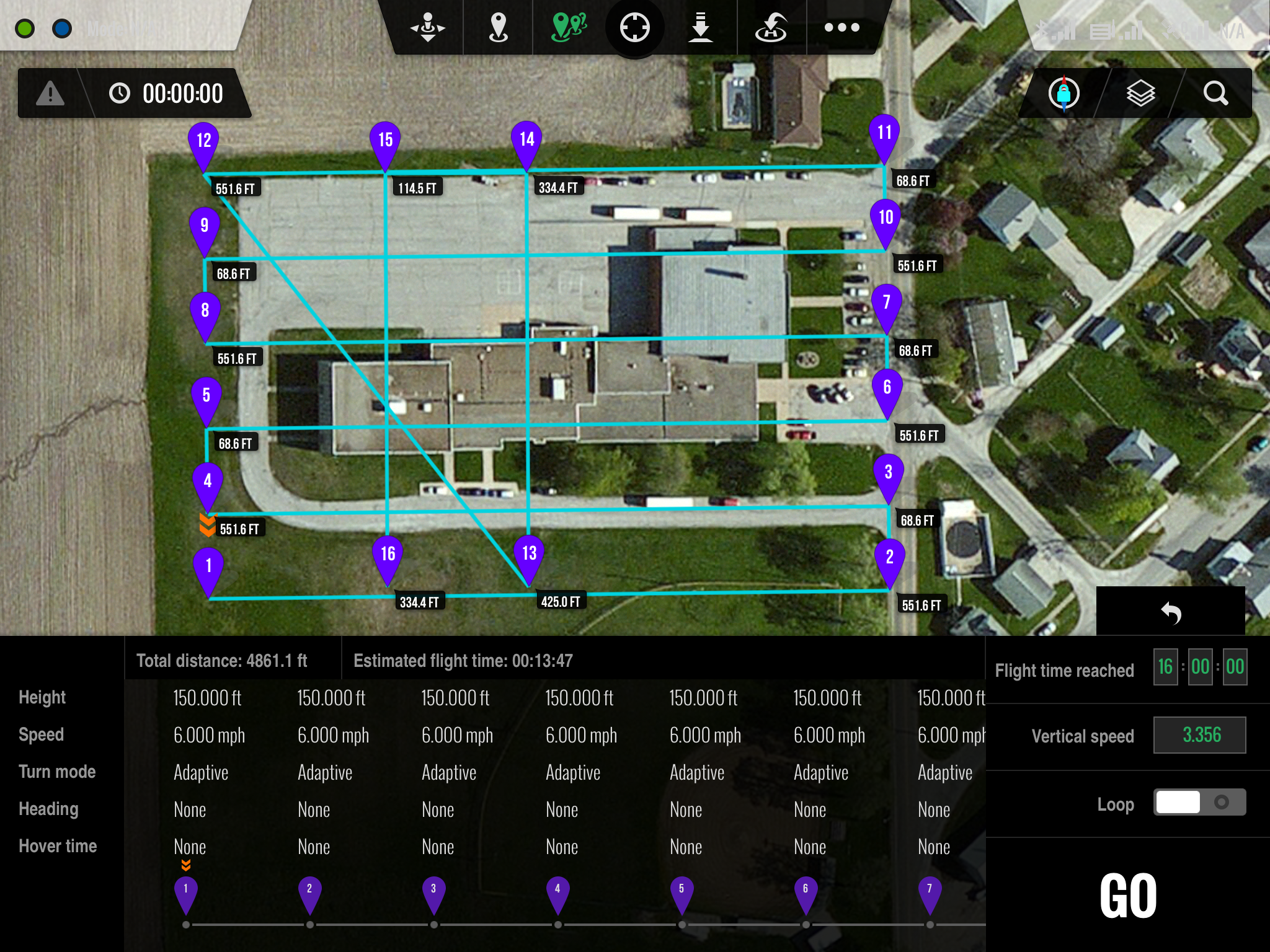
Ground Station iPad interface
The Cloudpoint / Kovar team has submitted a request for an exemption with the FAA to allow for commercial drone operation for aerial mapping. The approval process is anticipated to take several months however these firms are committed to establishing a safe and effective program for using this technology. The FAA is currently in the process of developing regulations for commercial use of drones in many different applications.
Cloudpoint is a dynamic geospatial solutions consulting firm providing mapping and GIS services for a variety of clients.