

Cloudpoint closed out 2022 by applying for and receiving the State and Local Government Specialty designation from Esri. Esri business partners that apply for this specialty go through…
Keeping Up With Cloudpoint
“It’s not about ideas. It’s about making ideas happen.” - Scott Belsky
Cloudpoint is pleased to partner with surveying and engineering firms to bring GIS to these firms’ small municipal clients. Recently Brown & Roberts Inc. and Benton & Associates contracted Cloudpoint to provide GIS services to the City of Harrisburg, IL and…
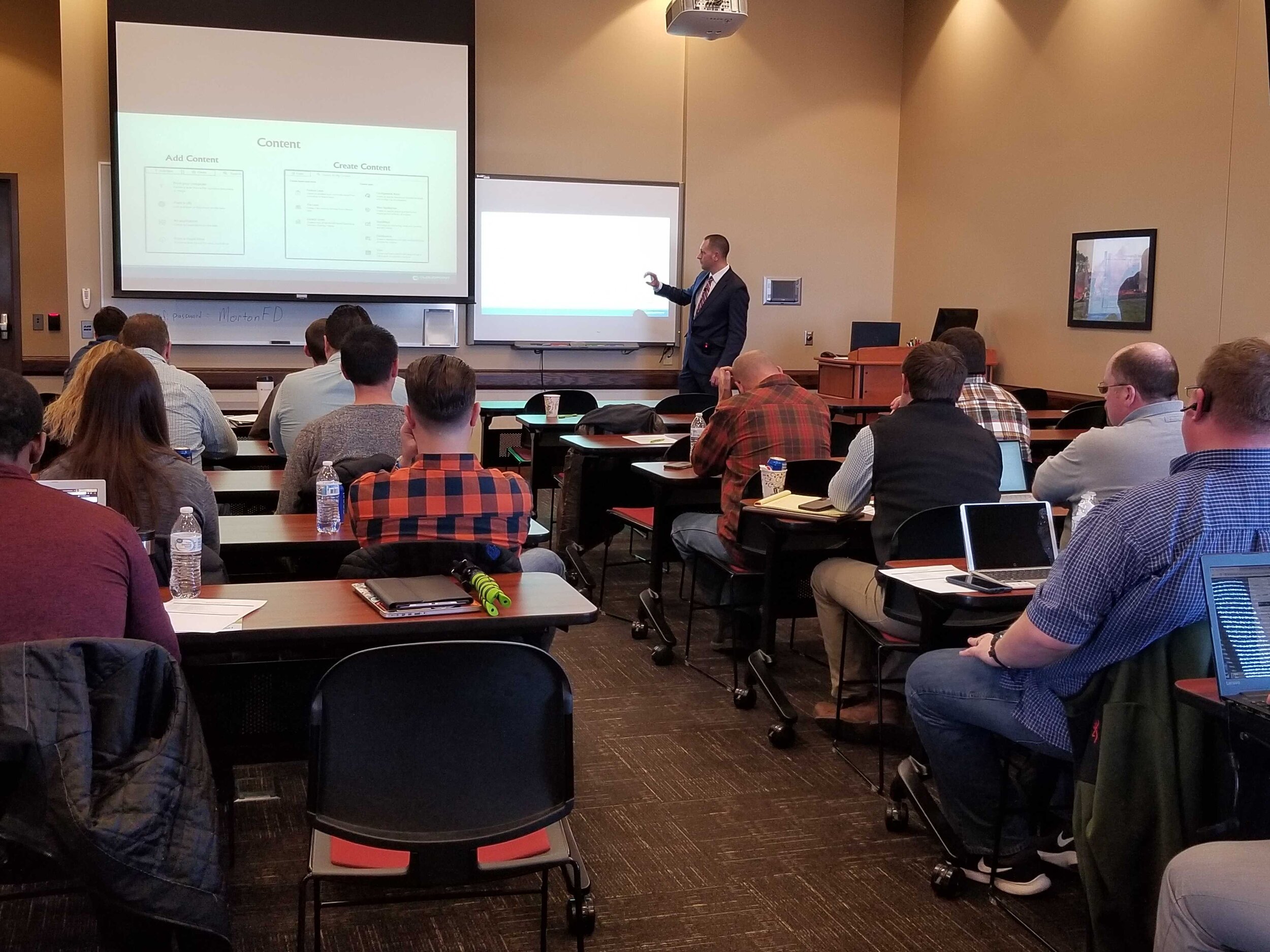
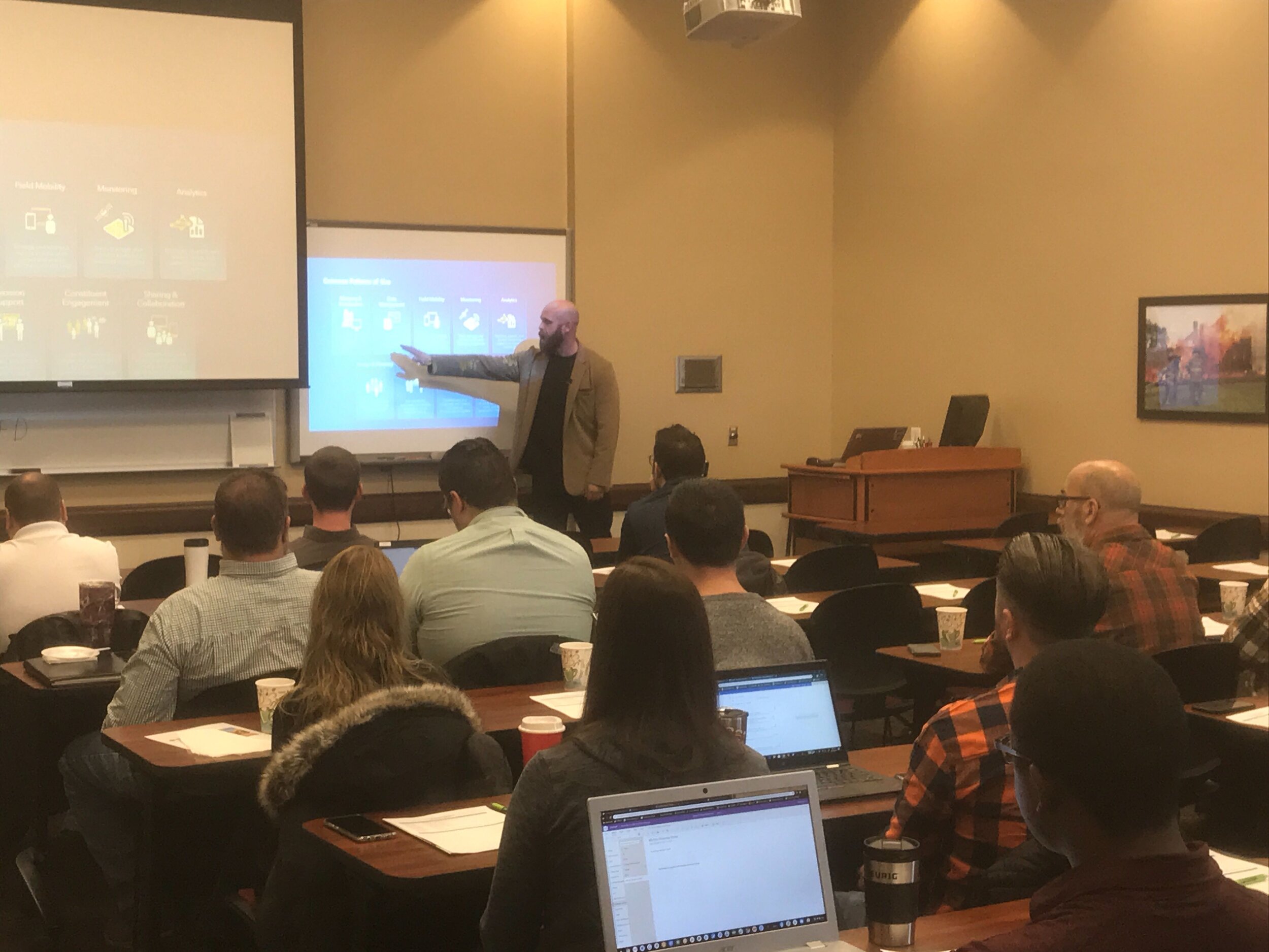
Last Friday we had the opportunity to once again gather with local government professionals throughout the Central Illinois area for the ArcGIS Solutions Showcase. Attendees traveled from as far as Galesburg , Watseka, Ottawa, and Decatur to learn about the latest solutions from Esri and pickup on some training tips for ArcGIS Online, Indoors, Hub, Dashboards, and Pro. Below are a few photos of the event. Videos of the showcase are coming soon on our Youtube Channel! This was the first time this event was captured in video recordings so please be sure to check those out in case you missed the live event. Special thanks to Mitchell Winiecki from Esri for getting the creative thinking juices flowing, and guest speaker, Glen Wetterow, GIS Coordinator for the City of East Peoria for presenting on new ways their organization is using GIS technology. To find out more about past or future showcase events visit: https://www.cloudpointgeo.com/showcaseevents


When Scott County, Iowa had a recent opportunity to secure grant funding to provide GIS data cleanup for NG9-1-1 they took full advantage and contract with Cloudpoint to compete this work. The project had a very tight time frame being completed in less than 60 days. This work involved cleanup of Emergency Service boundaries in the GIS, as well as repairing road centerline geometry, correcting road centerline address ranges, directional errors in digitize roadway directions, and reviewing site address data points that fell out of range with the centerlines. Cloudpoint was able to complete this cleanup work using tools including curves-to-lines in ArcGIS Pro, creating topologies, and using the 'Align To Shape' tool for aligning emergency services boundaries with road centerlines and administrative or political boundaries where applicable. Overall the project involved a over of 88,000 address points and more than 2,300 centerline miles. Cloudpoint continues to provide high quality GIS data services for state and local governments throughout the Midwest. For more information contact our office at 877-377-8124.
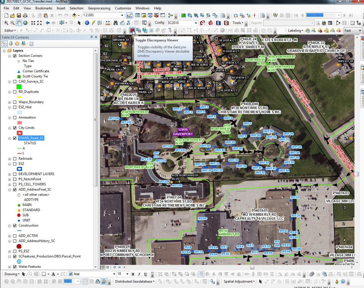
A screenshot of address points, road centerlines, and emergency services boundaries requiring review and data cleanup for improving emergency response and dispatch for NG9-1-1 services in Scott County, IA.

Burr Ridge is home to over 500 businesses occupying more than 6 million square feet of floor area and employing 10,000 plus people.
The Village of Burr Ridge has contracted with Cloudpoint Geographics to provide complete managed GIS services. Cloudpoint's professional staff will act as an extension to the Village's internal staff when it comes to GIS needs and communicating with its constituents. Here are some resources that the Client will soon be able to take advantage thanks to this newly formed partnership.
Village staff had the foresight to see that a centralized GIS can be a "single source of truth" for both internal and external users to access critical information to help drive decision making processes. The Cloudpoint team will be working closely with the finance director, assistant administrator, public works officials, and IT staff to remotely connecting to the Village's network to perform GIS upgrades and rolling out new applications for the system as well as providing regular training for their staff. For more information on how your agency can take advantage of our affordable GIS services you can contact us through our website or call 877-377-8124.
Do you know the quality of your address data in your GIS? Did you also know that the accuracy of this data is of critical importance for the future of NG9-1-1? As an Esri business partner, Cloudpoint Geographics understands the value of ArcGIS Solutions for Local Government, including address data management, and has been implementing these solutions for several years. Our professional staff has the ability to review the quality of your road centerline address ranges, as well as a review of your road names in accordance with standards from the USPS to provide you with a rating score on the quality of your data. In addition they will make recommended updates and provide a cost estimate associated with such updates. The following are just a few solutions powered by Esri's Local Government that the Cloudpoint team can implement for you:

Our local government experience in building GIS solutions on the Esri platform helps us offer value-added services to agencies needing a professional solution in a timely manner. Don't wait for Next Generation 9-1-1 to come to you, make the effort to be prepared. For more information on pricing contact us at 877-377-8124 or submit below.


