ArcGIS

Cloudpoint Now Offering Services Living up to its namesake

It’s rather interesting, some of the comments we get about the name of our company when people are first introduced to us. They say “Cloudpoint, hmm, is that some kind of cloud-based service, do you work with point clouds, etc.?” As company founder Jonathan Hodel notes, “when we started up in 2011, my wife, Megan and I were discussing several options for names and wanted something that spoke to the technology we are using. As a geospatial company, I knew point clouds were a key part of the services we were offering but at the same time ‘the cloud’ was becoming a popular way to store, manage, and process data.” Proof of this can be found in the fact that company adopted use of the cloud as a way of doing business right from the start.

Screen Shot 2020-04-01 at 1.14.39 PM.png

Using file storage services like Dropbox and Google Drive, then in 2012 becoming an Esri Business Partner and launching its first ArcGIS Server environment in a completely cloud-hosted environment on Amazon’s AWS platform, Cloudpoint is putting its money where its name is. Hodel states, “I like to be able to tell people we’ve never actually ‘owned’ a server and have never had a box in the back room”. At first hearing this, you might think they’ve saved tons of money on hardware and networking costs over the years, however that’s not necessarily the case as the company has invested almost $50,000 in AWS services alone between Elastic Compute Cloud (Amazon EC2’s), S3 storage, and Workspaces. Now the company uses multiple AWS EC2 servers for tasks such as testing and deployment of new ArcGIS Enterprise software packages, project work needing multi-editor environments, and even staging environments for new applications such as Esri’s ArcGIS Indoors.

Now the company is excited to announce its latest service offering of cloud-hosted GIS architecture for organizations looking to migrate their GIS network into a secured cloud environment. Customers can even pair this offering with Cloudpoint’s managed services to have a complete, turn-key Enterprise GIS solution allowing them to focus on their end-user applications and workflows. With this approach, Cloudpoint will launch, deploy, and maintain your complete GIS server architecture in Amazon’s AWS cloud environment giving you as much or as little involvement as you prefer. Yes, that’s right, no need to worry about future server upgrades, monitoring logs, or up-time statistics. Isn’t it time to be done with ‘boxes in the back room’? Contact their professional services or call 877-377-8124 for a brief consultation to see if migrating to the cloud is right for you.

Cloudpoint Showcasing its best at the 2020 Esri's Midwest User Conference

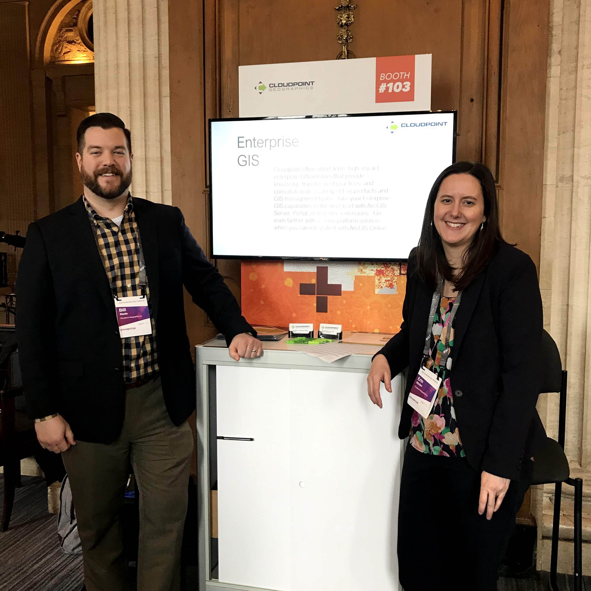
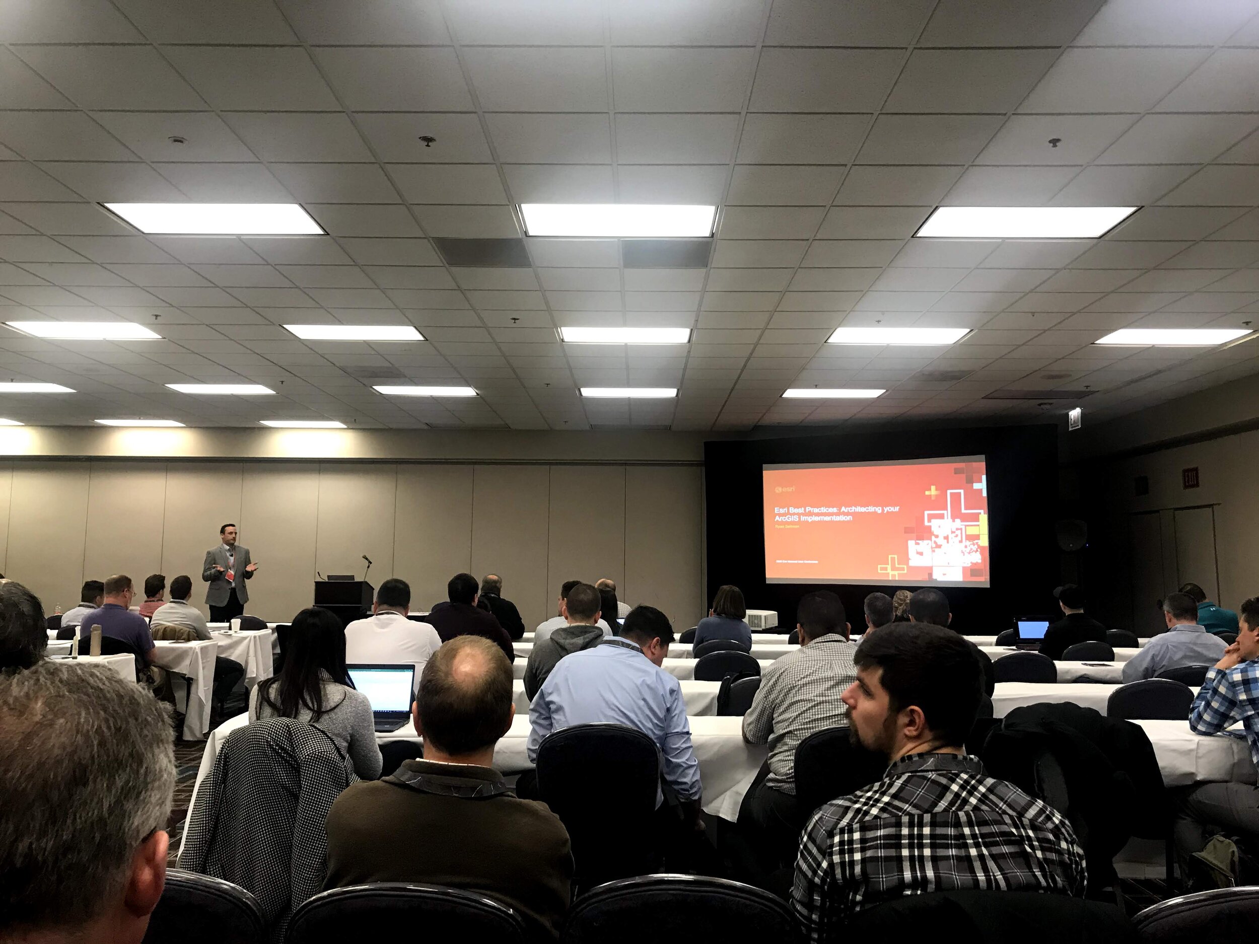
Its clear to see that after attending the 2020 Esri Midwest User Conference in Chicago, Esri knows how to put on a good show. Cloudpoint was pleased to be a part of this year’s program by being one of just seven sponsors. As expected, the event attracted GIS users, analysts, IT professionals, department managers, local and state officials from across the Midwest. The technical sessions were loaded with new content from Esri including talks about Enterprise Implementation Best Practices, Mobile & Field Collection tools like ArcGIS QuickCapture, Parcel Fabric in ArcGIS Pro, ArcGIS, Public Works Solutions for Local Governments, and a slew of others.

If you were not one of the hundreds of attendees at this year’s event, you should definitely mark your calendar for next year. It appears that this one will continue to grow in attendance and continue to attract folks from many different states. As one of our booth visitors put it, “The food here is fantastic. Much better than my last conference where all I got was 2 free drink tickets”. Of course it helps that the historic Hilton hotel in Chicago has such a knack for delivering an amazing conference atmosphere. Here are some photos from Jon, Micah, Erin, and Bill, our four team members who attended the event…


If you missed out this year, contact us or call 877-377-8124 and we’ll make sure you receive a personal invite for next year.

Customer Spotlight- Matt Supert, Western Springs

So you don’t know Matt Supert at the Village of Western Springs? Well you came to the right place to learn more. Matt serves as the…

Cloudpoint Event Recap: Morton Showcase 2019

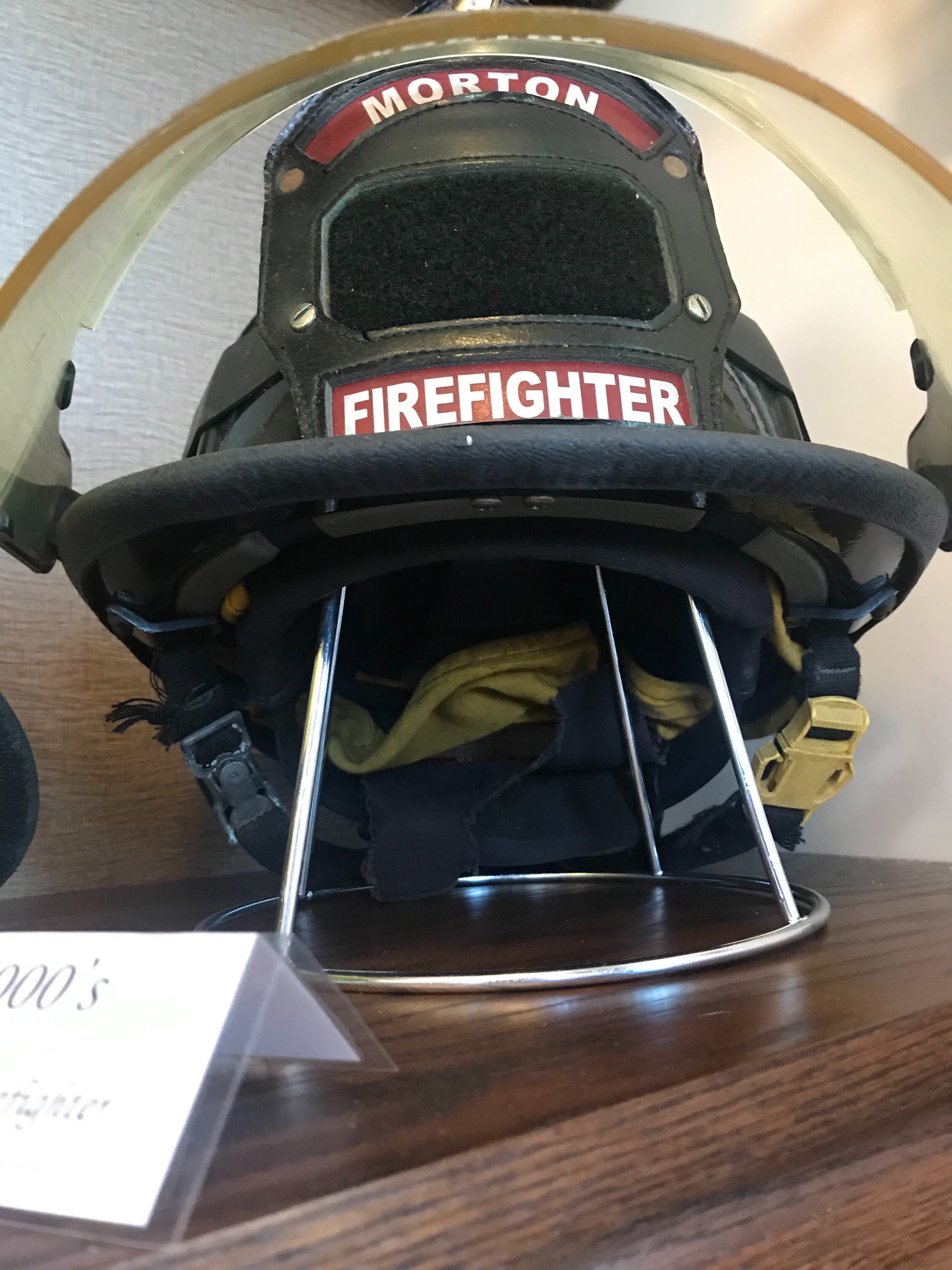
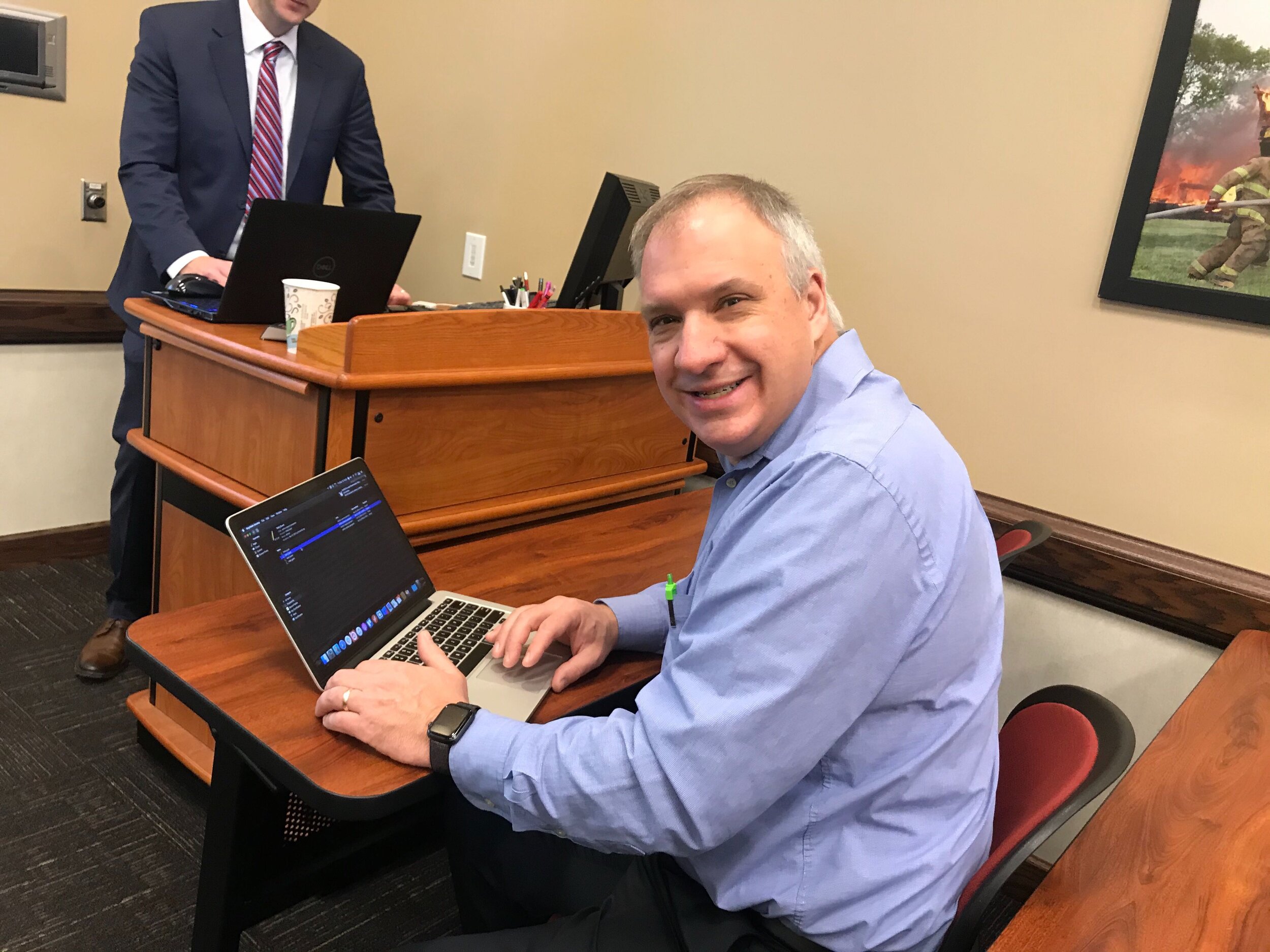
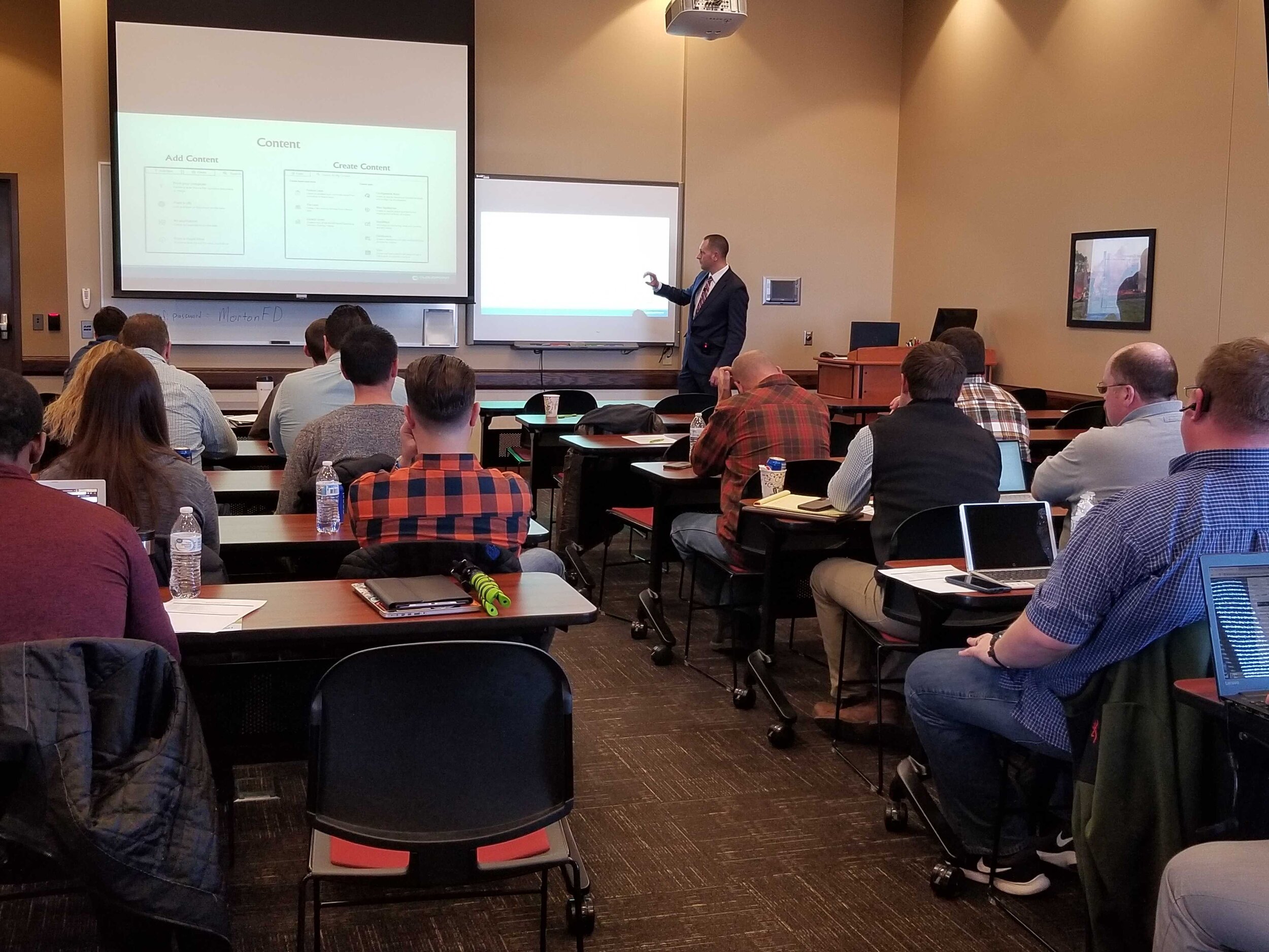
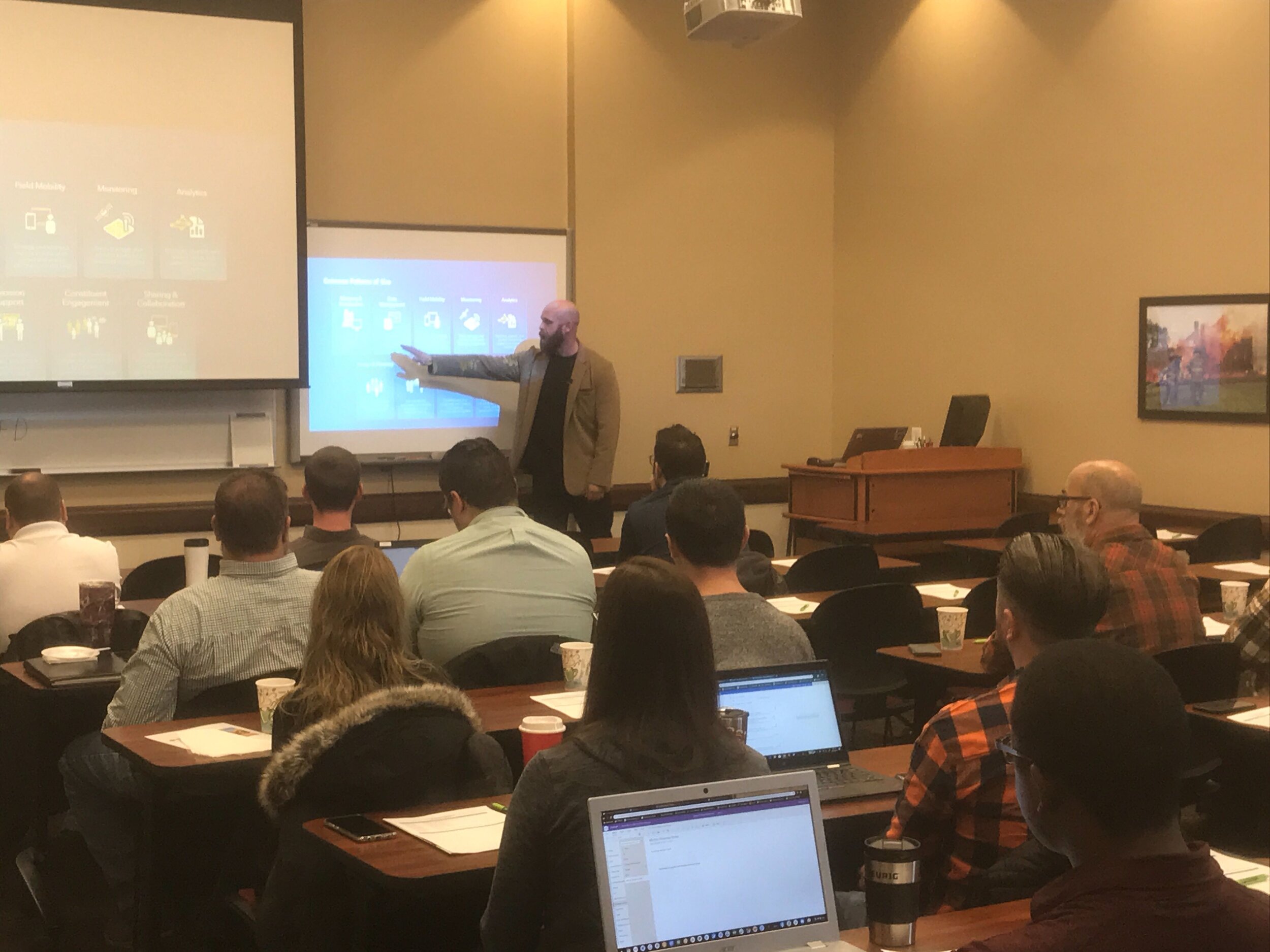
Last Friday we had the opportunity to once again gather with local government professionals throughout the Central Illinois area for the ArcGIS Solutions Showcase. Attendees traveled from as far as Galesburg , Watseka, Ottawa, and Decatur to learn about the latest solutions from Esri and pickup on some training tips for ArcGIS Online, Indoors, Hub, Dashboards, and Pro. Below are a few photos of the event. Videos of the showcase are coming soon on our Youtube Channel! This was the first time this event was captured in video recordings so please be sure to check those out in case you missed the live event. Special thanks to Mitchell Winiecki from Esri for getting the creative thinking juices flowing, and guest speaker, Glen Wetterow, GIS Coordinator for the City of East Peoria for presenting on new ways their organization is using GIS technology. To find out more about past or future showcase events visit: https://www.cloudpointgeo.com/showcaseevents

Chicagoland NG9-1-1 Dispatch Organization Receives Data Audit

Chicagoland NG9-1-1 Dispatch Organization Receives Data Audit

Cloudpoint has been working with a new client, Norcomm 9-1-1 Consolidated Dispatch Center of Franklin Park, IL. Norcomm's call center serves over 250,000 people each day by providing dispatch services for police, fire and emergency medical in several communities in…

Tazewell County 9-1-1 Receives GIS Data Upgrade

911Header.png

Late last year, the Tazewell County ETSB contracted with Cloudpoint Geographics to provide GIS Data Cleanup and Configuration in preparation for NG9-1-1. The contract includes the following major components that will be configured and delivered through Esri’s ArcGIS platform including ArcGIS Online for communities to submit updates to road centerline and address data.

  • Data Assessment to review existing data and analyze errors

  • Integration of GIS updates with the Client’s CAD (Computer Aided Dispatch) system

  • Coordination with local agencies to incorporate local GIS data layers

  • Building structure points layer with classification

  • Spatial updates to road centerlines and address points

  • Correcting topological errors in boundary layers

  • Converting data format and spatial reference to State of Illinois’ NG9-1-1 Data Standards

  • Setup & integration of Enterprise GIS for data exchange with local agencies

  • Ongoing GIS data maintenance

The results of this project will assist Tazewell County 9-1-1 dispatchers and emergency responders by improving data accuracy and increasing efficiency in response times. Additionally it will provide increased communications between the county 9-1-1 and local addressing authorities. For more information regarding Cloudpoint’s NG9-1-1 GIS data services please contact us or visit our NG9-1-1 services page.

Is your Address Data ready for NG9-1-1?

Do you know the quality of your address data in your GIS?  Did you also know that the accuracy of this data is of critical importance for the future of NG9-1-1?  As an Esri business partner, Cloudpoint Geographics understands the value of ArcGIS Solutions for Local Government, including address data management, and has been implementing these solutions for several years.  Our professional staff has the ability to review the quality of your road centerline address ranges, as well as a review of your road names in accordance with standards from the USPS to provide you with a rating score on the quality of your data.  In addition they will make recommended updates and provide a cost estimate associated with such updates.  The following are just a few solutions powered by Esri's Local Government that the Cloudpoint team can implement for you:

Data Reviewer for Addresses

Address Data Management

Address Crowdsourcing

Address Field Verification

Community Addresses

 
Capture-topo map.JPG
 

Our local government experience in building GIS solutions on the Esri platform helps us offer value-added services to agencies needing a professional solution in a timely manner.  Don't wait for Next Generation 9-1-1 to come to you, make the effort to be prepared.  For more information on pricing contact us at 877-377-8124 or submit below.

Stephenson & Junker receive Desktop GIS Associate awards!

Congratulations to Paul Stephenson and Matt Junker of Cloudpoint Geographics for receiving their ArcGIS Desktop Associate 10.5 certification.  This certificate is obtained by completing one of Esri's technical examinations which tests candidates experience applying ArcGIS concepts and processes to workflows.  Candidates must have two or more years of experience to be eligible for the award.  Paul and Matt have both displayed their proficient abilities in utilizing GIS software in the past and now have carved another 'notch in the belt' of their professional GIS career.  Well done Paul & Matt.

Water Maps getting back to Normal

The Town of Normal, IL is taking great strides in its GIS progress under the leadership of two highly talented professionals.  IT Director, Teri Legner and GIS Coordinator, Cassidy Killian are currently working with the water department to update all of their old maps.  The water distribution system is currently all mapped out in CAD however it is not exactly to scale, causing a huge challenge when trying to convert to GIS format.  Normally a simple georeferencing process can stretch or rotate the old maps to fit, however in this case it was not a practical approach due to the scale variance.  

Cloudpoint was brought in to help with this process consisting of referencing old records such as pdf valve cards, construction drawings, and CAD data to reconstruct the data in a GIS environment.  The newly converted data will be in Esri's local government data model and can be easily integrated into all of the latest Esri tools, maps, and apps including the Water Utility Network Editing and Reporting tools which are freely available to the Town as part of their current Esri licensing.  Soon the GIS department will be able to use this new GIS layer for water distribution applications such as valve isolation traces, reporting, and customer outage notifications or boil orders.  

As-built record drawings were scanned to pdf and used for reference in constructing the GIS layers

As-built record drawings were scanned to pdf and used for reference in constructing the GIS layers

Water main details are incorporated into the GIS which can later be used for system-wide analysis and reporting.

Water main details are incorporated into the GIS which can later be used for system-wide analysis and reporting.

Having Trimble GeoXH units on hand will allow the water department staff to further "fine tune" their data and collect GPS information with greater accuracy.  The professional staff at Normal has displayed great insight in migrating their data to the GIS environment and using the resources they have in place.