Another WATERCON has come and passed, but what a show it was! Bill, Jon, Matt and even Sahara put in time at the booth during the show, and it was a good thing all of us were there, as the attendance was fantastic. Billing themselves as one of the premier conferences relating to water and waster water systems in the Midwest, the number of attendees, educational sessions, and vendors proved it.
Cloudpoint providing campus-wide ADA Compliance Survey
Moving Forward with Minooka
Dash Through the Snow with ArcGIS Operations Dashboard
Another Virtual Showcase in the Bag
Cloudpoint Brings GIS To Small Towns
Cloudpoint is pleased to partner with surveying and engineering firms to bring GIS to these firms’ small municipal clients. Recently Brown & Roberts Inc. and Benton & Associates contracted Cloudpoint to provide GIS services to the City of Harrisburg, IL and…
Cloudpoint Event Recap: Morton Showcase 2019
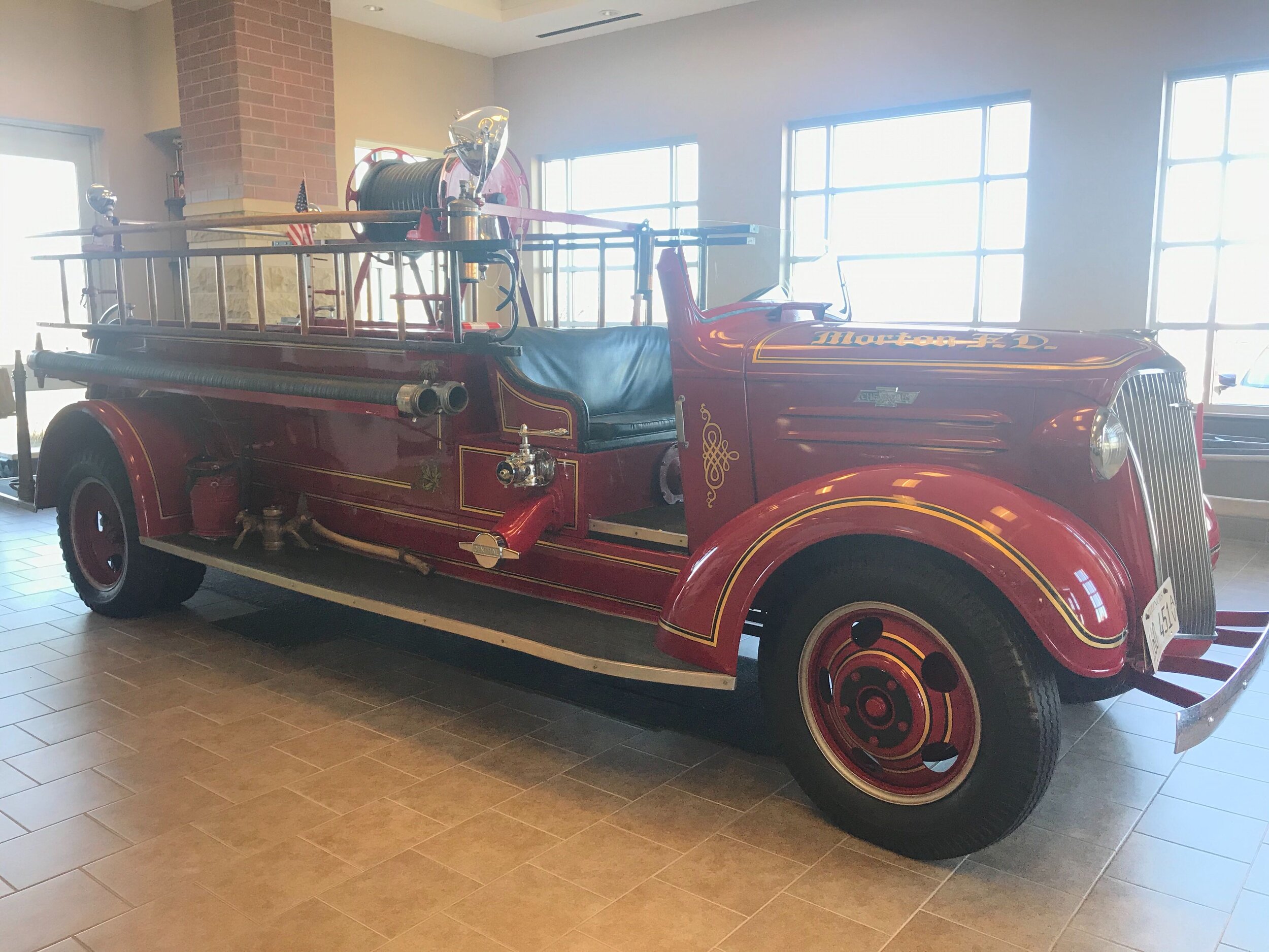
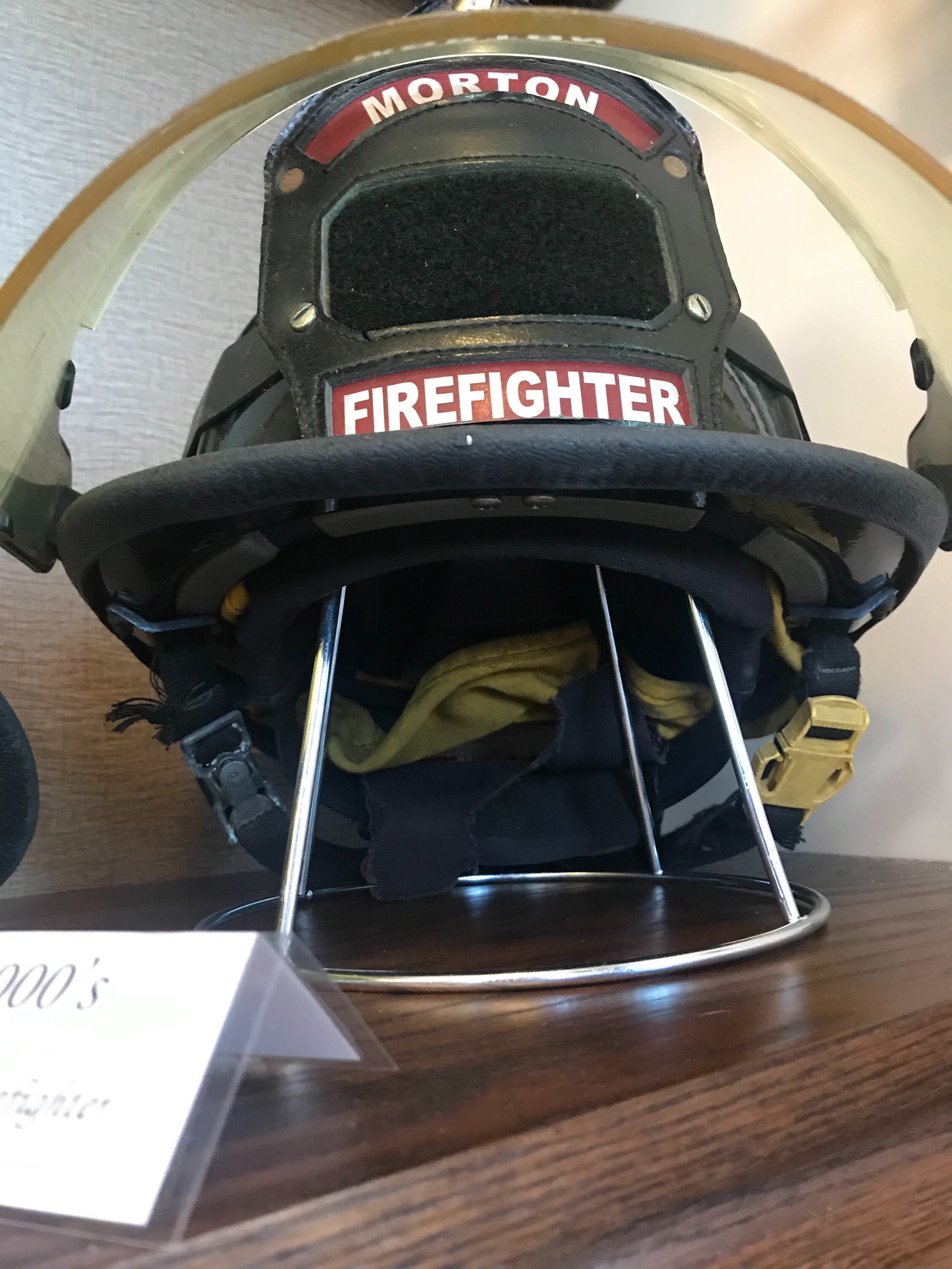
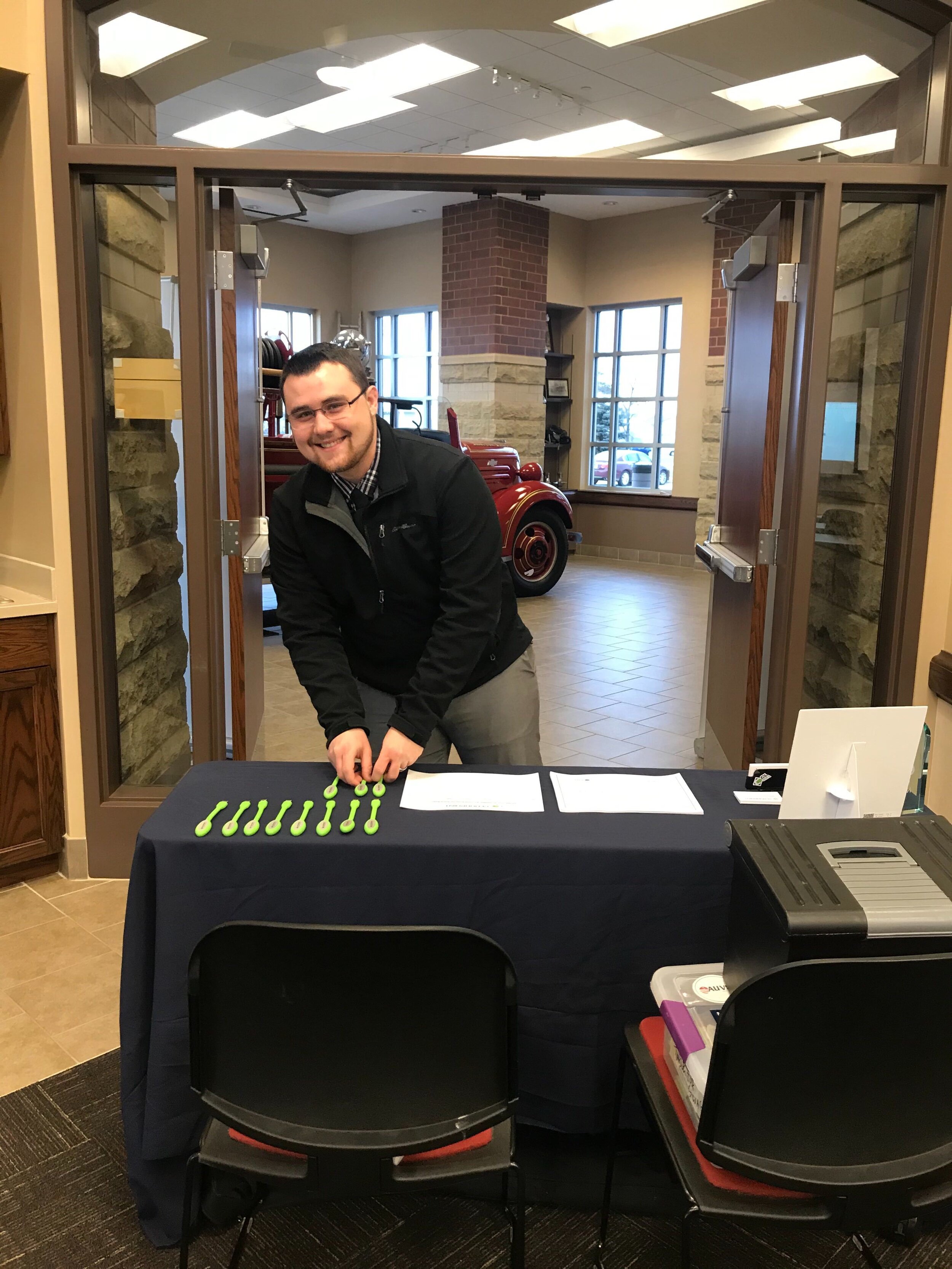
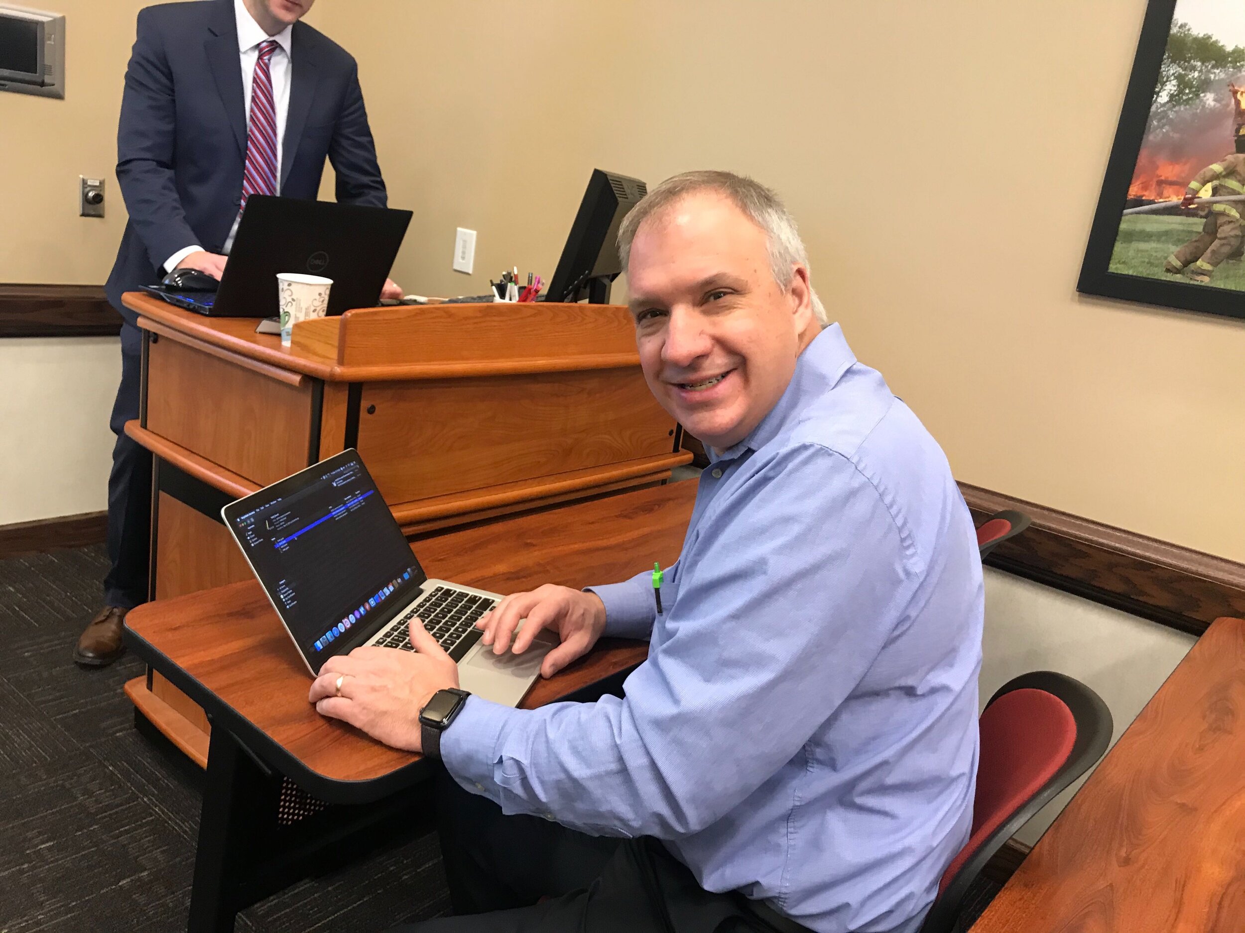
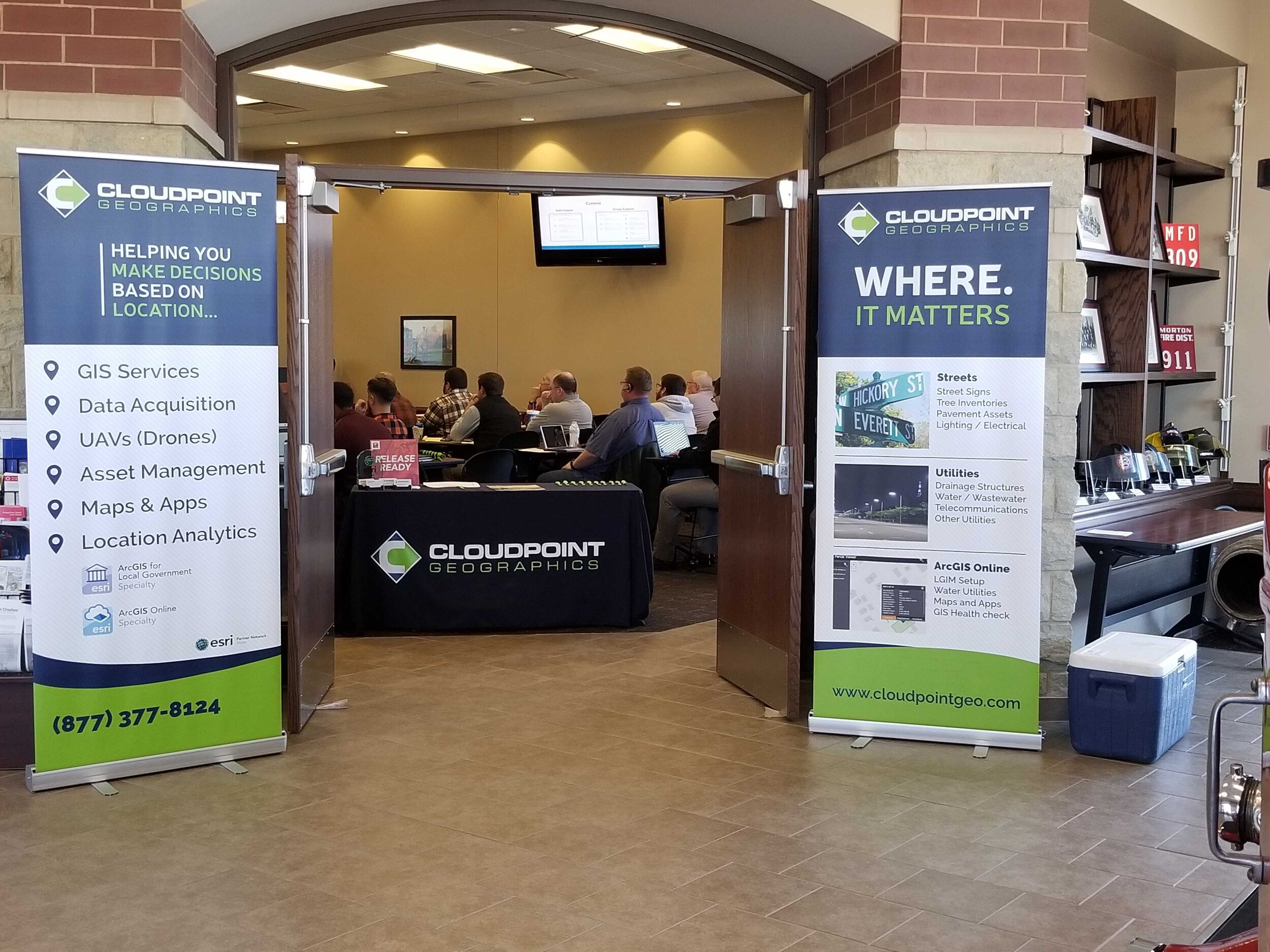
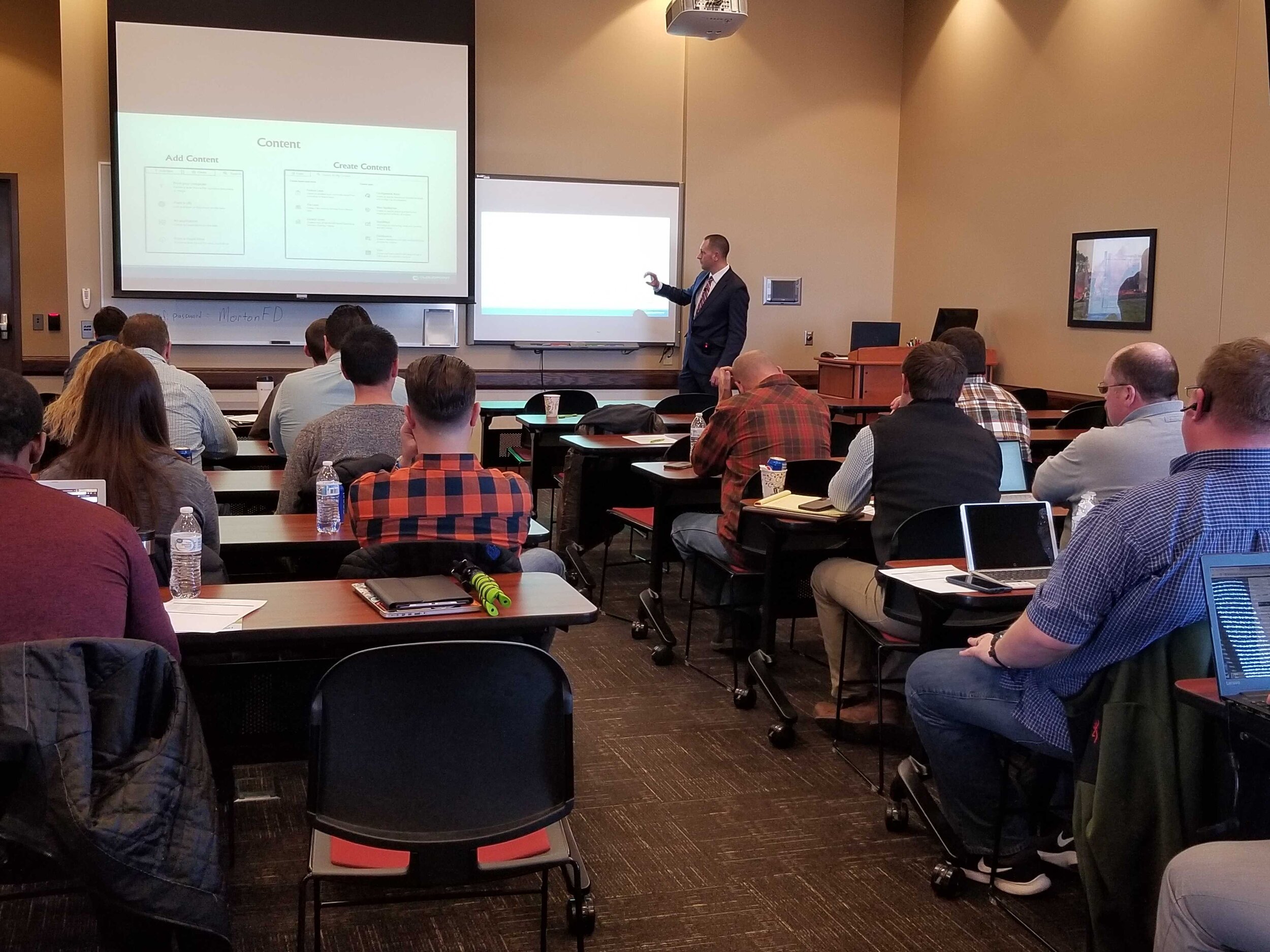
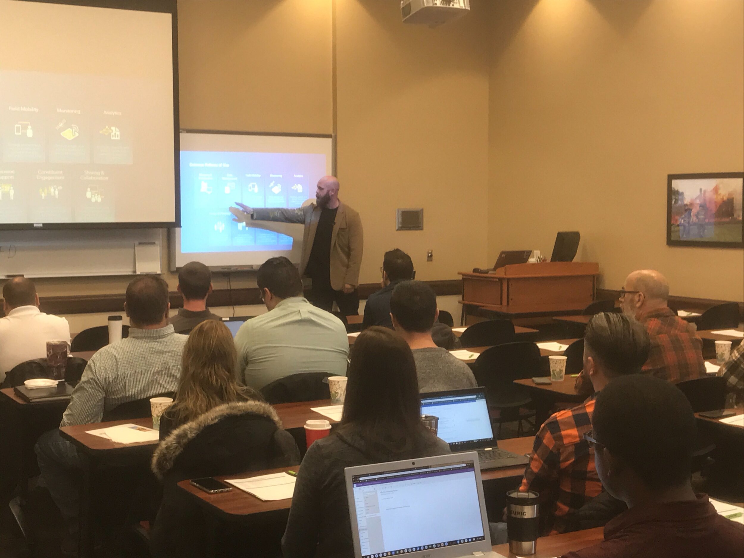
Last Friday we had the opportunity to once again gather with local government professionals throughout the Central Illinois area for the ArcGIS Solutions Showcase. Attendees traveled from as far as Galesburg , Watseka, Ottawa, and Decatur to learn about the latest solutions from Esri and pickup on some training tips for ArcGIS Online, Indoors, Hub, Dashboards, and Pro. Below are a few photos of the event. Videos of the showcase are coming soon on our Youtube Channel! This was the first time this event was captured in video recordings so please be sure to check those out in case you missed the live event. Special thanks to Mitchell Winiecki from Esri for getting the creative thinking juices flowing, and guest speaker, Glen Wetterow, GIS Coordinator for the City of East Peoria for presenting on new ways their organization is using GIS technology. To find out more about past or future showcase events visit: https://www.cloudpointgeo.com/showcaseevents
SignOps Celebrates 5 Years!
It was 5 years ago this month, in 2014, that Cloudpoint introduced its first and only asset management application, SignOps, for traffic sign inventories. SignOps was introduced as an innovative, web-based sign inventory management system that will make your team more efficient and your inventory tracking a snap. Since then, public works and transportation crews have been enjoying the SignOps mobile app, which allows users to easily collect GPS location, photos, and even scan barcodes to track maintenance history, retroreflectivity, and sign inspection information. This is just one example of how Cloudpoint Geographics is helping its many clients use location based technology to make informed, data-driven decisions. For more information about SIgnOps sign inventory management system visit cloudpointgeo.com/signopsinfo or call 877-377-8124.
Facts about SignOps
• Over 120 users
• Over 30,000 maintenance activities
• Over 750 pre-loaded sign types
• Scalable, Secured, Performance cloud-based storage
• Unmatched technical support
• Developed and tested with End Users
Here you can find printer friendly versions of our SignOps Brochure or the Signs of Success Case Study
City of Bloomington looks to optimize routes
A typical automated collection truck outfitted with optimized routing is an efficiency machine
The City of Bloomington is practicing good stewardship for the tax payers and looking to improve efficiencies for its solid waste collection program. To do so, they have hired Cloudpoint Geographics to look at existing garbage pickup locations and compare them with the GIS roadway network to find the most optimized routes of travel. These optimized routes will help identify the most efficient routing pattern for trucks based on travel times and traffic patterns. Some of the benefits the City hopes to recognize as a result include improved customer service; cost savings on fuel, staff, and equipment; equitable workload for route drivers; and the ability to utilize this data for future GPS and real-time monitoring applications. Questions regarding route optimization can be directed to Jon Hodel at (877) 377-8124.


