Company News

A Warm Cloudpoint Welcome to New Team Member, Bill Steele!

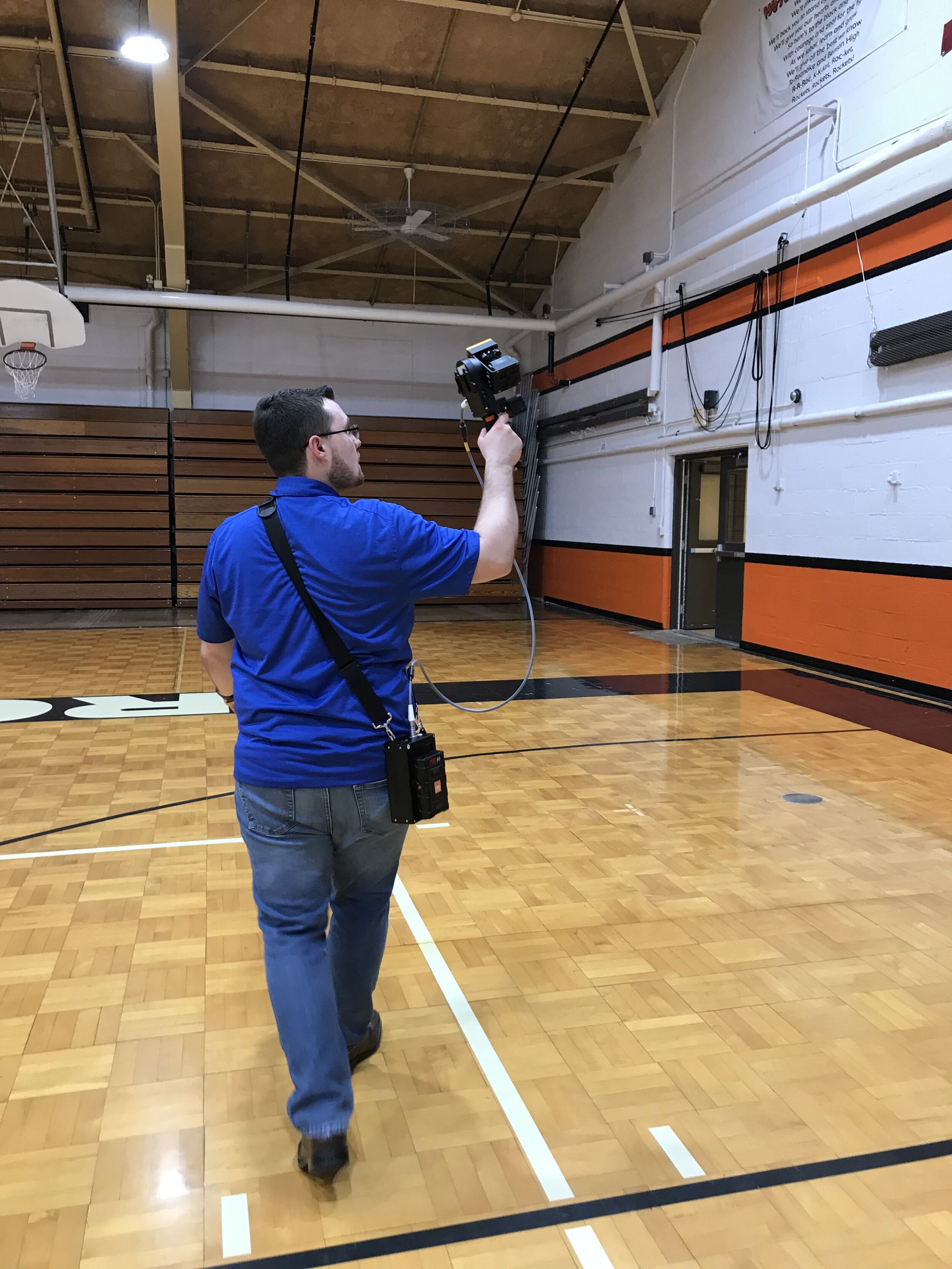
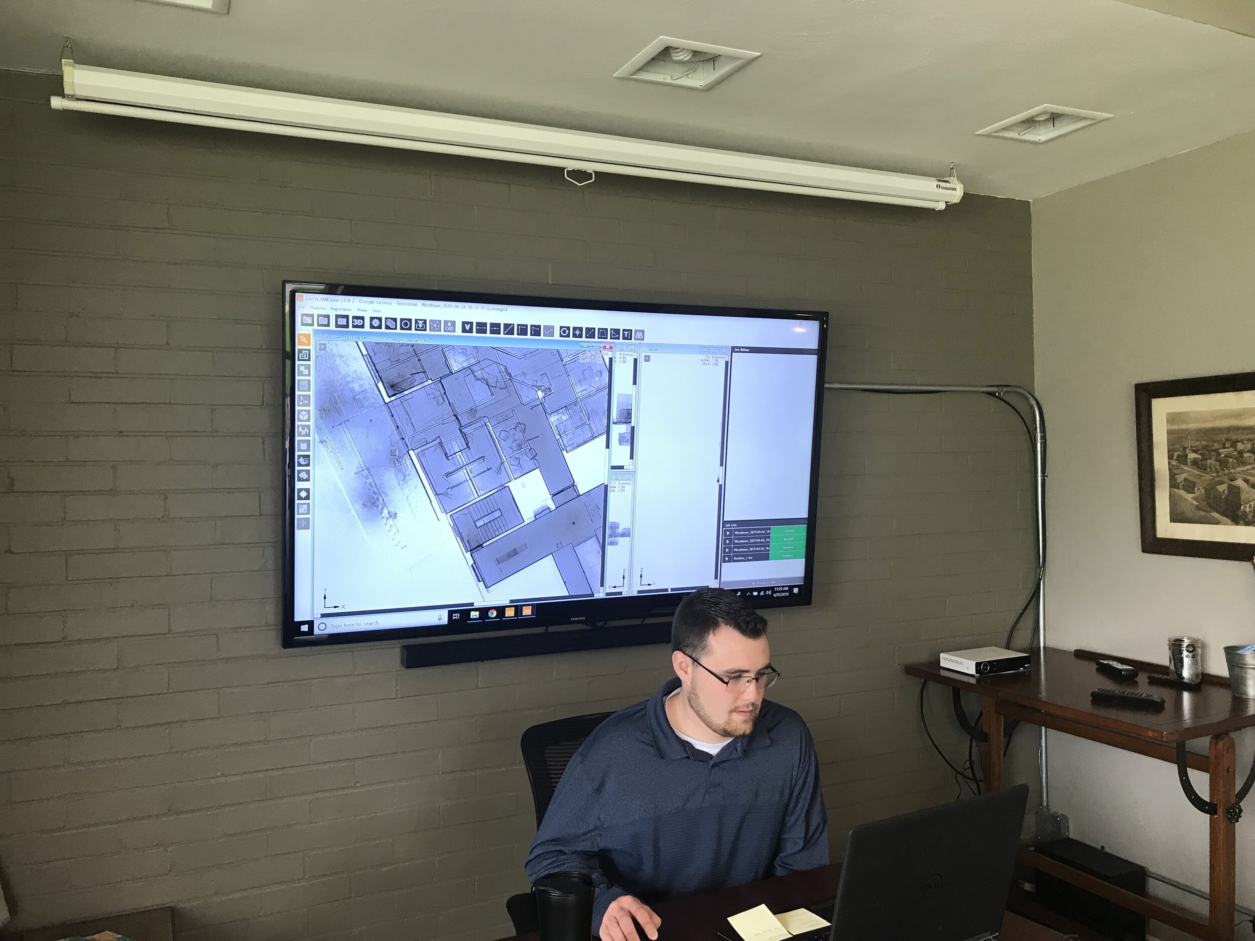
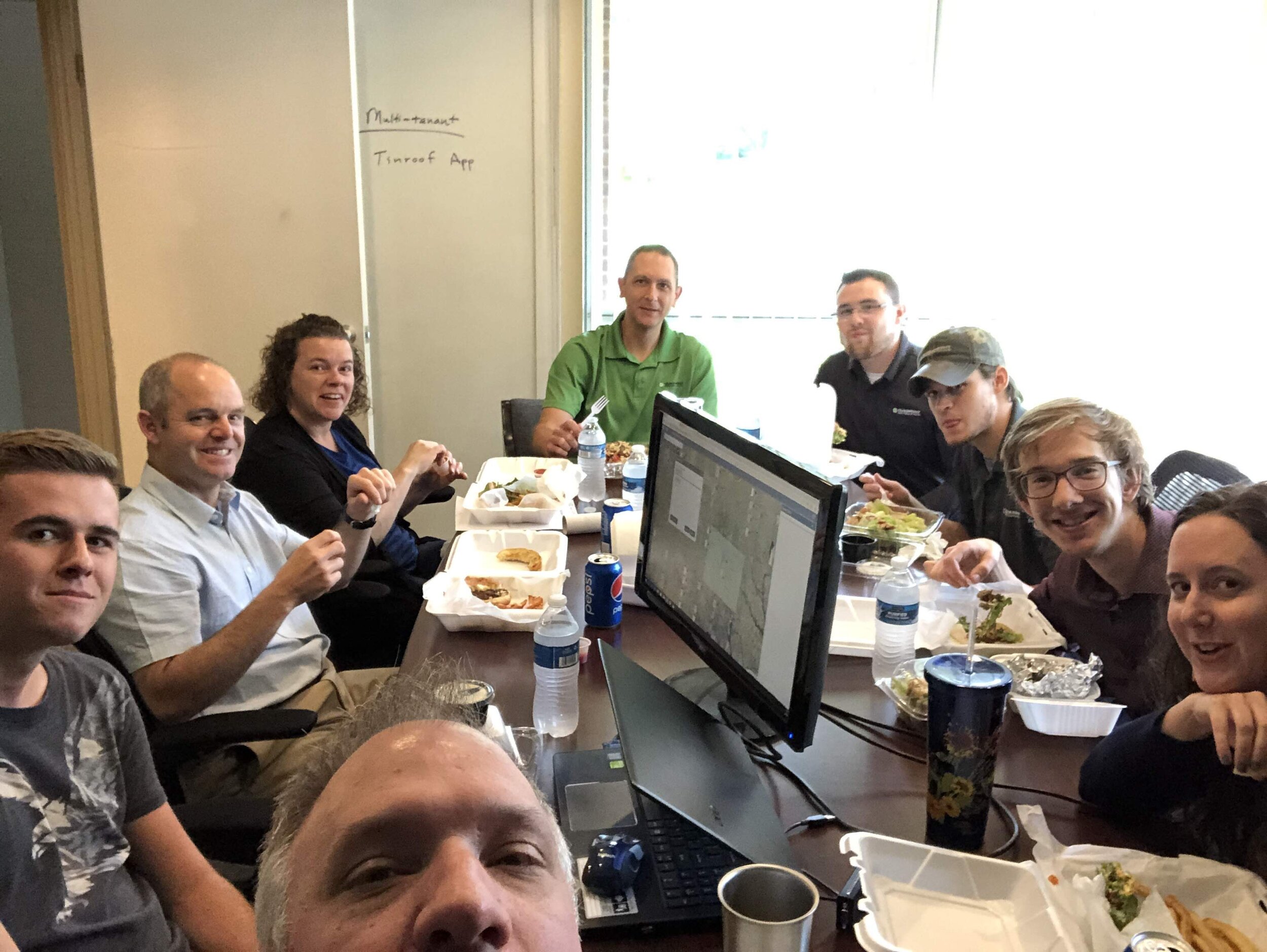
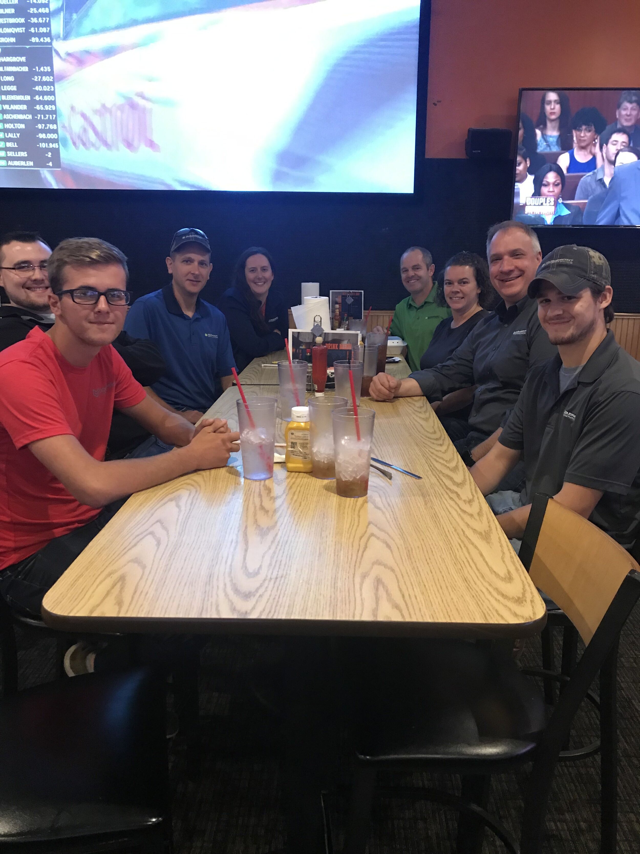
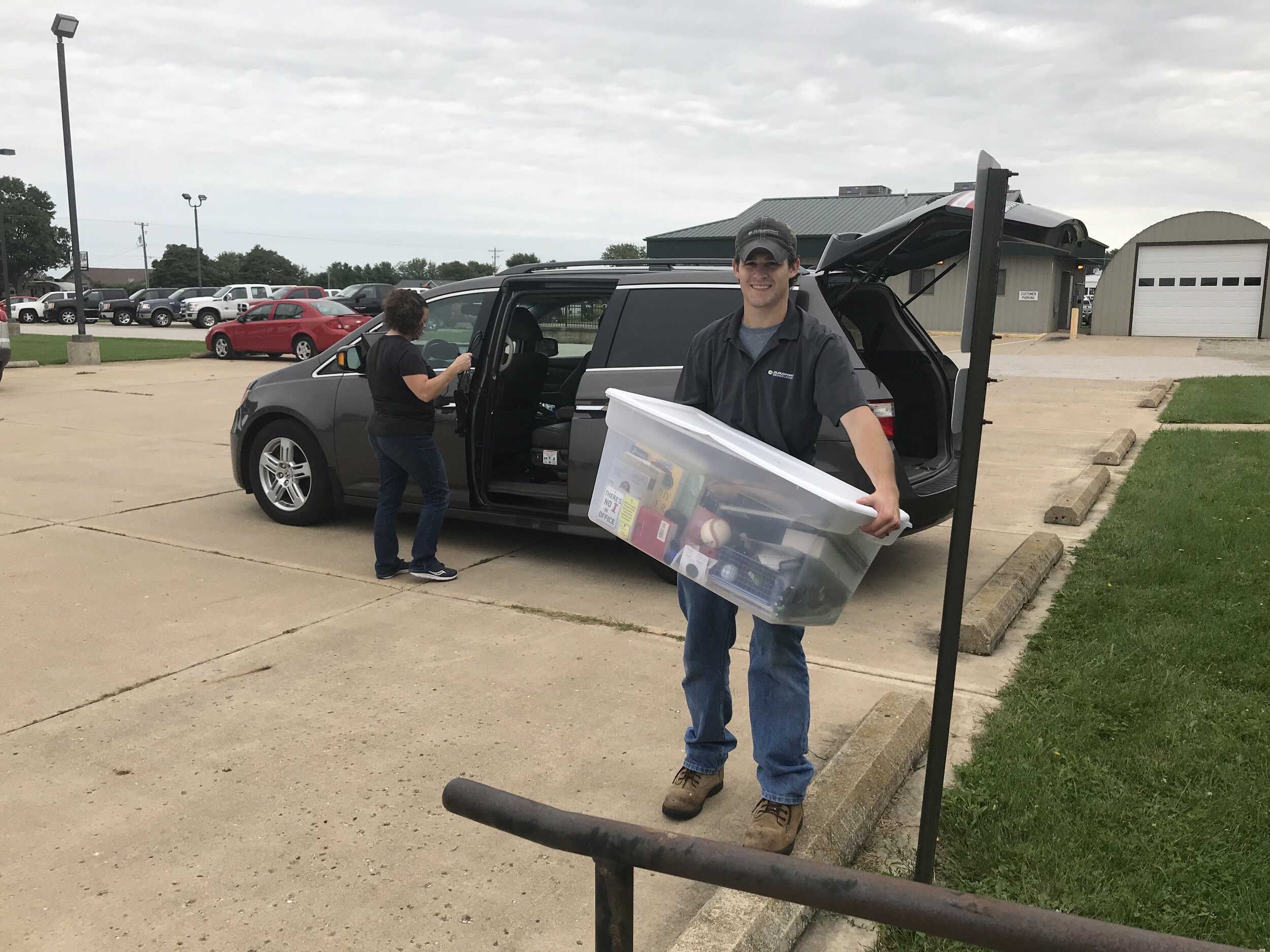
Next Monday marks two weeks since Bill has joined the Cloudpoint team as our Business Development Specialist. The main focus of this position is building relationships with existing and potential customers to help them make data-driven decisions based on spatial location. To do this job effectively, you must be confident, independent, and adventurous. We have been able to see all of these qualities in Bill in the past two weeks and are glad to welcome him to our winning team.


IMG_0623.jpg

Bill comes from a background of cemetery management and legacy planning. His background also includes healthcare and insurance. The spark for a love of business development in these areas may have been from working with his dad in a small business out of their home. His knowledge of cemeteries has helped him catch on so quickly regarding the services we provide for cemeteries. On just his fourth day, he was able to go out and talk to potential clients about Cloudpoint’s professional services. He is begun reaching out to potential cemetery customers helping them learn more about managing burials and lot sales using a highly-accurate interactive mapping interface.

We are thankful to have Bill as a part of our team and appreciate the effort he has put in thus far.

Billcard.png

Now enough about work.

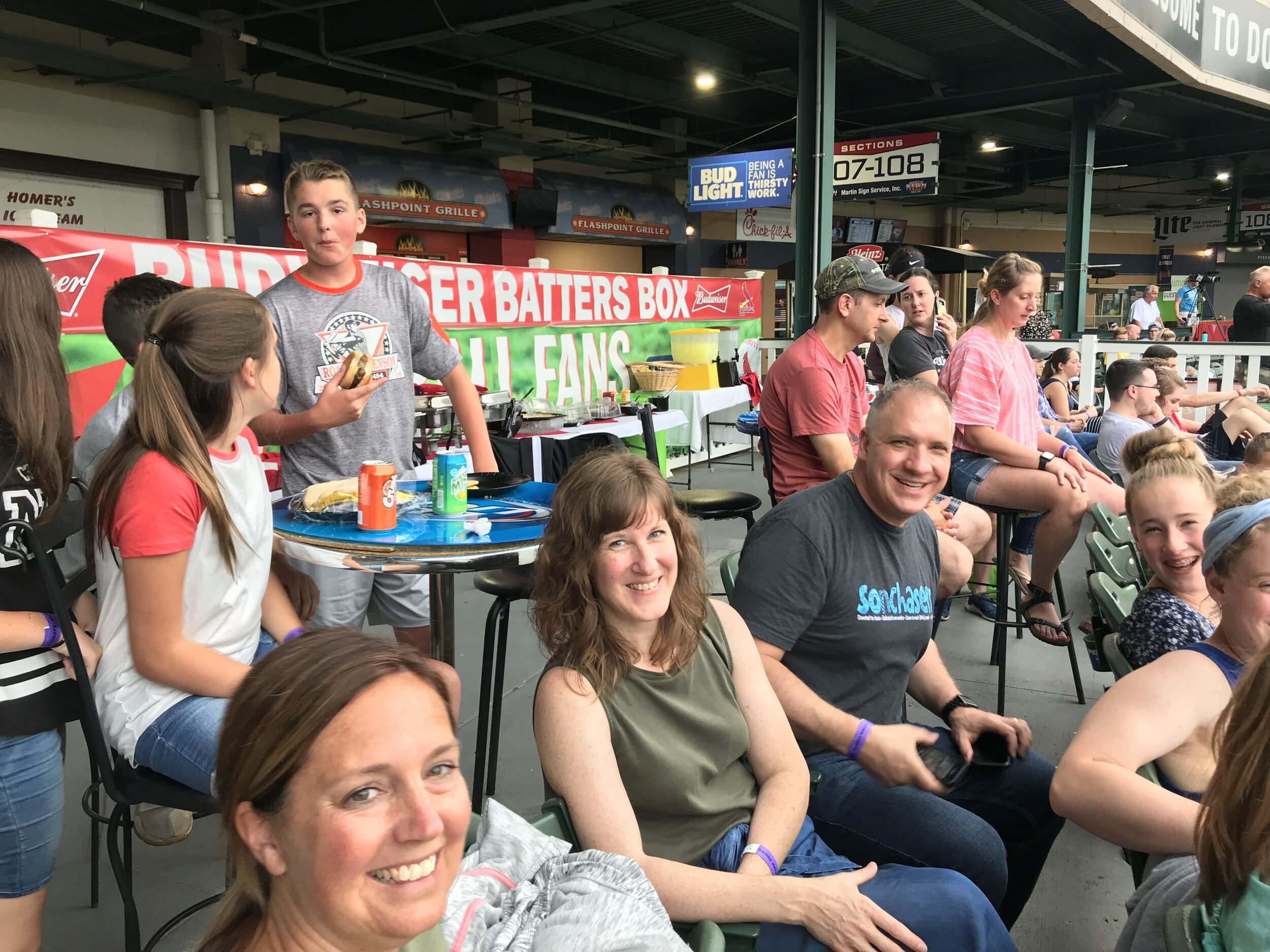
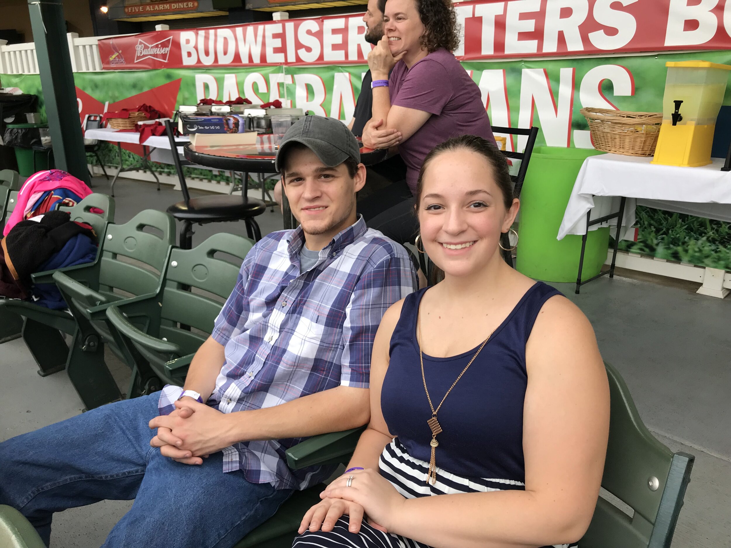
In his leisure, Bill enjoys spending time with his family (Wife and two daughters) and also reading and listening to music. Home renovation and landscaping projects are a popular activity for Bill along with cooking. He has a goal to visit every MLB stadium and is also a St. Louis Cardinals fan so that is a plus for the Cloudpoint team.

Want to contact Bill? Here’s his card.


Cloudpoint Geographics' Year Portfolio 2019

Our team is thankful for yet another successful year as we continue to grow together as a team and build friendships among ourselves and those we serve. Below are our most memorable highlights of this past year.


January:

Cloudpoint kicked off the year by attending the 2019 NENA conference in Orlanda. Erin Strickler, the NG911 team lead was able to gather more information on standards and expand on the team’s GIS data audit and cleanup capabilities with her additional expertise she brought back.

February:

Cloudpoint team members, Micah and Matt, exhibited at WLIA (Wisconsin Land Information Association) this year. While they were there, they discussed Managed GIS Services, Kickstart Services, NG9-1-1 Data Audits, and Esri’s Parcel Fabrics. Also in February, Jon and his family moved to a different home in Roanoke which his family continues to enjoy the neighbors and the park nearby.

March:

Jon attended the Esri Partner conference for the first time. After Micah encouraged him from his past visits, the opportunity presented itself to enjoy a business vacation, to the West Coast where he and his wife, Megan, represented Cloudpoint at the Esri Partner Conference. They enjoyed seeing popular tourist attractions and going for hikes in their spare time.

April:

April of 2019 marked the 5th birthday of SignOps! This is the application we use to for sign inventory asset management which helps the user to track inventory, maintenance history, collect GPS location, and more for their traffic sign inventories. With its cloud-based features, SignOps comes in a variety of flavors for use on desktop browsers and mobile devices.

May/June:

May brought exciting new technology as Cloudpoint was able to participate in Esri’s ArcGIS Indoors Specialty training in Redlands, CA. The team is currently working on a pilot project and partnering with Esri to build on its Indoors capabilities throughout the Midwest.

Cloudpoint welcomed two summer interns in June; Titus Williamson and Drew Martin. They helped immensely with projects such as Springdale Cemetery, various Parcel Fabric conversions, and ArcGIS Enterprise intalls.

In June, we started working with a new client; The City of Rockwall was our first client of our Parcel Fabric in the Lone Star state and it has been a joy to work with their staff.

Icecream You-scream were all part of our debt free scream!

July:

July brought more than one independence celebration. We were able to celebrate the payoff of all debt and become a debt free company.

In addition, Matt Junker was able to attend the Esri User Conference. He had a busy week learning and discussing the latest in Parcel Fabric and he even heard about something new called Excalibur.

August:

Jon Hodel was able to attend the CFTA(Campus FM Technology Association) Conference in Austin, TX for the first time this year. Not only was the conference an exciting and memorable experience but the city itself was an amazing experience!

Team member, Matt Junker, became a certified GISP (Geographical Information Systems Professional). Becoming certified is not an easy task. It takes many long hours of preparing and then taking the strenuous GISP Exam. However, Matt survived without a scratch. We are so glad to have a co-worker with a great passion for his work.

Jon provides an interactive tour of the new office from his daughter's hover board. Be careful it might make you sick. #donttrythisathome

September:

After several weeks of renovation and a few days of moving our belongings across town, Cloudpoint is now able to call Suite B of 1407 W Front St. home. It is spacious and inviting and most importantly a great place for put-put. The stone fireplace adds a great touch and some added warmth in the winter months.

October:

In September, we sought after someone to fulfill the Marketing Intern position. That person ended up being Destyne King, a Junior at Roanoke-Benson High School. She sends out email campaigns, organizes contacts, and writes our blogs (much like this one). After high school, she plans to work as well as attend ICC (Illinois Central College) to earn an Associate’s degree in Marketing/Business then to earn a Bachelor’s at undecided university.

Another project highlighted in Octorber was Westlawn Cemetery, which strives to provide the up-most convenience for their visitors. This is why they called upon Cloudpoint to help them create a visitor’s kiosk. This would enable visitors to search for loved ones when the office was closed. This kiosk is a routing service that leads people to a grave they search for.

November:

Micah, our Geospatial Services Director and leader of our Enterprise and Ongoing Services team, earned the Hilton Distinguished Collaboration Award at the ILGISA Conference this fall. In an interview, Micah said, “ I’ve always kind of bent towards talking about what someone is doing or encouraging people to go out and present what their doing. Tell your story rather than, you know, keep it quiet.” We are grateful to have a team member like Micah.

December:

Cloudpoint was honored to work with Norcomm, a 9-1-1 consolidated dispatch center in the Chicago land area. We preformed a data audit for Norcomm. By doing this, we check their data to make sure it is able to meet the State’s requirements and play a vital role in the life-saving services that Norcomm provides each day.

Cloudpoint’s, Micah Williamson preparing some last minute technical components of the 2019 winter showcase held in Morton, IL.

Cloudpoint’s, Micah Williamson preparing some last minute technical components of the 2019 winter showcase held in Morton, IL.

As many know, Cloudpoint hosts a winter showcase in Morton annually. Each year’s showcase however is unique. We enjoyed wonderful, engaging talks by Esri and special guest, Glen Wetterow from the City of East Peoria. We are already excited for next year’s winter showcase.


…And that’s a wrap. Are you interested in joining our team, or learning more about how Cloudpoint can help you make data-driven decisions? Contact us or call us at (877)-377-8124


Cloudpoint Team Member, Micah Williamson, Earns Distinguished Award!

Have you heard? Our very own, Micah Williamson, earned the Hilton Distinguished Collaboration Award at the ILGISA Conference. Micah has been a member of the Cloudpoint team for 7 years, but has been working in the GIS industry for 18 years. At Cloudpoint, he works as our Geospatial Services Director and a certified GISP (Geographic Information Systems Professional). If he doesn’t already sound busy enough, you’ll be surprised to hear that Micah is currently continuing his education (Master’s Degree) at Eastern Illinois University. Micah has a great passion for the work he does.

On October 22nd during the ILGISA Conference, Micah received the Hilton Distinguished Collaboration Award. One award is given out annually at each conference. According to ILGISA, “the Hilton Distinguished Collaboration Award is presented to an individual who has provided extraordinary service to the GIS community in the advancement of coordination between GIS professionals. This award is presented to an individual who has made a significant contribution to the promotion of cooperation within our community and with the people we serve.”

In an interview with Micah, he mentioned that he always strives to do things that would focus on people sharing with each other: ideas, concepts, and even data. Micah emphasized that collaboration is a vital aspect of communication. Later in the interview, Micah spoke out about about his long-lived inclination for collaboration. “I’ve always kind of bent towards talking about what someone is doing or encouraging people to go out and present what they’re doing. Tell your story rather than, you know, keep it quiet.”

We are proud of Micah and his achievement and we will continue to focus on collaboration to better our services to you.

Office Move 2019 is complete!

Which comes first, the chicken or the egg? Do you expand your office space and then hire, or wait until you are too crowded and then seek more space? With being located in a small, rural town in central Illinois, office space can be hard to find. So we decided to expand our facilities prior to increasing the size of our team. On September 9, 2019 we moved into what used to be Hagie Equipment, and prior to that was the Amish furniture store in the main portion of a building originally built by H&D Quality Builders. The new space gives us more room, updated facilities, more parking, better access, and improved visibility as we fill out the middle section of 1407 W. Front St in Roanoke. Here are some photos of the recent move process highlighting our team members hard at work. Thankful for God’s blessings in helping us find new space and looking forward to serving our clients in greater capacity.

Congratulations to Matt Junker, our latest GISP!

Congratulations to Cloudpoint's, Matt Junker, for becoming the team's latest certified GIS Professional (GISP).  Matt recently sat for the GISP examination through the GIS Certification Institute (GISCI) back in June.   Obtaining a GISP certificate involves an extensive application process which now includes the exam requirement.   A certified GISP is someone who has proven to be dedicated to the GIS profession and has a clear grasp on geospatial concepts and how to apply them.

734517E5-FADC-4FFD-B076-8062C9392380.jpeg

“Matt is clearly one of the most dedicated GIS professionals in the industry", says Hodel. “He has a tremendous impact on our team’s ability to solve critical problems with geospatial solutions”. One of Matt’s main responsibilities at Cloudpoint is to provide on-going solutions to their managed GIS services clients. Matt also serves as the team leader for the company’s parcel fabric team.

Certified Geographic Information Systems (GIS) Professional endorsed by a 3rd party (GISCI) though a peer-reviewed evaluation.The GIS Certification Institute (GISCI) is a non-profit organization that provides the GIS community with a complete certification program, leading to GISP® (Certified GIS Professional) recognition. GISCI offers participants around the world, from the first early years on the job until retirement, a method of showing competence as professionals to employers in the GIS profession. We offer the only industry-wide, internationally-recognized, software-agnostic certification available to geospatial professionals. The following are some notes highlighting what makes a certified GISP:

  • Has met the minimum standards for educational achievement, professional experience, and manner in which he or she contributes back to the profession, and practices in an ethical manner.

  • Must abide by higher guidelines for ethical behavior.

  • Continues to educate and reeducate him or herself while preparing for recertification.

  • Has had their professional background scrutinized and reviewed by an independent third party organization. An Institute comprised of leading non-profit associations (AAG, NSGIC, UCGIS, GITA, URISA, and GLIS) focused on the application of GIS and geospatial technology.

  • Can come from anywhere in the world, and current, active GISPs reside in all 50 States and 25 foreign countries.

  • Is more than a practitioner of GIS technology.

  • Is a Professional.

Well done Matt!

City of Pekin ready for GIS Excellence

download (3).jpg

The Cloudpoint is excited to have the opportunity to take the City of Pekin’s GIS to the next level. The city has used Cloudpoint’s professional GIS services off and on for the past five years but after losing their full-time GIS coordinator last fall, they realized the critical importance of maintaining their GIS system and decided to take their relationship with Cloudpoint from one of courting, to a more serious partnership. With that, Cloudpoint and the City of Pekin have engaged in a two-year contract for professional GIS services to support the various departments throughout the city. The team has begun intensive meetings with city staff to further dive into their needs and how they can better utilize the GIS system for their daily workflows. With the new contract, Cloudpoint staff will be onsite for up to 30 hours per month, with additional technical support services coming in the forms of enterprise GIS management and GIS application deployment. One of the main objectives is to enable city staff to take more ownership of GIS data and make edits and updates for their department with user-friendly web-based applications. The Client has a wealth of GIS data which has been well managed and distributed in the past but with greater editing capabilities, the use of real-time GIS updates should further enhance the value of their data. In addition, the city hopes to easily share this authoritative data both internally as well as externally to contractors, consultants, and developers. For more information on Cloudpoint’s Managed Professional Services (MPS) please contact us or call 877-377-8124.

SignOps Celebrates 5 Years!

It was 5 years ago this month, in 2014, that Cloudpoint introduced its first and only asset management application, SignOps, for traffic sign inventories. SignOps was introduced as an innovative, web-based sign inventory management system that will make your team more efficient and your inventory tracking a snap. Since then, public works and transportation crews have been enjoying the SignOps mobile app, which allows users to easily collect GPS location, photos, and even scan barcodes to track maintenance history, retroreflectivity, and sign inspection information. This is just one example of how Cloudpoint Geographics is helping its many clients use location based technology to make informed, data-driven decisions. For more information about SIgnOps sign inventory management system visit cloudpointgeo.com/signopsinfo or call 877-377-8124.


Facts about SignOps

• Over 120 users

• Over 30,000 maintenance activities

• Over 750 pre-loaded sign types

• Scalable, Secured, Performance cloud-based storage

• Unmatched technical support

• Developed and tested with End Users

Here you can find printer friendly versions of our SignOps Brochure or the Signs of Success Case Study


Meet the Cloudpoint Team at the WLIA 2019 Annual Conference

Cloudpoint Geographics will be exhibiting at the WLIA Annual Conference Feb 20-22, 2019 at Red Lion Hotel Paper Valley in Appleton, WI.

Capture.JPG

Look for Cloudpoint’s Micah Williamson and Matt Junker at the upcoming conference. Stop by with any questions regarding our services including:

Wisconsin Land Information Association has been an excellent organization to be a part of. Every conference is filled with learning opportunities as well as great social activities. Don’t miss out on your chance to be part of the latest GIS news in Wisconsin during this upcoming event.

Contact us for more information or to setup a time to meet at WLIA.


YouTube Channel Recognized in top 10 GIS

Not to sound braggadocios, but we are great at GIS. It is just a fact, it’s what we do. Jon likes to say “GIS is our first thought, not an afterthought”. Helping organizations is a part of our vision and our vision is etched in stone.

GIS Youtube Channels

We also create helpful content for our clients, or even people we will never meet. Making YouTube content has been a part of Cloudpoint’s DNA since the beginning when we bought our first GPS receiver. Our faithful follower-ship is completely organic and grassroots.

This dedication to good content has been recognized by a third-party and We are proud to let you know we are ranked SECOND! These Youtube Channels are ranked based on following criteria

  • Total youtube channels subscribers, video views, and video uploads

  • Quality and consistency of videos

  • Youtube search ranking

  • Feedspot editorial team’ objective and subjective review

Screen Shot 2018-11-29 at 6.45.00 PM.png

New Team Member: Mike Genard

We are very pleased to introduce to you Mike Genard, Cloudpoint’s newest team member and latest GIS technician.

20181106_111217.jpg

Mike discovered his passion for geography while in school and recognizes the power and potential of geospatial technology. Mike received his Bachelors of Science degree in Geography along with a minor in Environmental Studies this past spring from Illinois State University where he was able to demonstrate his geographic capabilities by being named the recipient of the Margaret Means Award and Scholarship, awarded annually to the student who displays academic excellence in the classroom. While he attended ISU, Mike was able to build a firm foundation in GIS cartography and remote sensing.

Over the course of the summer, Mike interned with the Peoria Park District, where he gained practical experience in mapping, environmental practices, and interacting with the public. He was hired on by the Park District as a research technician and utilized GIS to assess pollinator habitat across Central Illinois. As an aspiring GIS professional, Mike looks to expand his geographic knowledge and skillset and become certified in GIS. Outside of work, Mike enjoys outdoor recreation, spending time with friends and family and cheering on the Chicago Bears and Blackhawks.


You can see his official bio

along with the rest of our team over on our staff page